
Wusstest du, dass der 13. Oktober „International Day for Disaster Risk Reduction (IDDRR)“ – der Internationale Tag für die Reduzierung des Katastrophenrisikos ist? Seit 1989 nutz das Büro der Vereinten Nationen für Katastrophenvorsorge diesen Tag, um eine globale Kultur des … Read More
Deutsch
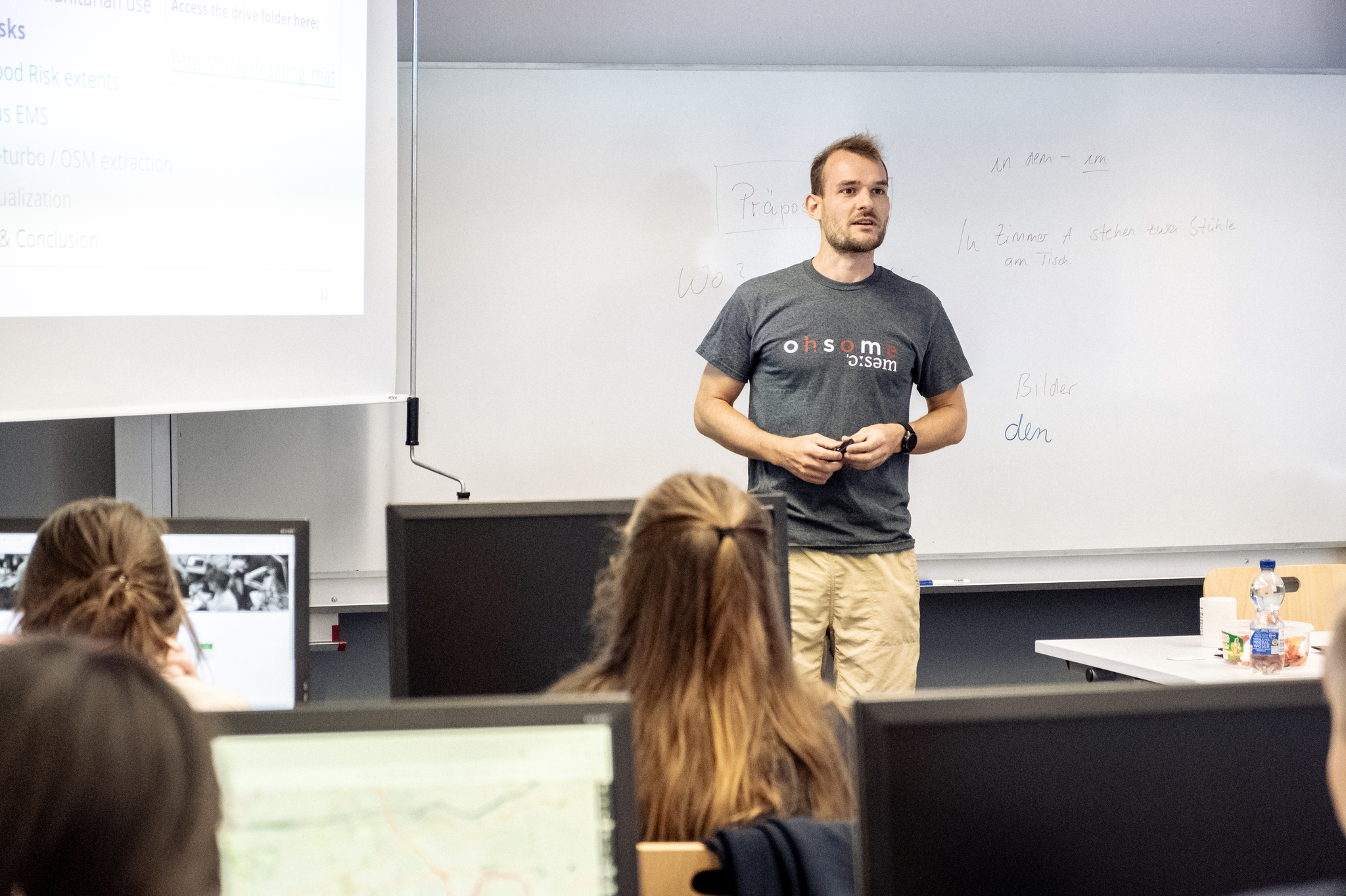
HeiGIT at Summer School Disaster Risk Reduction 2023
Today we’d like to tell you about the Summer School Disaster Risk Reduction 2023 event hosted by the Environmental Campus of UAS Trier in Germany and organized by the German Committee for Disaster Reduction (DKKV). During this one-week course that … Read More
Tools for Disaster Risk Reduction by HeiGIT – Celebrating the International Day for Disaster Risk Reduction
Today we celebrate the International Day for #DisasterRiskReduction. HeiGIT offers a growing set of tools and services that support humanitarian aid during and before disasters. Examples include work in the context of the Missing Maps initiative, like conceptualising and extending … Read More
Open Positions GIS at German Red Cross – Cooperation with HeiGIT
Das Rote Kreuz Generalsekretariat Berlin schreibt aktuell zwei interessante Vollzeitstellen aus (Standort Berlin). Eine davon – als Fachreferent Geoinformatik – ist direkt auf die konkrete Zusammenarbeit mit dem Heidelberg Institute for Geoinformation Technology (HeiGIT gGmbH) an der Universität Heidelberg ausgerichtet. … Read More
Disaster Risk Reduction, OpenStreetMap and Missing Maps at Global Platform 2019
Global Platform 2019 in Geneva Creating maps helps humanity. Drawing maps together with communities is crucial for effective risk reduction interventions, ensuring no one is left behind. The progress of the implementation of the targets set by the Sendai … Read More
HeiGIT/GIScience at Global Platform for Disaster Risk Reduction and Multi Hazard Early Warning Conference
Middle of May, Geneva becomes the gathering place for citizens, political leaders, government institutions, private sector, civil society, and scientific and technical institutions, that all jointly work towards a big objective – to manage disaster risk. In line with the … Read More
Perspective Article: Volunteered Geographic Information for Disaster Risk Reduction
Over the past few years, the Missing Maps approach has repeatedly proved its potential for humanitarian assistance and disaster management. While the project was launched by only four organizations, there are now 17 member organizations in Missing Maps, and nearly … Read More