
This year, Sabrina Marx and Martin Hilljegerdes were teaching the block course “GIS 2” at the Heidelberg Center for Latin America (HCLA) in Santiago de Chile. The course is part of the international Master program “Governance of Risks and Resources”, … Read More
English
GIScience / HeiGIT at ICT for Development, Kampala – Usage and Analyses of OpenStreetMap for Development
The 11th Information Communications Technology for Development (ICT4D) Conference brings together hundreds of public, private and civil society organizations, eager to share practical insights on applying digital technology to development, humanitarian, and conservation challenges. Participants share how they are using … Read More
HeiGIT supports Citizien Science @ Helmholtz ThinkCamp
We are always happy to support citizen science projects at the HeiGIT. HeiGIT/ GIScience efforts already range from tools that assess the data quality of citizen science projects (see, e.g., this blog post about “Plausible Parrots“) to approaches related to … Read More
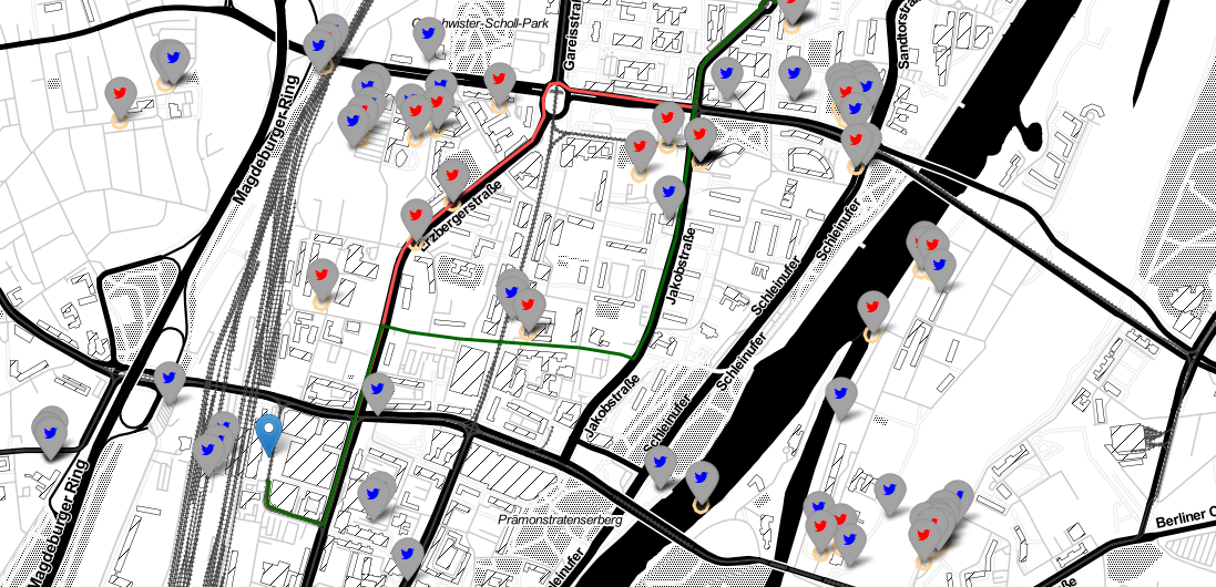
Generating Customized Pleasant Pedestrian Routes Based on OpenStreetMap Data
In a newly published open access paper, we present a system that generates customized pedestrian routes entirely based on data from OpenStreetMap (OSM). The system enables users to define to what extent they would like the route to have green … Read More
Jupyter Notebook: Combining Twitter Data and OpenRouteService Directions API
In the case of a disaster fast response is important and life saving. Information on blocked streets is crucial, but a the same time this infornations needs to be considered by routing engines in real-time. However, many routing engines use … Read More
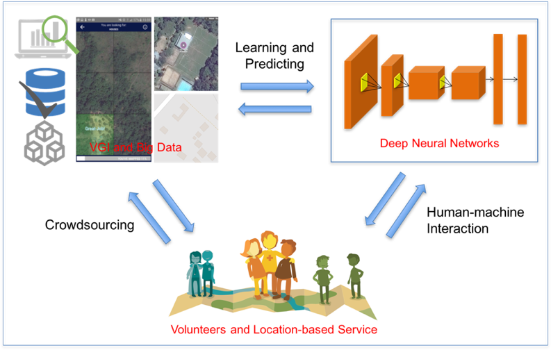
Deep Learning with Satellite Images and Volunteered Geographic Information
Recently, deep learning has been widely applied in pattern recognition with satellite images. Deep learning techniques like Convolutional Neural Network and Deep Belief Network have shown outstanding performance in detecting ground objects like buildings and roads, and the learnt deep … Read More