
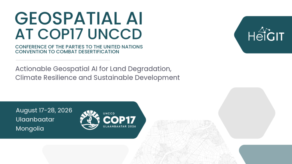
The 17th Conference of the Parties to the United Nations Convention to Combat Desertification (UNCCD COP17) is a global forum where governments, researchers, practitioners, and international organizations come together to address land degradation, desertification, and drought. Held under the theme „Our Land. Our Future.“, UNCCD COP17 provides a platform to advance sustainable land management, strengthen climate resilience, and promote innovative solutions that support the Sustainable Development Goals. HeiGIT will contribute to the conference by showcasing how geospatial AI, Earth observation, and open geospatial data can provide actionable insights for environmental monitoring and evidence-based decision-making. Through presentations and discussions, our team will demonstrate how open science and collaborative digital solutions can help bridge the gap between scientific research and policy, supporting more effective responses to land degradation and climate change.
Session: Actionable Geospatial AI for Land Degradation, Climate Resilience and Sustainable Development, Aug 17th 16- 17:30
Presenters: Sukanya Randhawa, Sebastián Block, Kirsten von Elverfeldt
Effective responses to land degradation and climate change require timely, reliable, and actionable information. Recent advances in geospatial AI, Earth observation, and open science are transforming how countries monitor environmental change, assess risks, and support evidence-based policy and planning. However, the true value of these technologies lies not only in developing innovative tools, but in ensuring they generate actionable insights that directly inform decision-making and strengthen resilience on the ground.
This session will showcase how geospatial AI can support sustainable land management, with a particular focus on Mongolia’s challenges and opportunities. Through presentations and a panel discussion, participants will explore practical applications of geospatial AI for monitoring land degradation, innovative approaches to transforming Earth observation data into actionable information for policymakers and practitioners, and the role of open science, open data, and collaborative digital platforms in accelerating climate action. The programme will include an overview of geospatial AI methodologies and decision-support products developed for Mongolia, a presentation of the HeiGIT Climate Action Portal and its open geospatial data and AI tools, and a discussion on translating scientific innovation into policy and practice. Bringing together researchers, policymakers, practitioners, project partners, and local stakeholders, the session aims to foster collaboration on scaling AI-enabled decision support, integrating local knowledge with AI-driven environmental monitoring, and building partnerships that advance sustainable land management and climate resilience. Ultimately, the session will demonstrate how geospatial AI can move beyond technological innovation to become a practical decision-support tool, highlighting pathways for translating open geospatial data and AI into tangible environmental and societal outcomes.