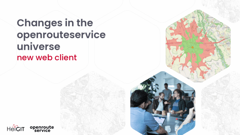
Our new openrouteservice web client is now online at routing.heigit.org….
Ende August hat unser Kollege die technische Konzeption der Schulung…
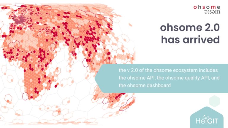
We have recently released the version 2.0 of the ohsome…
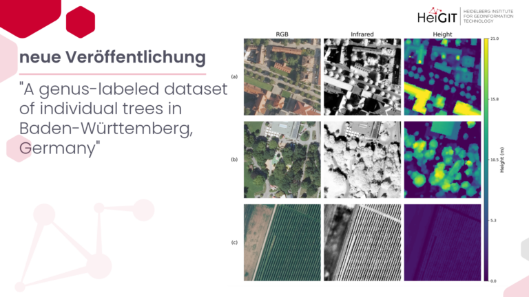
Bäume in besiedelten Gebieten werden zunehmend als wichtige Indikatoren für…
We are announcing the major release of openrouteservice with version…
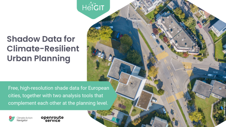
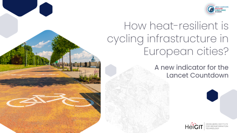
A new indicator for the Lancet Countdown In Europe, cities…