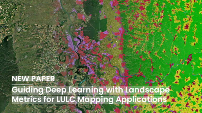
Deep Learning (DL) has become a core methodological pillar in remote sensing and GeoAI, enabling large-scale applications such as Land Use Land Cover (LULC) mapping, object detection, and spatiotemporal prediction….
The new ohsome quality API (OQAPI) country reports are a meta-dataset designed to provide an overview of whether OpenStreetMap (OSM) data quality for a country or region of interest is…
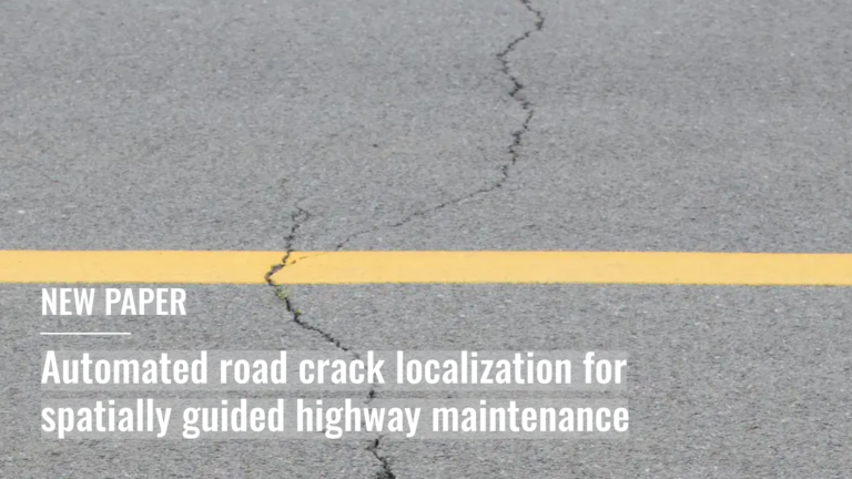
Leveraging openly available airborne imagery this study presents a scalable framework for automated road pavement crack detection for spatially guided highway-maintenance….
The article is based on the talk Benjamin Herfort (HeiGIT) and Benjamin Würzler (Bundesamt für Kartographie und Geodäsie) presented at FOSSGIS 2026 in Göttingen….
The new OpenAccessLens platform provides open, global data on accessibility to healthcare and education. Built on OpenStreetMap data and openrouteservice modeling, it can support accessibility research, humanitarian work, public health…
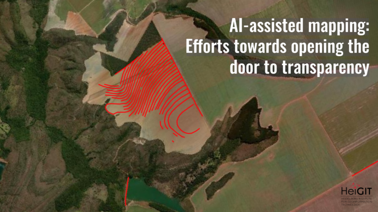
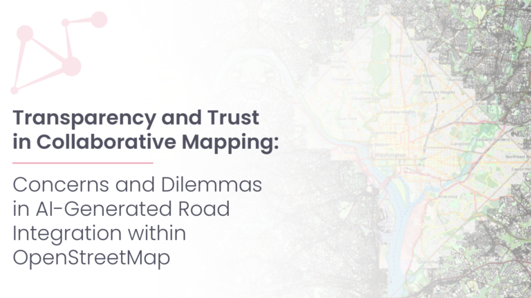
What role does the human-in-the-loop play in AI-assisted mapping? AI-assisted mapping is rapidly changing how geospatial data is created, enabling features to be generated at a scale and speed that…
neuer globaler Datensatz zeigt Lücken beim Zugang zu Bildungseinrichtungen und der Gesundheitsversorgung auf Zahlen allein erzählen selten die ganze Geschichte – etwa darüber, ob ein Kind zur Schule geht oder…
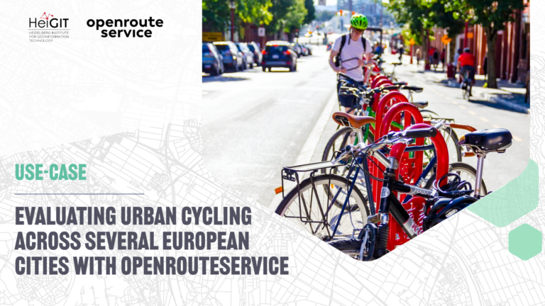
The study introduces a BIKE Index, a multi-dimensional framework for evaluating urban cycling conditions across cities. Built entirely on open datasets and open tools such as openrouteservice, the index provides…
Automatically generated map data has become far more common, reducing the amount of direct human involvement. AI-assisted mapping, where human validation refines machine-generated output, is increasingly used to update crowdsourced…
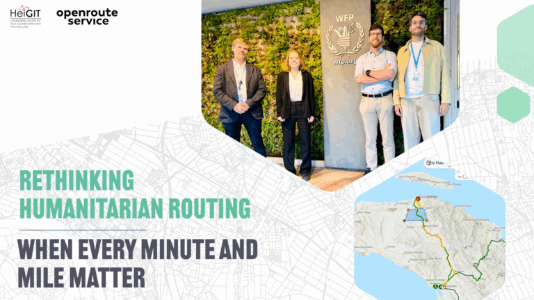
In humanitarian emergencies, delivering relief in time is key. Every minute and every mile matter to deliver aid to those who need it the most. Optimized routing can save lives,…
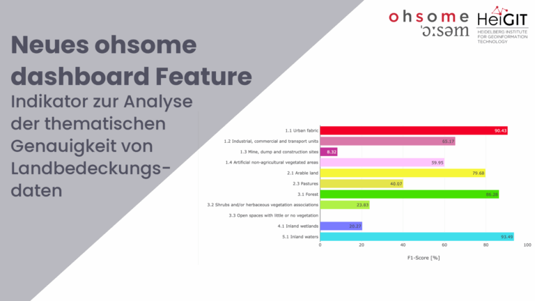
Zusammen mit dem deutschen Bundesamt für Kartographie und Geodäsie (BKG) haben wir eine neue Version des ohsome-Dashboards veröffentlicht, mit der wir einen neuen Indikator zur Analyse der thematischen Genauigkeit von…
Das ENHANCE Projekt untersucht mit Hilfe von Kartierung, Verhaltensforschung und Simulationswerkzeugen, wie das Konzept der 15-Minuten-Stadt auch über Metropolregionen hinaus Anwendung finden kann. Somit soll die Entwicklung von nachhaltigeren und…
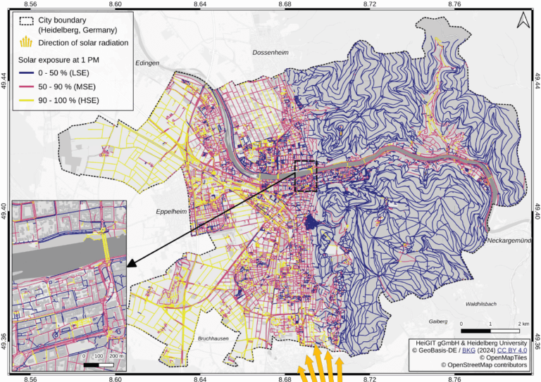
Using Heidelberg as a case study, researchers modeled time-dependent solar exposure for the entire pedestrian network by combining high-resolution DEM/DSM building and vegetation data with OpenStreetMap road data. Adapting to…
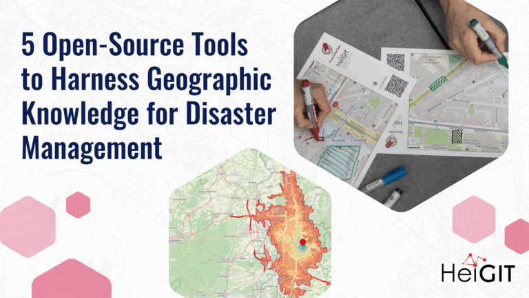
Volunteered Geographic Information (VGI) is a valuable resource for an effective disaster management. This article presents five free tools to enhance humanitarian work using VGI. What is VGI and why…
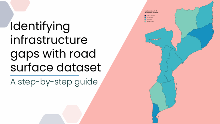
This blog post introduces a step-by-step tutorial for working with a global road surface dataset. Using open-source tools, the tutorial demonstrates how to identify infrastructure gaps by combining road surface…
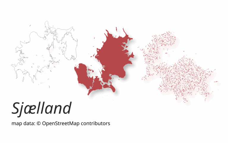
A new version of ohsome-planet (codename “Sjælland”) has been released. It is the newest version of HeiGIT´s command line tool, which transforms OpenStreetMap (history) PBF files into into an analysis-ready…
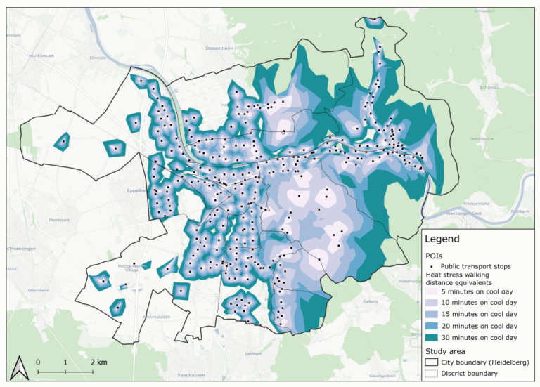
This study introduces the isocalor approach to assess how solar exposure and heat stress impact pedestrian access to essential services in Heidelberg, using OpenStreetMap data and a customized openrouteservice routing…
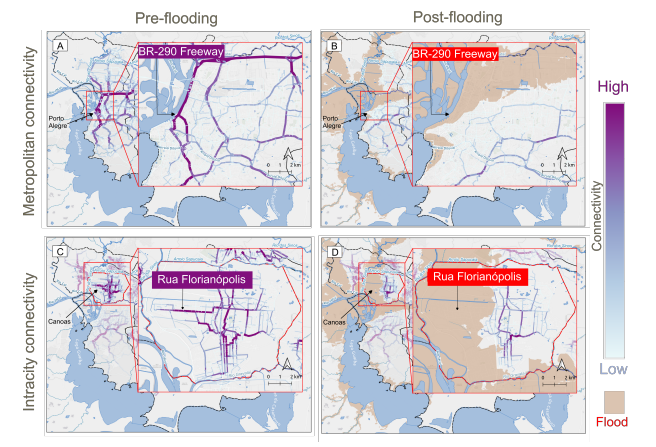
This study examines the resilience of urban infrastructure, with a focus on road network connectivity and redundancy in the face of extreme weather events. Using OpenStreetMap (OSM) data and the…
Das Projekt untersucht, wie OpenStreetMap-Daten Satellitenbilder bei der Nachverfolgung von Veränderungen der Landbedeckung in Deutschland ergänzen können. In einem kleinen Testgebiet vergleichen wir Datensätze über eine längere Zeitspanne hinweg, um…
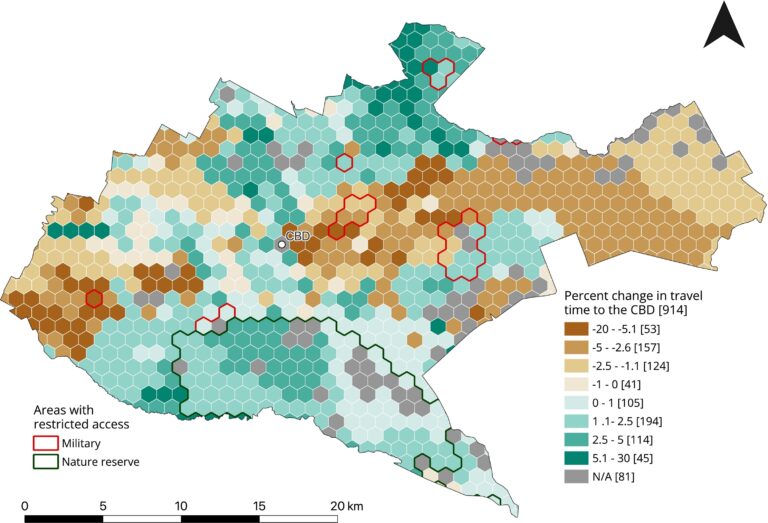
This study, published at African Transport Studies, investigates the impact of school sessions on traffic congestion in Nairobi, highlighting how children’s mobility needs are often overlooked in transport planning. The…