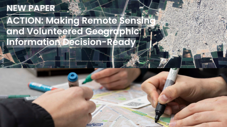
In a new perspective paper, the authors argue that geospatial decision-making suffers from a lack of workflows in which remote sensing (RS) and volunteered geographic information (VGI) meet before a…
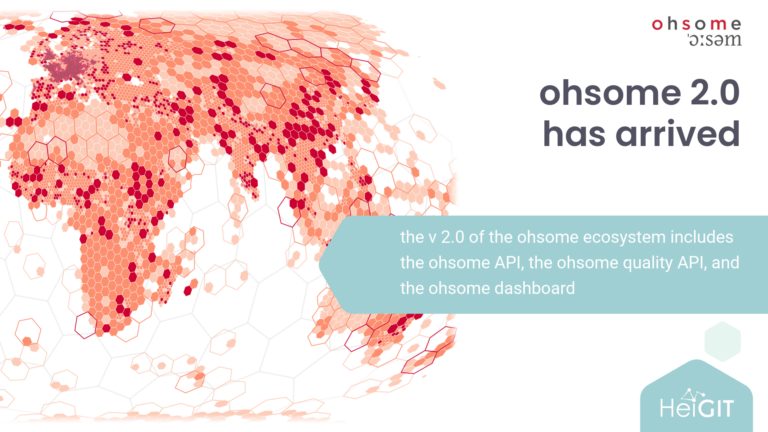
We have recently released the version 2.0 of the ohsome ecosystem, which includes the ohsome API, the ohsome quality API, and the ohsome dashboard. The legacy ohsome API v1 and…
We are announcing the major release of openrouteservice with version 10.0.0 also known as Amalthea. This release focuses mostly on our technical foundation. It upgrades Java and Spring Boot, reduces…
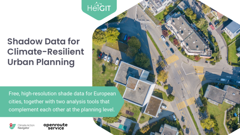
Free, high-resolution shade data for European cities, together with two analysis tools that complement each other at the planning level. With our tools we want to support local governments and…
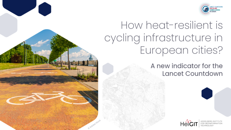
A new indicator for the Lancet Countdown In Europe, cities are center stage for climate action. With three-quarters of the continent’s population and a majority of both energy demand and…
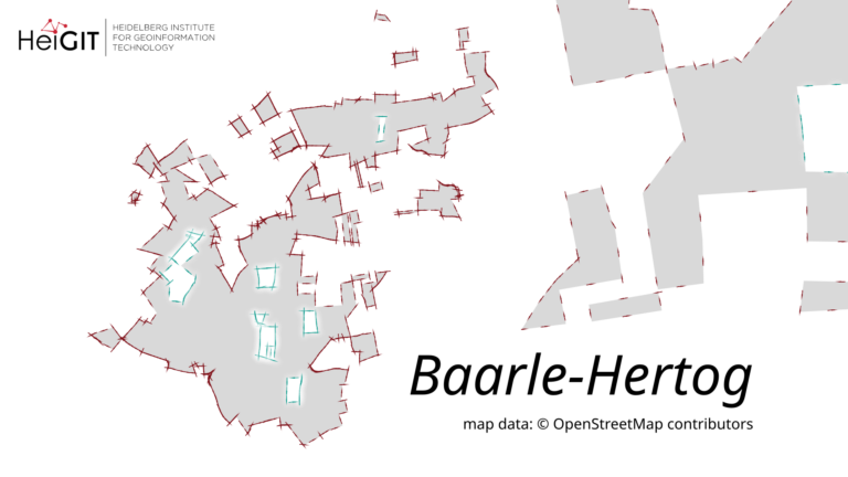
We are releasing version 1.3.1 of ohsome-planet under the codename “Baarle-Hertog”. This tool is designed to facilitate the transformation of raw OpenStreetMap (OSM) history data into the GeoParquet format, making…
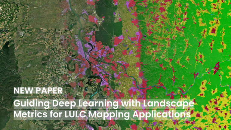
Deep Learning (DL) has become a core methodological pillar in remote sensing and GeoAI, enabling large-scale applications such as Land Use Land Cover (LULC) mapping, object detection, and spatiotemporal prediction….
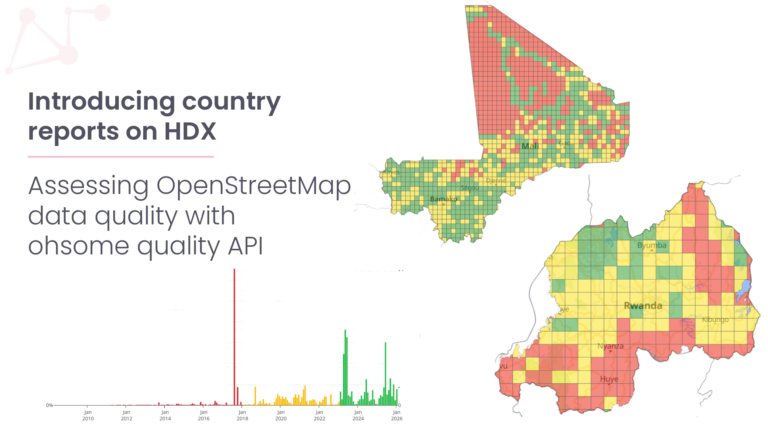
The new ohsome quality API (OQAPI) country reports are a meta-dataset designed to provide an overview of whether OpenStreetMap (OSM) data quality for a country or region of interest is…
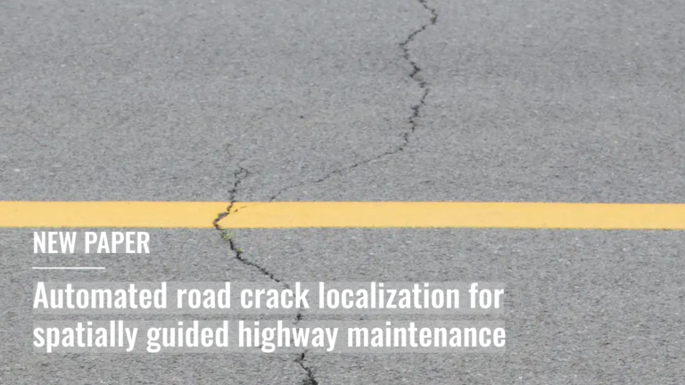
Leveraging openly available airborne imagery this study presents a scalable framework for automated road pavement crack detection for spatially guided highway-maintenance….
The article is based on the talk Benjamin Herfort (HeiGIT) and Benjamin Würzler (Bundesamt für Kartographie und Geodäsie) presented at FOSSGIS 2026 in Göttingen….
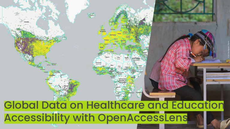
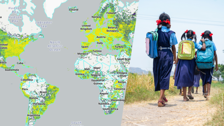
The new OpenAccessLens platform provides open, global data on accessibility to healthcare and education. Built on OpenStreetMap data and openrouteservice modeling, it can support accessibility research, humanitarian work, public health…
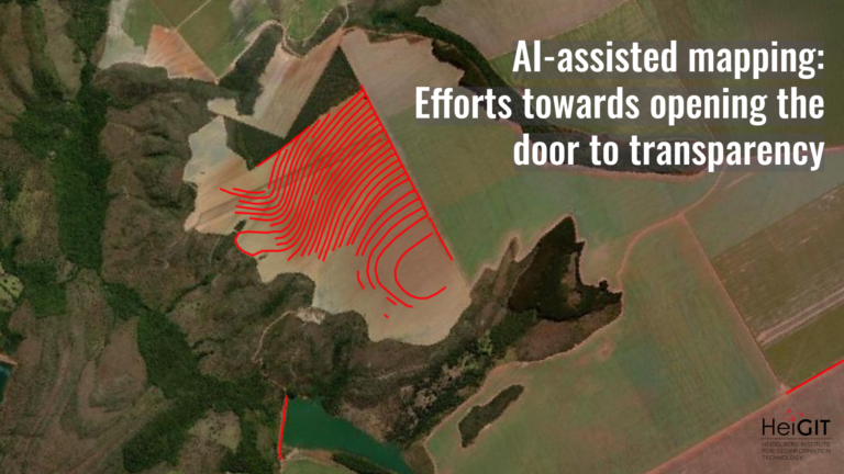
What role does the human-in-the-loop play in AI-assisted mapping? AI-assisted mapping is rapidly changing how geospatial data is created, enabling features to be generated at a scale and speed that…
Numbers alone do not show whether a child can reach school or a patient access medical care in time. This is where maps add context, helping to make sense of…
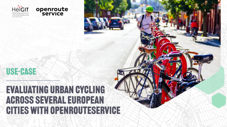
The study introduces a BIKE Index, a multi-dimensional framework for evaluating urban cycling conditions across cities. Built entirely on open datasets and open tools such as openrouteservice, the index provides…
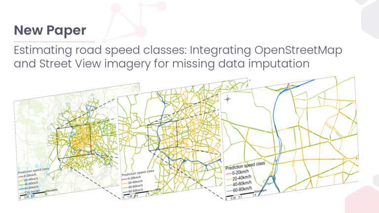
This study presents an environment-driven, open-data approach to infer and spatially complete urban traffic speed classes at the citywide scale. As cities grow and urban mobility demands intensify, accurately forecasting…
Automatically generated map data has become far more common, reducing the amount of direct human involvement. AI-assisted mapping, where human validation refines machine-generated output, is increasingly used to update crowdsourced…
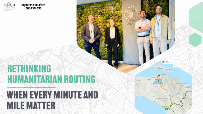
In humanitarian emergencies, delivering relief in time is key. Every minute and every mile matter to deliver aid to those who need it the most. Optimized routing can save lives,…
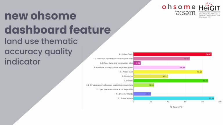
Together with the German Federal Agency for Cartography and Geodesy (BKG) we released a new version of the ohsome dashboard, introducing a new indicator for assessing the thematic accuracy of…
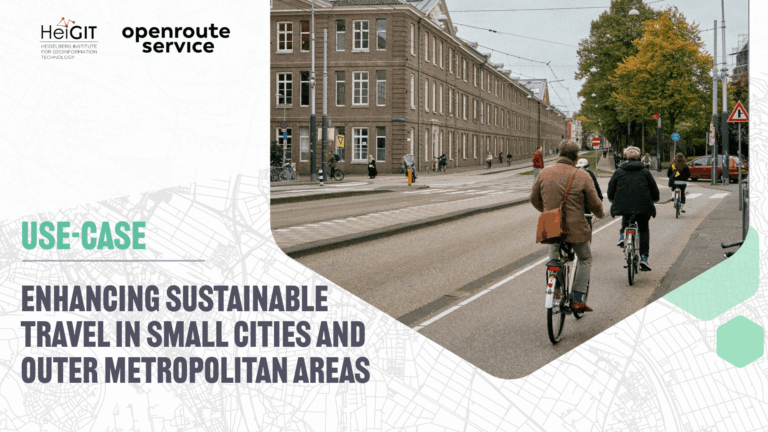
The ENHANCE project explores how 15-minute city principles can be applied beyond dense urban hubs, using mapping, behavioral research, and simulation tools to design more sustainable and inclusive mobility systems….
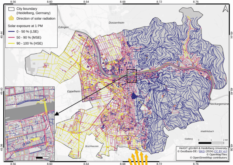
Using Heidelberg as a case study, researchers modeled time-dependent solar exposure for the entire pedestrian network by combining high-resolution DEM/DSM building and vegetation data with OpenStreetMap road data. Adapting to…