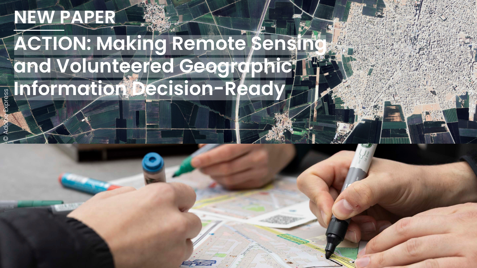
A new paper in Transactions in GIS asks whether combining remote sensing (RS) and volunteered geographic information (VGI) actually changes decisions. It forms the application and decision layer between two companion papers: a technical one on raster–vector representation learning and a normative one on principles for responsible planetary AI.
Satellite radar can map a flood within hours, but it cannot tell which buildings are homes, which roads are passable, or which health facility still works. That knowledge often exists in OpenStreetMap (OSM), street-level imagery and residents’ reports, yet it rarely reaches the same workflow as the satellite data. In our new paper we argue that what is missing is not data but workflows in which remote sensing (RS) and volunteered geographic information (VGI) meet before a decision is made.
Where ACTION fits
Technical layer: how can raster and vector data be represented together? Spatial Representation Learning Beyond Pixels (Knoblauch et al. 2026) calls for geospatial foundation models that learn imagery and vector data in one shared embedding space, rather than bridging them through lossy conversions such as rasterization.
Normative layer: under which conditions may such systems be built? A Data–Model–Principles framework led by Pedram Ghamisi (under review) sets out principles, such as equitable representation and participatory data governance, that planetary-scale AI should meet, however accurate it is.
Application and decision layer: does the result change a decision? ACTION asks whether an integrated RS–VGI product arrives in time, at the granularity of the intervention, and with enough traceability for an accountable person to act on it. As we put it, “A workflow can be representatively elegant and normatively compliant while changing nothing.”
Measurement meets testimony
The paper’s central distinction is between two classes of evidence. RS supplies measurement: calibrated estimates of physical properties, with quantified uncertainty but no local meaning. VGI supplies testimony: claims from people who were there, rich in meaning but without quantified uncertainty. Three consequences follow.
First, combining them is a judgment about evidence, not a preprocessing step. A radar image shows water at one moment; a resident reports that a road floods most years. If the reconciliation rule stays implicit, an early threshold or majority vote decides out of sight.
Second, disagreement between the sources is an output, not an error to minimize. A building in the imagery but missing from the map signals a mapping gap or new construction; a mapped building no longer visible may mean demolition or destruction. We propose publishing these mismatches as discrepancy layers alongside fused products, to direct mapping effort and flag physical change.
Third, the binding constraint on deeper integration is provenance at the level of individual assertions, not model capacity. An OSM tag records a claim, but not the contributor’s confidence, evidence or observation date, nor whether a person, a bulk import or an AI-assisted tool made it. We call for a lightweight, community-agreed provenance convention that survives ingestion into training pipelines.
Six conditions: ACTION
The paper condenses its argument into six conditions, stated as properties a deployed workflow either has or lacks:
- Actionable: the decision, who takes it and by when are set before a method is chosen, and results come at the scale people act on.
- Complementary: the workflow states what each source adds that the other cannot, and how conflicts between them are resolved.
- Transparent: provenance is kept intact, so an outsider can trace each input and how it was produced.
- Integrated: the sources inform each other during inference, not only when results are interpreted.
- Open: data, code and models are shared on terms that benefit contributing communities, with disclosure risks assessed rather than ignored.
- Navigable: intended users can explore the output and its uncertainty without the authors’ help.
Because the conditions trade off against each other, a workflow should state which it prioritized rather than claim all six. The first steps need no new method: publish disagreement rules and discrepancy layers, and agree on a minimal provenance convention that survives export.
References
Knoblauch, S., Li, H., Li, W., Ghamisi, P., Herfort, B. and Zipf, A. (2026), ACTION: Making Remote Sensing and Volunteered Geographic Information Decision-Ready. Transactions in GIS, 30: e70415. https://doi.org/10.1111/tgis.70415
Companion papers:
- Technical layer: Knoblauch, S., Li, H., Mai, G., Klemmer, K., Gao, S., and Li, W. (2026), Spatial Representation Learning Beyond Pixels: Unifying Raster Data and Vector Semantics for Human-Centric Geospatial Foundation Models. arXiv:2606.02374.
 Spatial Representation Learning Beyond Pixels: Unifying Raster…
 - Normative layer: Ghamisi, P., Rizaldy, A., Rafiezadeh Shahi, K., Kuglitsch; M., Otero, N., Knoblauch, S., Masters, P., Schroeder, A., Lamb, R., and Atkinson, P. (2026), A Data–Model–Principles Framework for Responsible Planetary Intelligence. Manuscript under review.