Transforming Geospatial Data into Actionable Solutions
To bridge the gap between fundamental geoinformatics research and practical applications, we apply a range of geospatial technologies to address societal and environmental challenges. Central to our approach is the enrichment and analysis of OpenStreetMap (OSM) data. Our methods integrate advanced techniques, community engagement, and research to create practical, data-driven solutions.
democratizing access to geoinformation
Open-source Applications and Datasets
We develop open-source services that democratize access to geoinformation, allowing researchers, practitioners, and communities to gather and analyze data. We also offer free access to our resources for humanitarian, academic, governmental, and non-profit organizations to support data-driven decision-making.
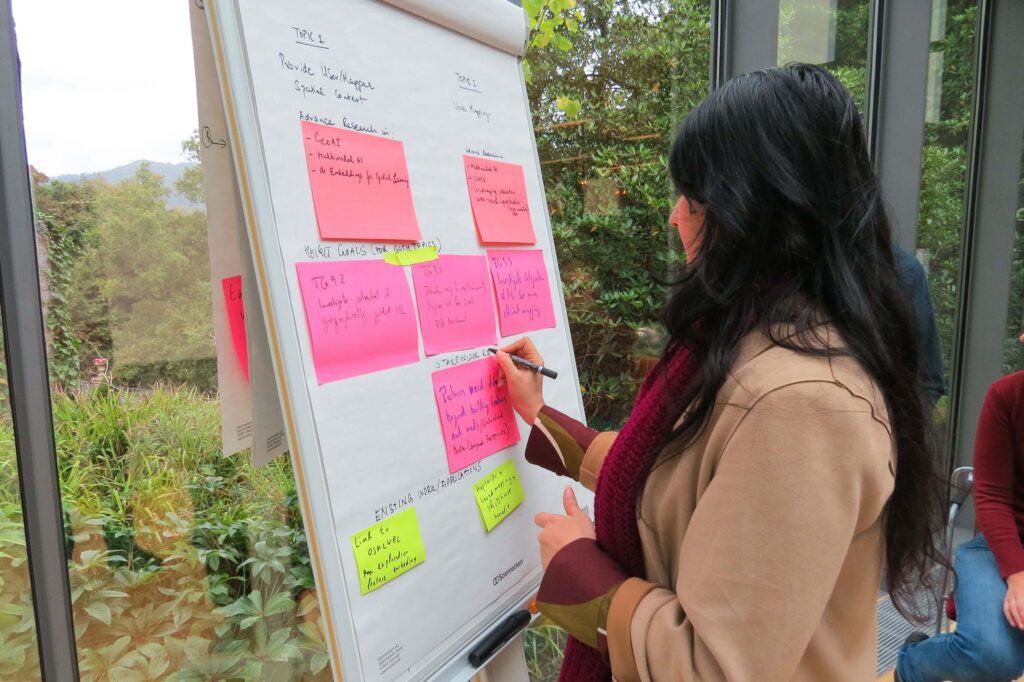
Innovation Through Research and Collaboration
Research
Research forms the basis of our methodologies, ensuring that our technologies are grounded in the latest scientific advancements. Close collaboration with the GIScience Research Group at Heidelberg University and other research partners strengthen our ability to innovate and apply the latest findings in geoinformatics.
Transforming OSM Data into Real-Time Insights
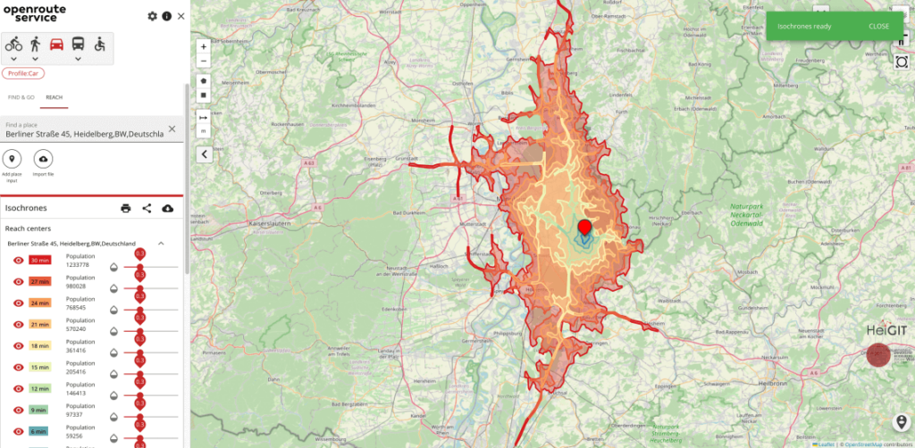
Data Analytics and Insights
We enrich OpenStreetMap (OSM) data and other open geospatial datasets, transforming them into actionable insights. By offering real-time updates and assessing data quality, we empower users to track OSM data changes and ensure its suitability for specific applications. Our services help humanitarian organizations, researchers, and public sector partners create data-driven solutions and make informed decisions with confidence.
Empowering Communities with Proactive Solutions
Knowledge Transfer
We provide technical support for anticipatory action strategies to help mitigate the impacts of extreme events before they occur. We prioritize capacity building and knowledge transfer, ensuring that local communities can independently sustain and implement anticipatory measures.
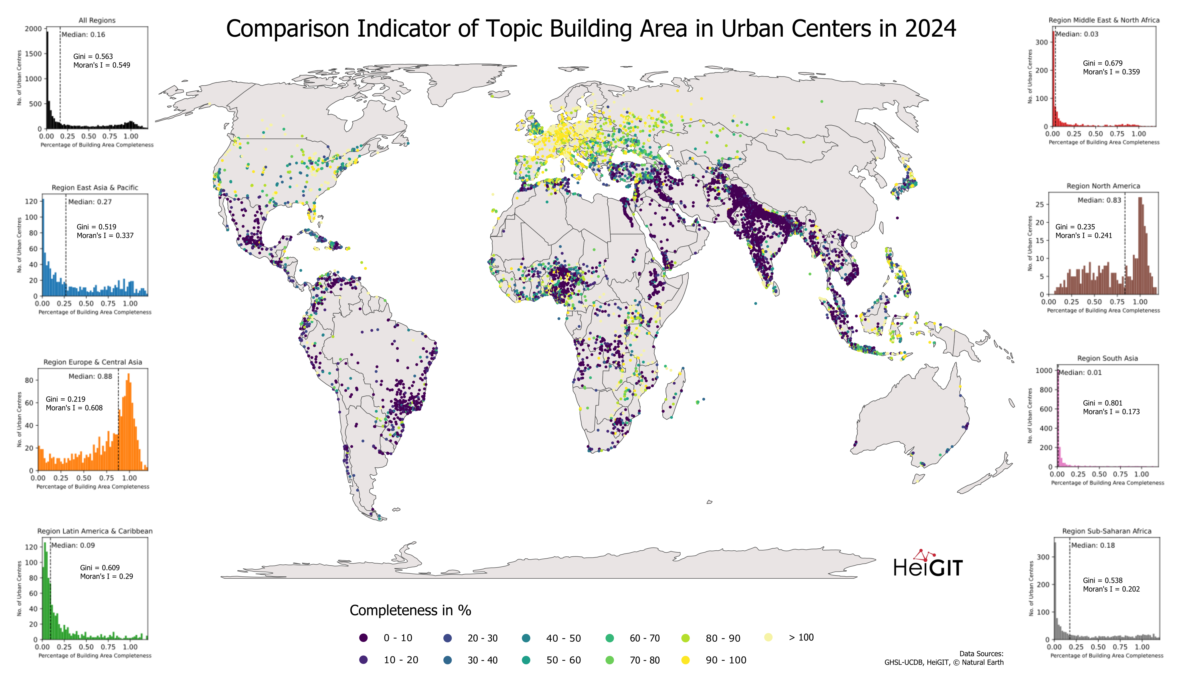
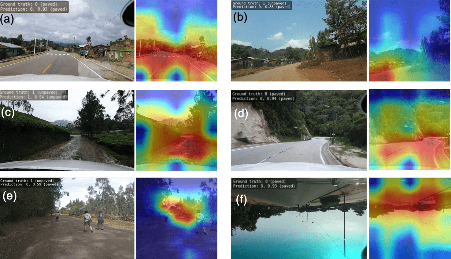
AI for Smarter Geospatial Solutions
GeoAI and Machine Learning
We integrate artificial intelligence methodologies into geospatial research to generate vast and complex datasets. From identifying critical infrastructure to analyzing road conditions, these insights are invaluable for decision-making in areas like disaster management, infrastructure planning, and environmental monitoring.
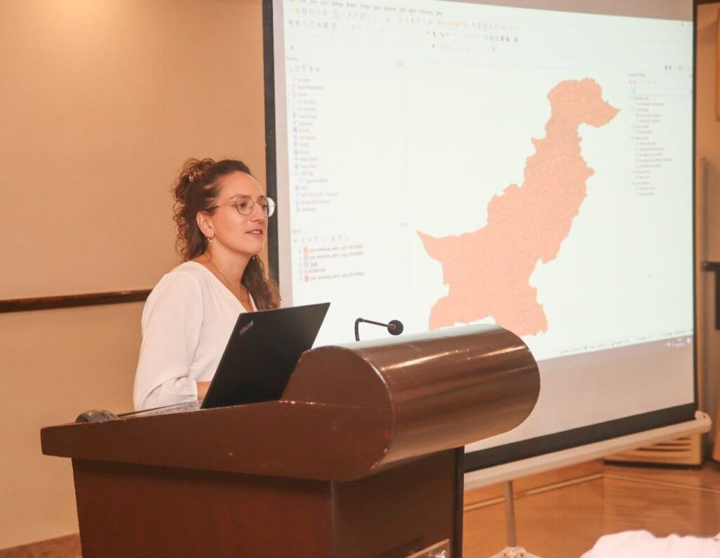
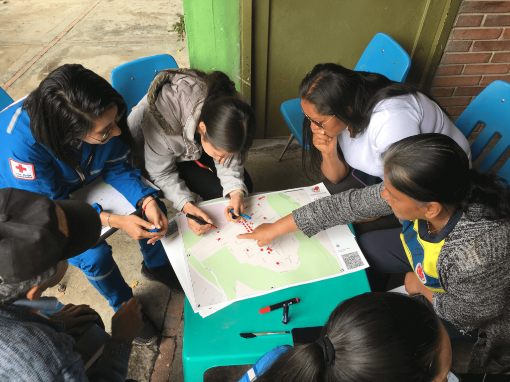
Community Collaboration
Local Knowledge and Community Engagement
By incorporating community contributions, we enhance data accuracy and completeness. This approach is crucial for gaining a deeper understanding of the local context, enabling us to develop solutions that are not only technically robust but also contextually relevant. It is especially valuable in rapidly changing environments, regions with limited access to traditional data sources, or for minimizing bias in machine learning.