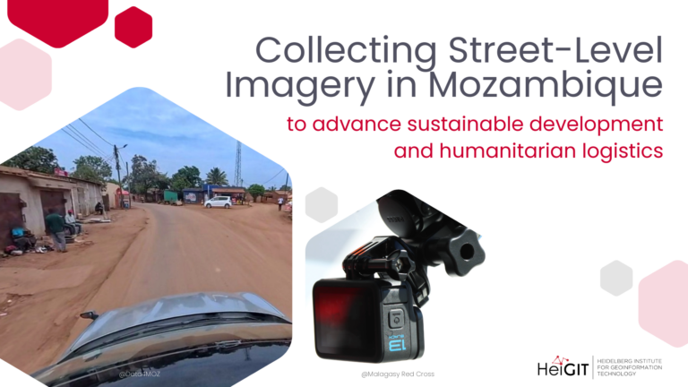
HeiGIT and Data4MOZ have launched a collaboration to collect street-level imagery in Mozambique, combining local field expertise with geospatial capacity to advance technologies for humanitarian logistics and actionable data for…
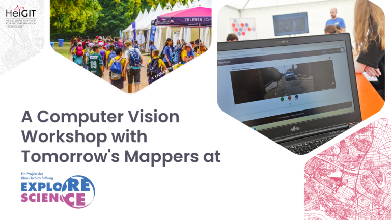
At Explore Science 2026, young students experimented with computer vision for humanitarian mapping: an occasion to learn how AI models are trained and why human input remains essential for generating…
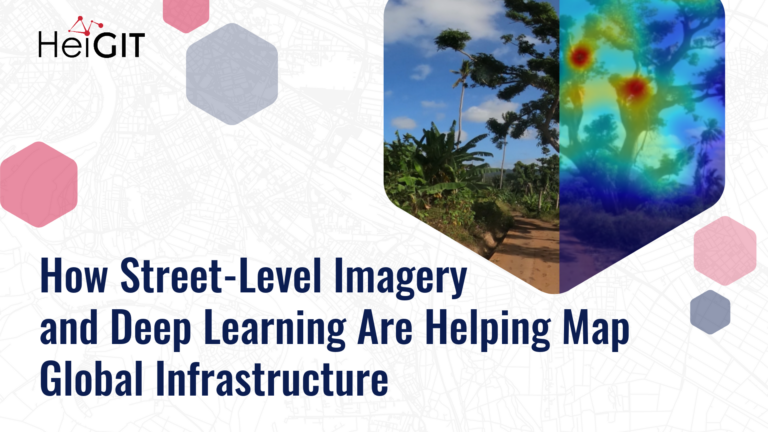
Street-level imagery combined with deep learning methods is transforming how we detect and map critical infrastructure characteristics that are often missing from existing datasets. Applications range from road surface classification…
This blog article was originally posted on Medium by Maciej Adamiak, machine learning expert at HeiGIT. It’s very easy to take many things around us for granted, especially when you live…
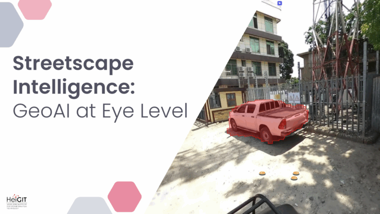
Crowdsourced street-level imagery can be used to detect and map humanitarian-relevant features in near real time. We have developed a machine-learning-based analytical pipeline that integrates with the open-source imagery catalogue…