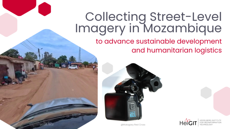
HeiGIT and Data4MOZ have launched a collaboration to collect street-level imagery in Mozambique, combining local field expertise with geospatial capacity to advance technologies for humanitarian logistics and actionable data for…
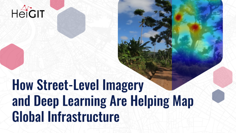
Street-level imagery combined with deep learning methods is transforming how we detect and map critical infrastructure characteristics that are often missing from existing datasets. Applications range from road surface classification…
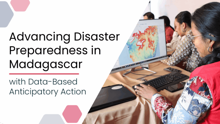
Anticipatory Action (AA) is becoming an increasingly vital approach in humanitarian and disaster risk management. By leveraging forecasts and risk data, AA enables timely interventions before extreme events occur. Geoinformation…