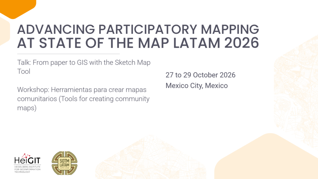
State of the Map Latam 2026 will take place from 27 to 29 October 2026 in Mexico City, Mexico. The conference brings together mappers, developers, researchers, and OpenStreetMap enthusiasts to share experiences, learn from each other, and explore new approaches to open mapping. HeiGIT will contribute with a talk by Anne Schauss on the Sketch Map Tool and a hands-on workshop organized together with UBDC, UNGRD, HOT, and UN Mappers. Both contributions will focus on how accessible, open-source tools can support participatory mapping and community-driven geographic data generation.
Talk: From paper to GIS with the Sketch Map Tool
2026-10-27 15:30–16:00 22:30-23:00 (Europe/Berlin), Salon Charlas Comunitarias / Paneles 1
Speaker: Anne Schauss
In an era of massive top-down data production and dominant AI models, supporting bottom-up data generation has never been more critical. The Sketch Map Tool (SMT) bridges the gap between community-based knowledge and formal data ecosystems.
Developed as an accessible, open-source application for participatory mapping, SMT allows users to draw directly onto printed paper maps using pens. Users can choose from a variety of basemaps, including OpenStreetMap, satellite imagery, or custom layers. They can then photograph or scan the marked maps and process them through the SMT platform to download GIS-compatible files.
By blending digital processing with paper maps, SMT lowers technical barriers, enhances accessibility, and enables collaborative mapping even in offline environments. The tool also connects with the ohsome dashboard to provide insights into local OpenStreetMap data quality and integrates OpenAerialMap to support the use of custom imagery.
In this talk, we will present the current version of the Sketch Map Tool, its technical workflows, and its future vision. We will also share experiences with the challenges of developing and maintaining open-source tools in a user-centric way, ensuring the software continues to evolve while remaining accessible to the communities it was built to empower.
The talk will be delivered in Spanish.
Workshop: Herramientas para crear mapas comunitarios (Tools for creating community maps)
2026-10-29 15:00–17:00 22:00-00:00 (Europe/Berlin), Sala Talleres
Organized by HeiGIT, UBDC, UNGRD, HOT, and UN Mappers
Speakers: Anne Schauss, Diego Pajarito Grajales, Juan Arellano
How can we ensure that local knowledge becomes part of information ecosystems, with communities as authors of their own geographic data rather than just passive sources?
This workshop will explore how communities can take a more active role in creating their own geographic information. Participants will learn how accessible, open-source tools can help generate data that can be integrated into existing information systems and support informed decision-making that considers community perspectives.
During the two-hour hands-on session, participants will explore two complementary tools for community mapping. ChatMap allows users to share locations, photos, and descriptions in real time through messaging, while the Sketch Map Tool allows participants to draw areas representing their perceptions of a place on printed OpenStreetMap-based maps. These drawings are then automatically digitized and georeferenced.
By combining both tools, participants can connect collective perceptions of a place with photographic evidence collected on the ground, creating a richer geographic dataset that supports community co-authorship.
By the end of the workshop, participants will have integrated and visualized information collected through chat and hand-drawn sketches on a single map. The session will conclude with a discussion on how these workflows can turn local knowledge into geographic data ready for open data platforms, while ensuring that community perspectives are heard.