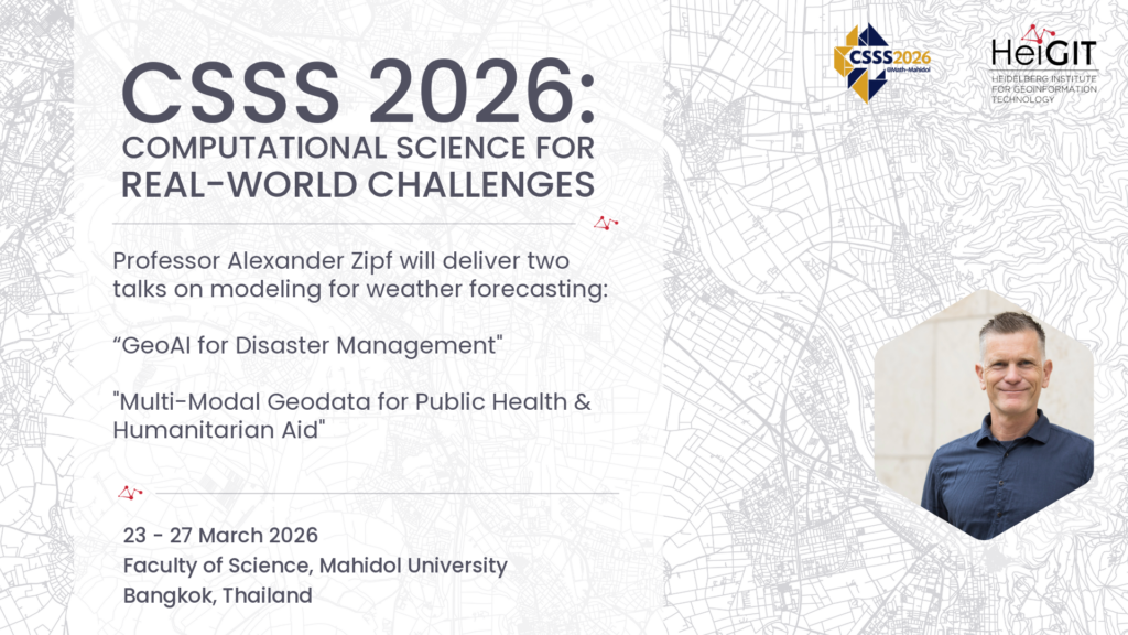
The Computational Science Summer School (CSSS 2026) will take place from March 16–27, 2026, at Mahidol University in Bangkok, Thailand. This year’s theme, “Mathematical Modelling in Finance, Medical Science, and Weather Forecast,” brings together researchers, students, and practitioners to explore computational approaches to real-world challenges.
The program features lectures, hands-on sessions, and collaborative activities led by international experts. Among the invited speakers is professor Alexander Zipf, who will deliver two talks contributing to the interdisciplinary focus of the school.
This event is organized in partnership with the Interdisciplinary Research Center for Scientific Computing (IWR) at Heidelberg University, Germany, the Center of Excellence in Data Science and Health Sciences at Walailak University, the Center of Excellence in Mathematics at Mahidol University, and a network of leading Thai universities, including Chulalongkorn University, Chiang Mai University, King Mongkut’s University of Technology North Bangkok, King Mongkut’s University of Technology Thonburi, Prince of Songkla University (Pattani Campus) and Silpakorn University
Talk: “GeoAI for Disaster Management“
24 March; 15:45-16:45
Room M202, M Building; Faculty of Science, Mahidol University, Bangkok
This talk examines the role of GeoAI—the integration of geospatial data with artificial intelligence—in disaster management. Leveraging advances in machine learning, computer vision, and spatial modeling, we develop methods for analyzing remote sensing data like satellite imagery and street view imagery together with further crowdsoured data and sensor streams to support disaster preparedness and response. Case studies from our work illustrate how GeoAI enables situational awareness and scalable decision support, contributing to more resilient and effective disaster management.
Talk: „Multi-Modal Geodata for Public Health & Humanitarian Aid“
25 March; 15:00-16:00
Room M202, M Building; Faculty of Science, Mahidol University, Bangkok
This talk explores the integration of multi-modal geodata—combining satellite and street view imagery, geospatial sensor data, crowdsourced geodata (aka VGI, such as OpenStreetMap), and further geographic information—to support public health interventions and humanitarian aid. We use computational methods for fusing heterogeneous data sources across geographic scales. This enables disease surveillance, risk mapping, and resource allocation in crisis settings. Selected case studies will demonstrate how multi-modal geodata analytics can improve situational awareness, enhance decision-making, and support data-driven responses to public health emergencies and humanitarian challenges.