The workshop aims to foster a intersection of computer science, Earth system science, and environmental sciences, bringing together experts who share a vision of leveraging artificial intelligence to tackle some of the planet’s most pressing challenges. Participants will exchange ideas on how advanced AI methodologies—from machine learning and deep neural networks to explainable AI and physics-informed modeling—can open new frontiers in climate prediction, environmental monitoring, and ecosystem understanding.
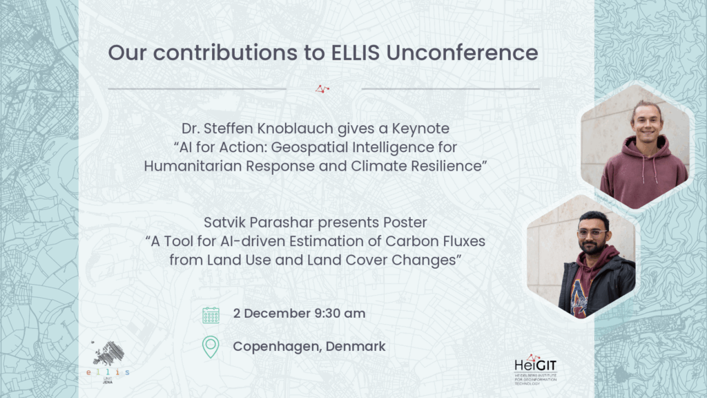
Keynote: “AI for Action: Geospatial Intelligence for Humanitarian Response and Climate Resilience” – Dr. Steffen Knoblauch
December 2, 09:30 – 10:00
Artificial intelligence has the potential to transform how we respond to climate impacts and humanitarian crises—especially when combined with Earth observation, open geospatial data, and local knowledge. This keynote will explore how AI-powered tools can support decision-making in challenging environments, from disrupted infrastructure after disasters to urban areas facing health and climate risks. Focusing on applied, real-world use cases, the talk will highlight how integrating physical models with machine learning enables more robust, interpretable, and adaptive systems—for example, in routing under disaster conditions, participatory risk mapping, or estimating exposure to climate-sensitive health risks such as vector-borne diseases. The presentation will emphasize collaboration across disciplines and sectors, showing how AI can contribute not just to understanding our changing planet, but to actively shaping more resilient futures.
Panel Discussion: “AI for Earth and Climate Sciences” – Dr. Steffen Knoblauch
December 2, 14:30 – 14:50
Poster: “Assessing Building Heat Resilience Using UAV and Street-View Imagery with Coupled Global Context Vision Transformer” – Dr. Steffen Knoblauch
December 2, 16:00-18:00 (at the poster session)
Climate change is intensifying human heat exposure, particularly in densely built urban centers of the Global South. Low-cost construction materials and high thermal-mass surfaces further exacerbate this risk. Yet scalable methods for assessing such heat-relevant building attributes remain scarce. We propose a machine learning framework that fuses openly available unmanned aerial vehicle (UAV) and street-view (SV) imagery via a coupled global context vision transformer (CGCViT) to learn heat-relevant representations of urban structures. Thermal infrared (TIR) measurements from HotSat-1 are used to quantify the relationship between building attributes and heat-associated health risks. Our dual-modality cross-view learning approach outperforms the best single-modality models by up to 9.3%, demonstrating that UAV and SV imagery provide valuable complementary perspectives on urban structures. The presence of vegetation surrounding buildings (versus no vegetation), brighter roofing (versus darker roofing), and roofing made of concrete, clay, or wood (versus metal or tarpaulin) are all significantly associated with lower HotSat-1 TIR values. Deployed across the city of Dar es Salaam, Tanzania, the proposed framework illustrates how household-level inequalities in heat exposure—often linked to socio-economic disadvantage and reflected in building materials—can be identified and addressed using machine learning. Our results point to the critical role of localized, data-driven risk assessment in shaping climate adaptation strategies that deliver equitable outcomes.
Poster: “A Tool for AI-driven Estimation of Carbon Fluxes from Land Use and Land Cover Changes” – Satvik Parashar
December 2, 16:00-18:00 (at the poster session)
Land Use and Land Cover (LULC) change is a major source of greenhouse gas emissions, yet current carbon flux estimates are limited by coarse spatial resolution, infrequent updates, and static outputs that are difficult to use for stakeholders.
In this poster, we present a web-based tool developed by the Climate Action team at HeiGIT that provides high-resolution, interactive carbon flux estimation from LULC change. Users select an area, time range, and model, which are processed by an AI system combining deep learning model for classification and a bookkeeping approach for carbon stock estimation. Results are visualized as maps, tables, and plots to support informed decision-making for emission reduction.
The tool is already online and ready to use at Climate Action Navigator – Urban Climate Assessment Tools