Municipal solid waste management (SWM) in many low-income cities remains inadequate, with underserved neighborhoods bearing the greatest burden. Limited collection points, inefficient routing of collection vehicles, irregular service schedules, and a lack of accessibility maps constrain municipal systems. As a result, residents frequently resort to unsafe disposal methods such as open burning or illegal dumping.
These practices increase greenhouse gas emissions, contaminate the environment, and pose public health risks. To create sustainable urban environments it is therefore important to improve the efficiency and coverage of waste collection services. Spatial analysis tools such as GIS can support better planning of waste collection systems.
Building GIS capacity for waste management
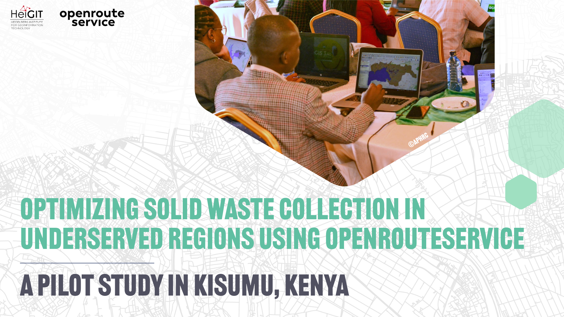
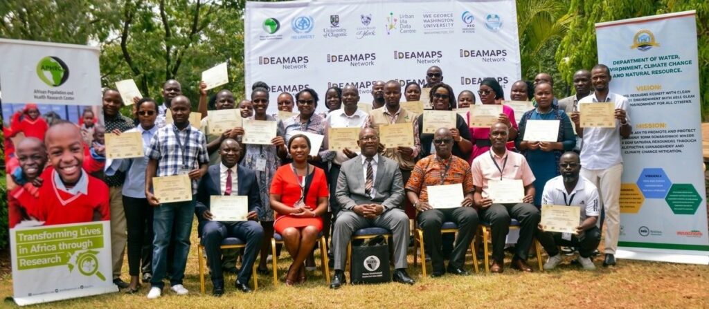
As part of this effort, the African Population and Health Research Center (APHRC) conducted a series of trainings for environmental officers on the use of GIS tools. APHRC is one of Africa’s leading research institutions focusing on population health and wellbeing, and has undertaken several initiatives exploring the relationship between waste management, environmental sustainability, and public health.
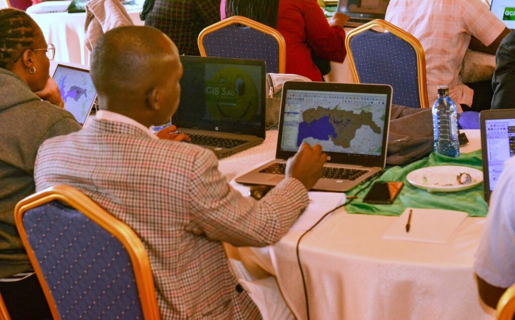
The training program was designed to strengthen the capacity of local environmental officers to apply spatial analysis in waste management planning. Workshops were held in Kisumu and Nairobi, with an additional training planned in Mombasa County. Each training lasted one week and introduced participants to GIS concepts and tools including QGIS, openrouteservice, and Datawrapper. Participants learned how to identify waste accumulation hotspots, analyze accessibility to waste collection infrastructure, and support planning of collection routes.
Applying openrouteservice for waste collection planning
The training focused on practical applications of openrouteservice through the ORS Tools plugin for QGIS. Participants learned how to perform routing and network analyses relevant to waste collection.
Exercises included:
- calculating and optimizing waste collection routes
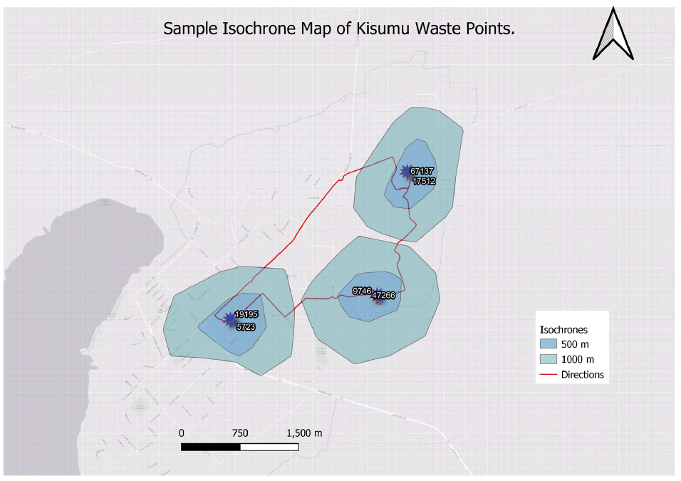
- generating isochrone maps of waste points
- using the matrix tool to estimate travel times between waste collection points, transfer stations, and disposal sites
These tools help planners assess service coverage and identify areas where waste collection infrastructure is difficult to reach.
In waste management, ORS can support more efficient collection by identifying optimized routes for vehicles. This can reduce fuel use, operational costs, and emissions while improving service reliability.
Isochrone analyses complement this approach by showing areas that can be reached within a defined travel time or distance. This helps evaluate access to waste collection points and identify communities where additional infrastructure may be needed.
After the training, staff within the environment department in Kisumu and Nairobi were able to independently perform spatial decision analysis without external consultants or expensive software. The routing analysis enabled a faster, more coordinated response to gaps in emergency and public services. The teams can now prioritize underserved wards and improve equitable service delivery. The training provided a strong foundation for Kisumu County, coming at a timely moment as the skills acquired directly supported planning for the upcoming fiscal year.
From pilot study to scalable solutions
Following the training phase, the project will refine spatial waste management data for the study area and promote transparency through public spatial visualizations and contributions to OpenStreetMap. Where possible, additional traffic information from sources such as Google Maps will be used to better approximate travel conditions and improve travel time estimates.
The initiative aims to support the development of a community-inclusive waste collection system in Mombasa County. The project seeks to strengthen coordination between households, community-based organizations, and municipal waste teams. A planned mobile application with a “pick-up request” feature will allow residents to report waste collection needs and improve communication between stakeholders.
The study will produce spatial accessibility maps, identify service gaps, and develop optimized waste collection routes using network analysis. These outputs will support evidence-based planning.
Insights from this pilot study may inform urban planning and waste management policies and help scale similar data-driven approaches to other rapidly growing cities facing similar challenges.