Floods are some of the most damaging natural disasters for agriculture. In Madagascar, about 70% of people depend on subsistence farming, so floods do more than just damage fields. They put food supplies and people’s livelihoods at risk.
But how can we make sense of these impacts in ways that matter to people’s daily lives?
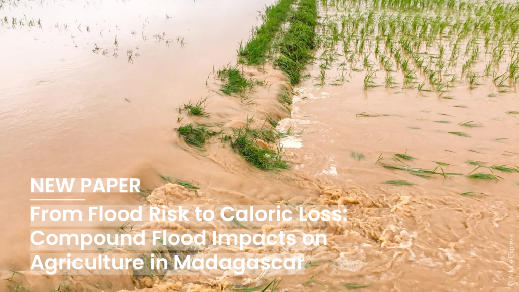
In this study, “From Flood Risk to Caloric Loss: Compound Flood Impacts on Agriculture in Madagascar,” we look beyond just measuring flooded land. We focus on what floods mean for food security. Rather than only counting affected areas, the study turns flood impacts into measures like lost calories and food shortages for people. We ask not just how much land is flooded, but how much food is lost and how many people could go without enough to eat.
Linking flood hazards with food production
To answer this, the study brings together several parts into one spatial framework. A custom crop classification model uses remote sensing data to map important staple crops like rice, maize, and root and tuber crops across Madagascar. With WorldCereal reference data and AlphaEarth Foundation Embeddings, the model is 72% accurate overall and performs especially well with rice, Madagascar’s main staple crop.
Next, this crop information is combined with detailed flood data, covering rain, river, and coastal floods. By using crop damage estimates that depend on flood depth, the framework shows how different flood scenarios can affect crop yields and alter food production and calorie losses, both now and in the future.
What do floods mean for food security?
The results show that the impacts are both large and uneven. Rice is hit the hardest because it is mostly grown in low-lying areas that flood easily. Even today, a major flood that occurs once every 100 years could cause food losses equal to the yearly minimum dietary requirements for over 9 million people. If emissions remain high, this number could reach almost 12.7 million people by 2080.
In the worst cases, floods could cut total potential food calories by as much as 29%. This shows how vulnerable Madagascar’s food system is to multiple hazards.
At the same time, the impacts are different across regions. Places that produce a lot of crops lose the most in total, while areas with less farming may see larger drops in the amount of food available than they usually have.
By turning flood risks into measures that show real effects of nutrition, this approach help us predict impacts and act early. It point out where food shortages are most likely, which regions may need help first, and how climate change could make these risks worse in the future.
Because this study is still ongoing, it highlights several current challenges, including uncertainties in crop classification and seasonality, as well as the need to more accurately reflect real-world food systems. Accordingly, future work will focus on improving data quality—specifically regarding crop seasons and refining the frameworks to make them more actionable for disaster management and humanitarian planning.
By linking flood risk, farming, and food security, this research shows how geoinformation can help create more practical, people-focused climate risk assessments, especially in areas with limited data and high vulnerability.
Reference: Thomé, C., Schauß, A., Maurer, M., Lautenbach, S., Zipf, A., & Grinblat, Y. (2026). From Flood Risk to Caloric Loss: Compound Flood Impacts on Agriculture in Madagascar. Proceedings of the International ISCRAM Conference, 23. From Flood Risk to Caloric Loss: Compound Flood Impacts on Agriculture in Madagascar


