Following the catastrophic earthquakes in Venezuela on June 24, 2026, humanitarian organizations face a compromised operational landscape. With over 3,600 confirmed fatalities and tens of thousands missing, the immediate priority is delivering medical care, shelter, and psychosocial support to survivors. However, the physical destruction of entire urban blocks directly impairs the logistics of aid delivery. Deploying relief teams requires clarity on infrastructure reliability.
Which roads are passable? Which bridges remain reliable? How long will a 20 km route take under current conditions?
Answering these questions is essential for navigating impassable roads and compromised transit corridors. Even a short transport route can become non-viable if critical infrastructure fails along the way, making real-time data the deciding factor to efficiently coordinate transport and avoid costly delays.
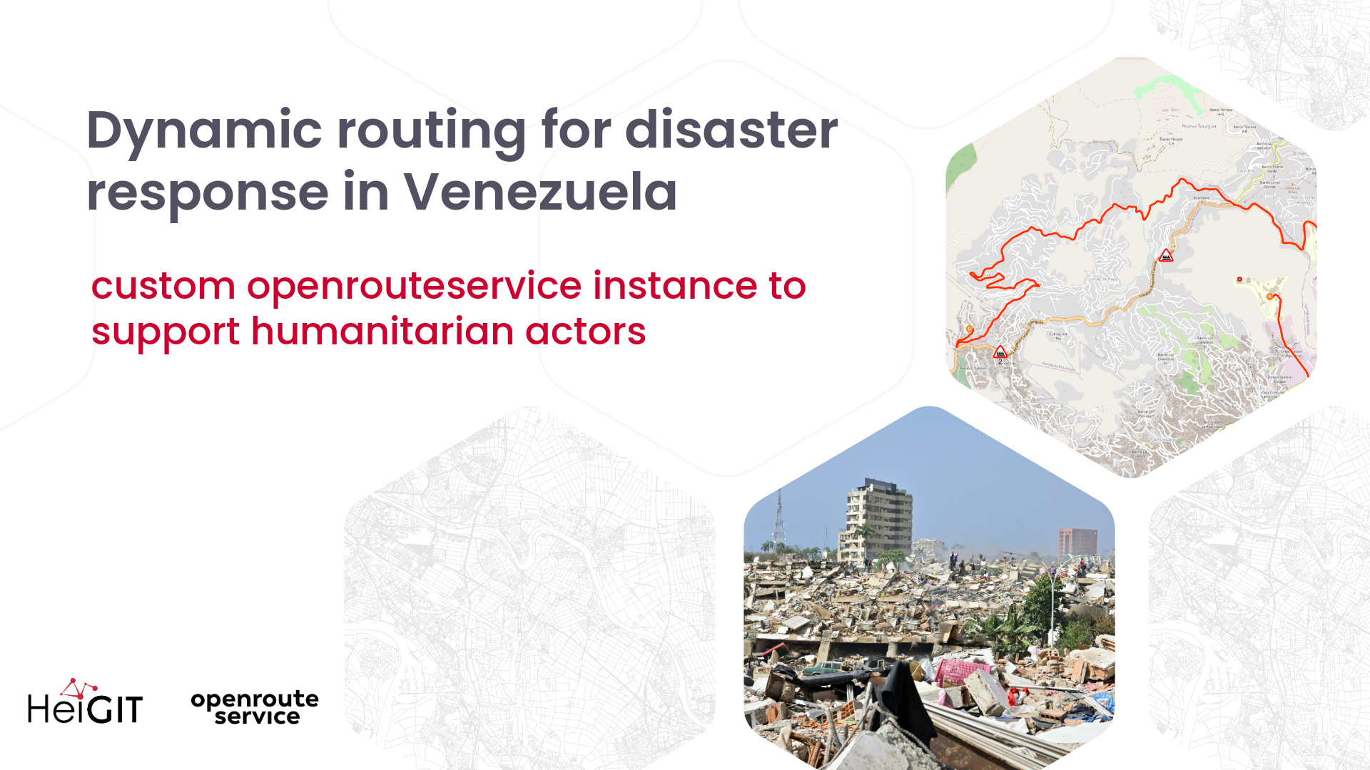
To solve the open challenges, we deployed a custom openrouteservice (ORS) instance to support the German Red Cross and other humanitarian actors. The current dashboard for Venezuela tracks the status of infrastructure impassability and automatically avoids those parts of the infrastructure for car and heavy goods vehicle (HGV) profiles. While the current focus is on road infrastructure blockages, the service is ready to support even more dynamic input like flood areas, areas of control, border checkpoints, bridges etc.
The platform integrates OpenStreetMap data and road blockage updates from the Humanitarian Data Exchange (HDX). While the standard OpenStreetMap network updates weekly, this system allows for immediate manual updates as ground conditions change. When field teams report a damaged road infrastructure, the routing engine instantly recalculates paths to bypass those obstacles. Current status of closed borders, damaged bridges, or impassable roads are instantly factored into route planning.
We will operate this platform for three months to support the active phase of the response.
The evolution of disaster routing
We started rolling out Disaster openrouteservice for disaster management in 2017. We did this region by region, expanding its reach over time. In the early releases we provided stable routing services for all of Africa, South America, and Indonesia so that humanitarian teams could use up‑to‑date maps and routing even when roads changed quickly.
During the last years, we supported several organizations during disasters. The tool used rapid data updates from OpenStreetMap (OSM) and fast routing-graph rebuilds for small areas. This allowed infrastructure changes to quickly propagate through OSM and reflect in routing. While this approach was successful for medium and long term accessibility information, we learned that this was not enough. Mission data is often sensitive, highly dynamic or just incompatible with OSM. This is where our old approach hit a limit.
The outcomes of our latest Dynamic Routing project provide the technical foundation to solve these challenges. Consequently, we are officially deprecating and shutting down the old Disaster openrouteservice to make room for a new approach.
We are currently developing a new generation of our disaster portal that will address these complex operational needs, and we will share more details about it shortly.
The custom openrouteservice instance for the current response in Venezuela is publicly available: openrouteservice – Venezuela Road Blockages