Scaling Up Mapping with Volunteers and Computer Vision
In many regions of the world, road and urban infrastructure is still under-mapped, which makes it particularly difficult for policy makers and local administrations as well as for humanitarian organizations and relief providers to act where needed in an effective way.
Volunteer mappers around the world have been greatly contributing to the task of “filling in the world map” one building, one road, one power pole at a time. Independent OpenStreetMap contributors worldwide, coordinated mapping efforts in mapathons, and various crowdmapping projects organized by Missing Maps and HOT (Humanitarian OpenStreetMap Team) are the cornerstone for gaining new and locally captured insights on less-mapped areas of the world.
Crowdmapping efforts can be strengthened by mapping tools such as the MapSwipe app, which support coordinated, remote mapping campaigns by volunteers based on aerial and street-level images, and the Sketch Map Tool, which helps to capture local knowledge through digitization of hand-drawn maps- and this allowing mapping sessions even in non-technical, offline settings.
At the same time, we now look at computer vision and deep learning models as a way of supporting and scaling up crowdmapping, as these advances strongly accelerate the rate at which we can add new information to the map and support volunteer efforts, saving their valuable time.
This is the underlying scope of several of our latest projects, from road surface classification and waste detection to sidewalks width measurement and weather-adaptive routing.
Introducing Computer Vision and Humanitarian Mapping to 8th Graders at Explore Science
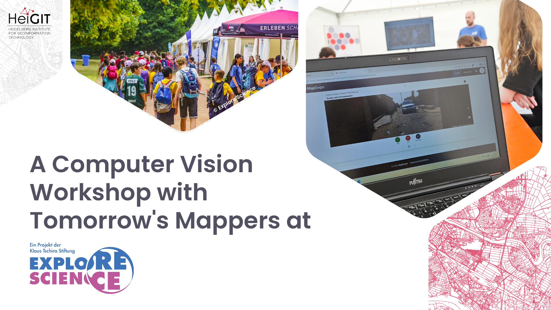
Last month, we put our work to a test in a different environment than usual, as we held a workshop on computer vision for humanitarian mapping for 8th-grade students at Explore Science in Mannheim.
Explore Science is an annual STEM experience event for children and teens organized by the Klaus Tschira Foundation in several German cities. Its central aim is to give children the opportunity to discover scientific phenomena for themselves, spark young people’s interest in scientific topics, and promote networking between scientific institutions and schools.
The workshop, titled „Expedition 2.0: An Exploration Journey with Artificial Intelligence,“ began with an introduction to computer vision, from simple bar codes to augmented reality video games and artificial intelligence models that interpret and process complex images and videos. We compared how humans recognize objects in an image with how a computer vision model processes images, stressing the central role of human experience and context awareness.
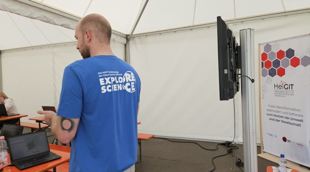
Building on this foundation, we dove into relevant application of computer vision to humanitarian mapping, explaining why more data about buildings, road surfaces, power poles, and other infrastructure is needed. Up-to-date information on infrastructure condition supports disaster preparedness, urban planning, and the work of humanitarian organizations in areas where official data is often limited or outdated.
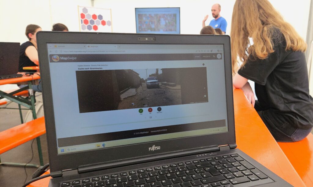
In the second part of the workshop, students applied these concepts directly. Using the MapSwipe app, they surveyed street-level imagery of Dar es Salaam, Tanzania, taking on the role of volunteer mappers. They searched for electricity infrastructure, identifying the images with power poles: the same type of task used to generate labeled training data for computer vision models. The mapping exercise showed how human input is crucial to shape the quality of data used to train a computer vision model.
Lessons Learned: The Human Role in Training Computer Vision Models
We experienced first-hand how humans are still needed in the loop, both to generate training data and to verify a model’s predictions, since automated systems continue to make errors, particularly in visually ambiguous cases. Students also gained an appreciation for the sheer volume of labeled data needed to train a computer vision model. While computer vision represents an invaluable asset to gain data more rapidly, training and overseeing computer vision models remains a substantial and ongoing human effort.