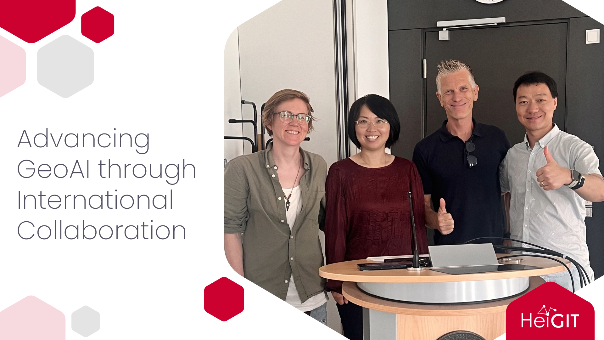
HeiGIT and the GIScience Research group recently welcomed two international renowned researchers in geospatial artificial intelligence: Prof. Dr. WenWen Li from Arizona State University and Prof. Dr. Song Gao from the University of Wisconsin, Madison. Their visits created opportunities to exchange ideas, explore complementary research, and develop new concepts for international collaboration in GeoAI.
Li is a professor at Arizona State University’s School of Geographical Sciences and Urban Planning, where she also is the director of the Spatial Analysis Research Center. Gao is a professor at the University of Wisconsin, Madison, and directs the Geospatial Data Science Lab. Their research aligns with HeiGIT’s focus on open geospatial data, GeoAI, humanitarian aid, mobility, disaster response, and climate action.
Building research connections
Wenwen Li’s connection with Heidelberg began more than twelve years ago, when she met Prof. Dr. Alexander Zipf at an international conference in Wuhan, China. Since then, she has followed the work of the GIScience Research Group and HeiGIT. She was especially drawn to Heidelberg because it connects fundamental GIScience research with the development of practical geospatial technologies that help society and the environment. This mix also played a role in her choice to study GIScience after earning her computer science degree. For Li, the visit was a chance to return to what she called a “dream place” where she could learn, share ideas, and build collaborations.
Gao’s visit was also based on shared academic ties and mutual interests in GeoAI. In seminars and meetings with HeiGIT and GIScience colleagues, he talked about how new AI methods could be tailored to fit the unique features of geospatial information.
Both visits focused on developing GeoAI methods that can handle various types of geospatial data. Li’s research brings together geospatial knowledge and advanced AI to tackle environmental and social issues. Her team creates GeoAI models for uses like environmental monitoring, water access, disaster response, and climate adaptation. Recently, they helped develop the Earth observation model Prithvi-EO-2.0 with NASA, IBM, and other partners, and used AI to track and predict permafrost thaw in the Arctic.
She sees a promising area for collaboration in adding vector data to GeoAI models. Most AI systems work with images and text, but vector data like roads, buildings, points, and polygons from OpenStreetMap are more abstract and need different processing. HeiGIT’s strong background with OpenStreetMap and vector data fits well with Li’s work on geospatial models and AI for disaster management.
Gao’s research also looks at combining different types of geospatial data. This can include satellite and street images, natural language descriptions, sound data, and vector information like road networks and mapped features. During his visit, the team discussed ways to combine raster and vector data using multimodal learning methods. These new methods could help in many areas of HeiGIT’s work. Gao’s research on how people move in cities can support studies on migration and changing travel patterns. His work on both human and animal movement also gives useful ideas for biodiversity and conservation. Other uses include public health research and mapping hazards like urban flooding and wildfires with GeoAI.
Along with sharing new scientific ideas, the researchers connected with the new people they met and the working culture they experienced during their visits. This was Li’s second time visiting Heidelberg University and HeiGIT. She was happy to see colleagues she already knew, who now felt like old friends, and to meet new team members. Having her visit overlap with Gao’s was another highlight, as it let her learn more about his group’s recent work. Li also joined HeiGIT’s two day retreat. She liked the creative and varied sessions, which led to open and productive discussions. The experience gave her fresh ideas for organizing activities at her own research center and offered new insights into leadership and team building.
Gao was also impressed by how motivated and organized HeiGIT’s teams are. Even though HeiGIT includes researchers from many fields, he found the institute well coordinated, with teams that are passionate and self driven. Seeing this made him think about how his own group could grow while keeping a strong and collaborative spirit. Heidelberg itself made a strong impression. Visiting the Philosophers’ Walk was a highlight for Gao. As a geographer who studies places, he found the city’s landscape and academic history inspiring.
The visits led to several clear opportunities for ongoing collaboration, such as developing multimodal GeoAI methods, combining raster and vector data, modeling urban mobility, mapping disasters, and using AI to address humanitarian and climate issues. There are also plans for joint international research proposals and exchanges for doctoral candidates, graduate students, and early career researchers. Li highlighted that young researchers play a key role in advancing geospatial innovation and can gain a lot from the combined expertise of the teams in Heidelberg, Arizona, and Wisconsin.
By focusing on shared research interests, different methodological strengths, and a commitment to socially relevant geospatial technologies, the visits helped strengthen HeiGIT’s international research network and set the stage for future collaboration.
At HeiGIT we are happy to welcome guest researchers whose insights spark new collaborations and advance geoinformation technology for societal benefit.
Related Publications
- Li, W., et al. (2024). GeoAI for Science and the Science of GeoAI. Journal of Spatial Information Science, No. 29.
- Szwarcman, D., et al. Prithvi-EO-2.0: A Versatile Multi-Temporal Foundation Model for Earth Observation Applications. IEEE Transactions on Geoscience and Remote Sensing.
- Knoblauch, S., et al. (2026). Spatial Representation Learning Beyond Pixels: Unifying Raster Data and Vector Semantics for Human-Centric Geospatial Foundation Models. arXiv:2606.02374.
- Oliver, R. Y., et al. (2026). Interacting Effects of Human Presence and Landscape Modification on Birds and Mammals. Science, 392(6800), 879–884.
- Gao, S., Hu, Y., & Li, W. (Eds.). (2023). Handbook of geospatial artificial intelligence (GeoAI). CRC Press. Handbook of Geospatial Artificial Intelligence