Road traffic and residential heating are the two main sources of CO₂ emissions in many cities. HeiGIT´s new emission inventories map these emissions and can simulate the effects of new…
Free and open-source map data has become a keystone for research across diverse fields. The extensive coverage of OpenStreetMap (OSM) data allows scientists to conduct independent studies without relying on…
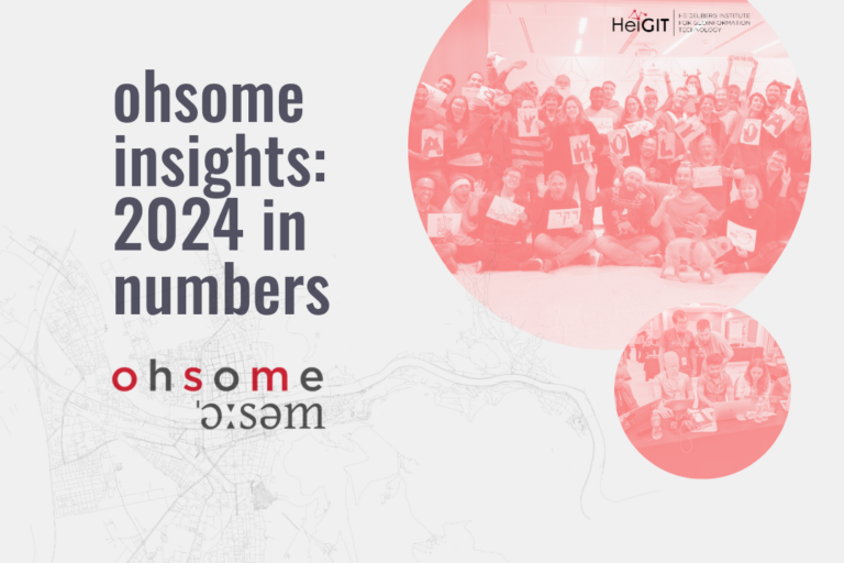
Explore some of metrics from ohsome tools and impact of OpenStreetMap (OSM) in 2024. From building data coverage in Baden-Württemberg to millions of API requests and contributions, these figures showcase…