Global Platform 2019 in Geneva
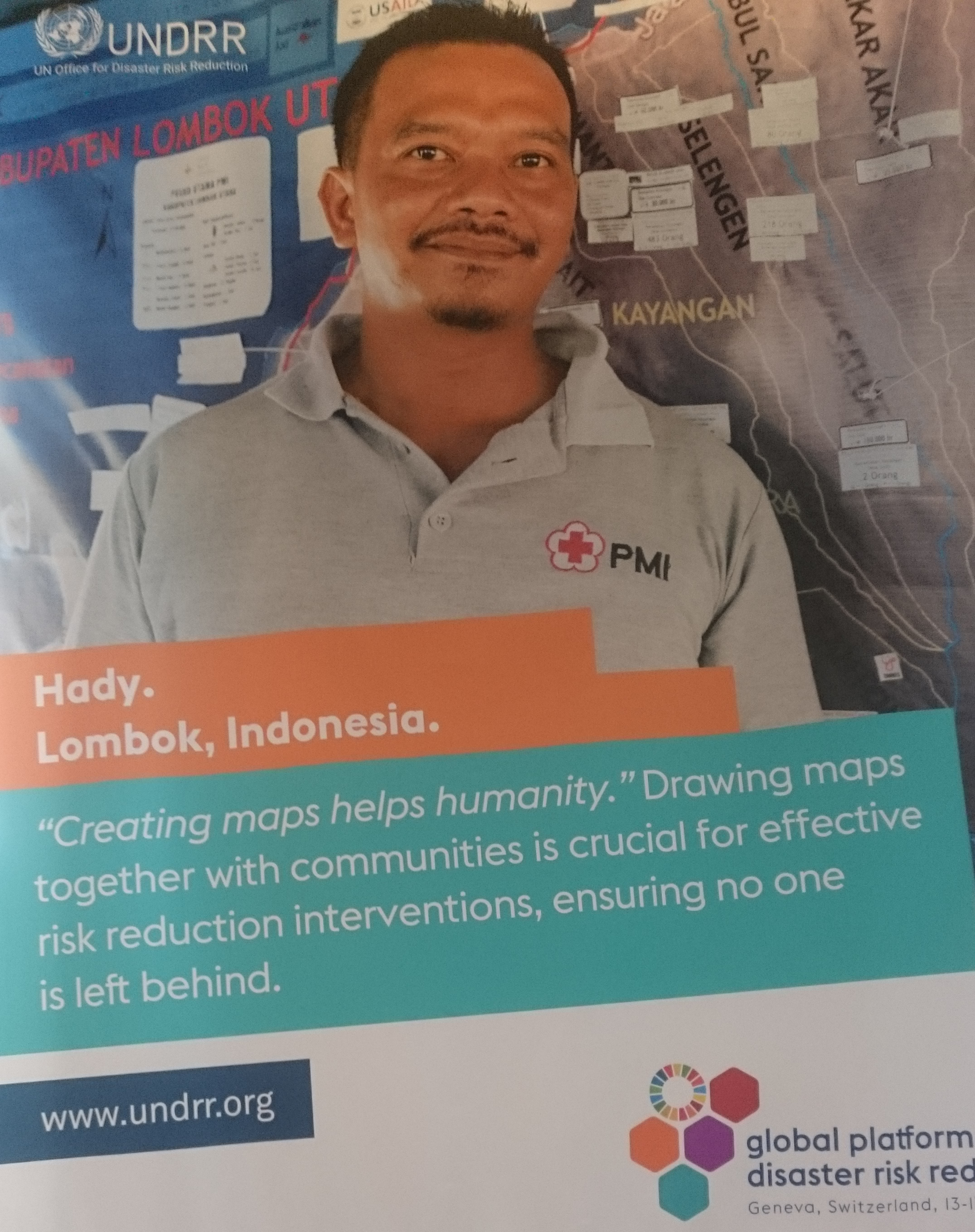
Creating maps helps humanity. Drawing maps together with communities is crucial for effective risk reduction interventions, ensuring no one is left behind.
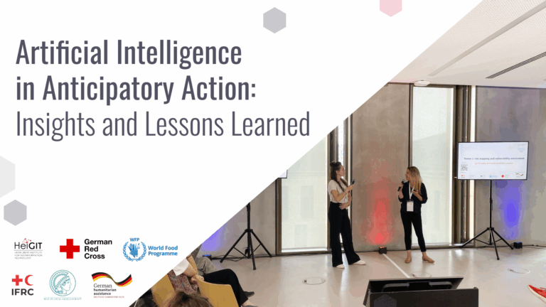
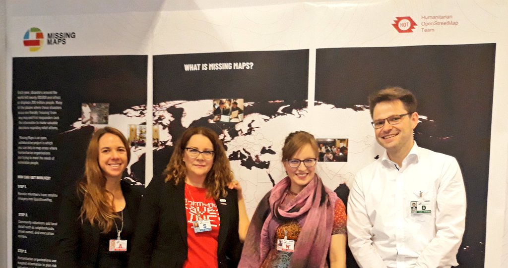
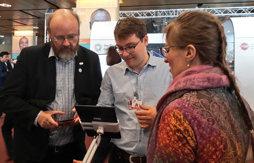
The progress of the implementation of the targets set by the Sendai Framework for Disaster Risk Reduction (DRR) have been key discussion points during this years Global Platform in Geneva. Reducing disaster risks and losses in lives, livelihoods and health requires concrete actions by several stakeholders. Within the Missing Maps project we tackle this by creating maps in OpenStreetMap for places which today lack data entirely. During the Global Platform 2019 a team from the Heidelberg Institute for Geoinformation Technology (HeiGIT), the Humanitarian OpenStreetMap Team (HOT), the Netherlands Red Cross (510 global) and the International Federation of Red Cross and Red Crescent Societies (IFRC) presented the Missing Maps approach. We were also happy to finally welcome the German Red Cross (GRC) in our Missing Maps community.
Bring together Disaster Risk Reduction and OpenStreetMap
The Missing Maps volunteers create map data in OpenStreetMap. They map building footprints or trace roads. Local Missing Maps volunteers help to add further details such as village names, evacuation centers and health facilities. During the days at the Global Platform many stakeholders from national disaster risk reduction agencies and NGOs learned about OpenStreetMap and how valuable a global and open data base of geo-information can be. In many of those countries local OpenStreetMap communities already exist and can function as a focal point for new DRR approaches. We can’t emphasize it enough: Open and free map data created by the OSM community will help to meet the targets of the Sendai Framework.
The potential of Missing Maps
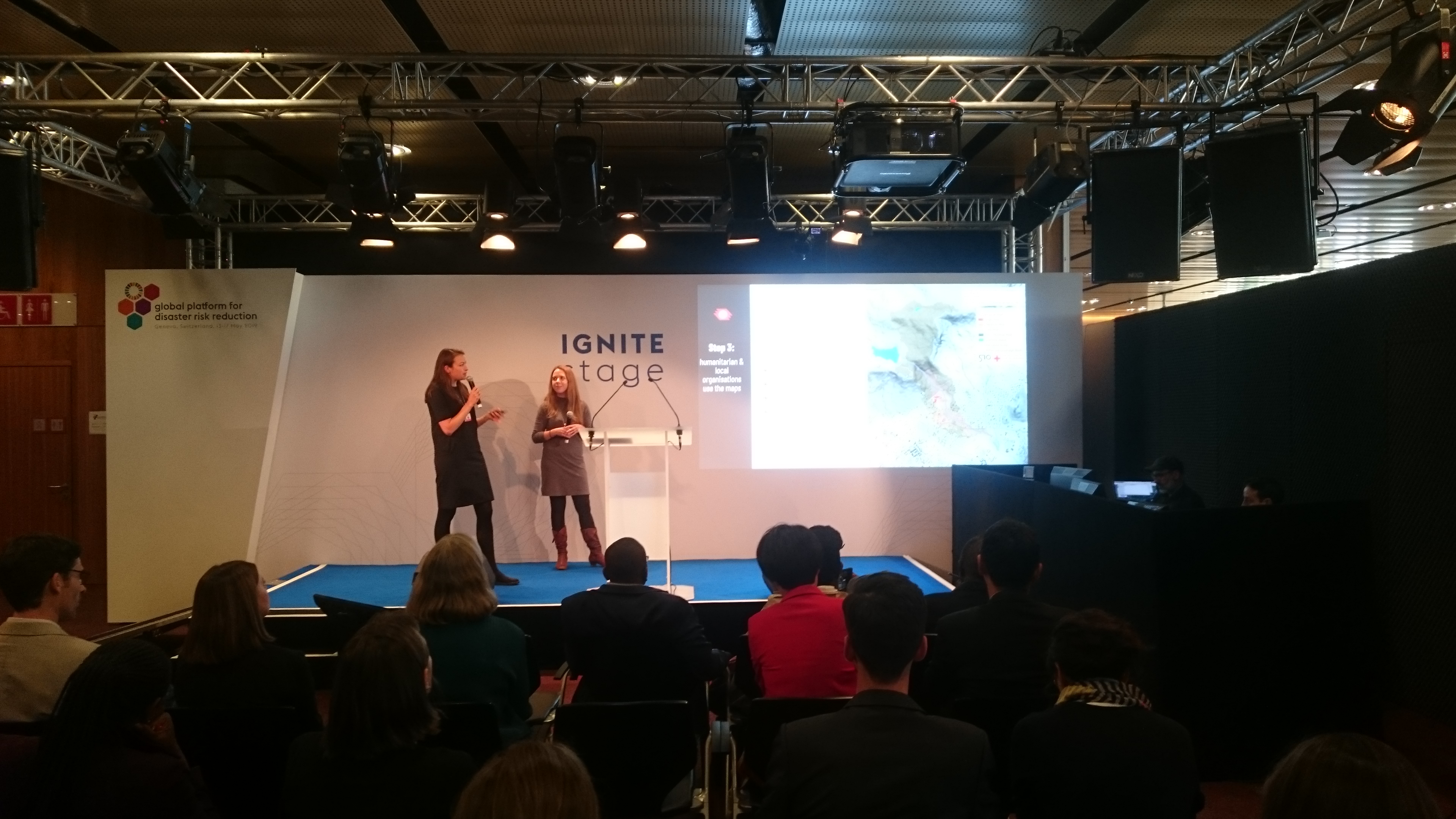
Missing Maps has been around for almost five years but still there are so many places which lack sufficient map data. This is no reason to give up, but to scale up our approach even more. We need consortium such as Missing Maps to foster the communication and exchange between humanitarian organisations, the OpenStreetMap communities and research institutions. Melanie and Rebecca were presenting on this topic on the Ignite Stage at the Global Platform 2019. The questions we received afterwards and at our booth show that we need the Missing Maps to leave no one behind.
As Missing Maps we should strengthen the existing mapping communities and help those who want to get started. Involving more national organisations and sharing our experiences, tools and work flows are key to the mission of Missing Maps. Vice versa, this will help us to reach the local communities and teach how to create data in OSM and make use of it. As Missing Maps is growing, so is its potential impact.
OpenStreetMap based services and tools for Disaster Risk reduction
Creating map data is only the very first step towards better disaster risk planning. OpenStreetMap data extracts on the country level can be downloaded from the Humanitarian Data Exchange platform. This is an easy way the get started with the data. Once data becomes available visualisation and analysis get more important.
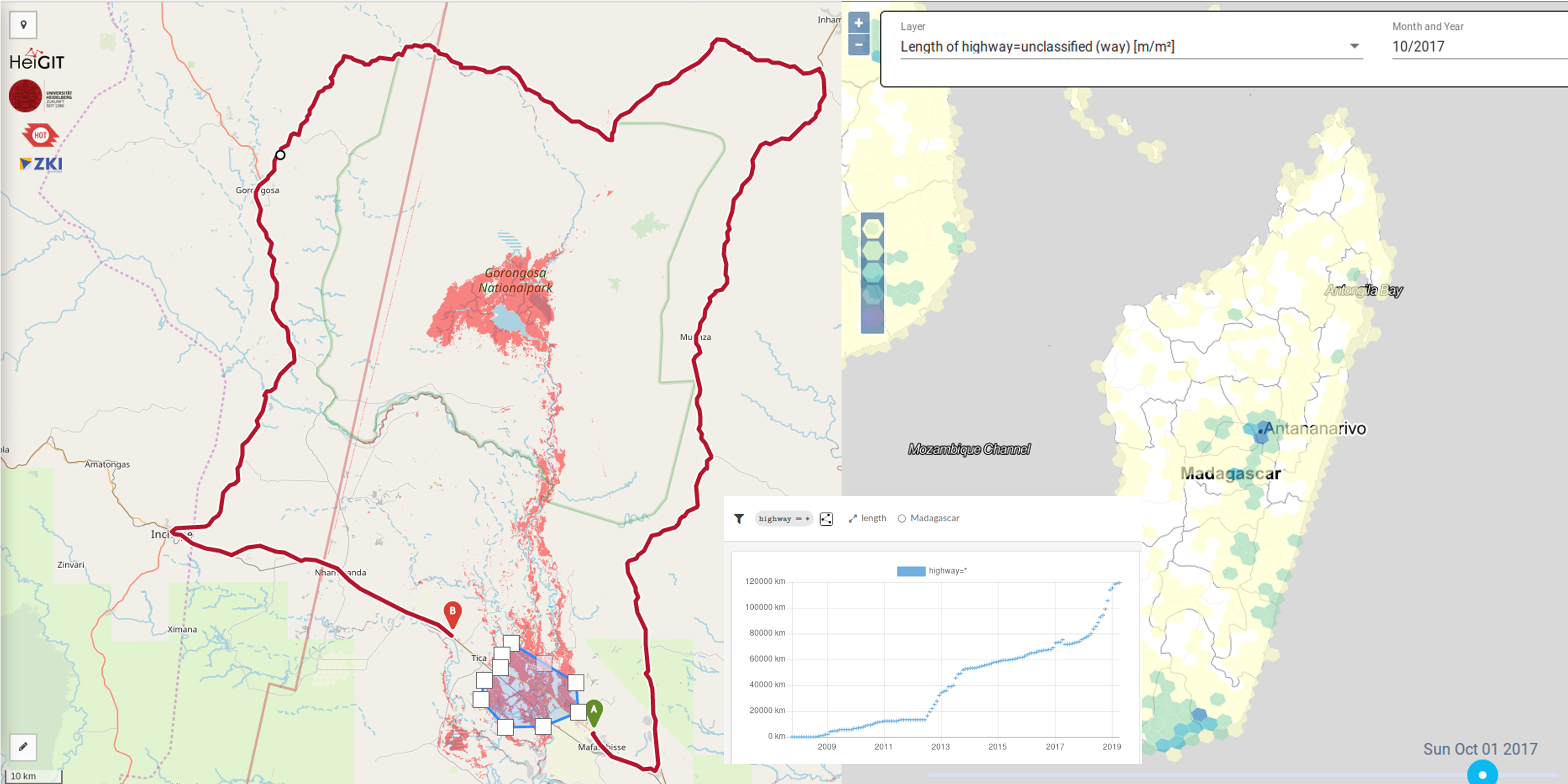
At the Heidelberg Institute for Geoinformation Technology, we are working on those tools to make use of the OSM data. The OpenRouteService provides routing functionality based on up-to-date OSM data for several different transportation profiles. For instance, accessibility of health care facilities can provide insights for disaster risk reduction strategies. When using data produced by volunteers, understanding it’s quality is a basic issue. The ohsome platform is designed exactly for this. Looking at how the OSM data has been created and how it changed over time will help us to draw the right conclusions. Missing Maps primary aim is to create map data, but we should think about the analysis directly in the next step.
What’s next?
Disaster Risk Reduction involves many stakeholders with different perspectives. Missing Maps can help to bridge different backgrounds and disciplines. During the Global Platform 2019 we discussed topics such as education, forecast based financing, disaster insurance, inclusion, early warning and many more. Finding concrete examples how those aspects are related to map data will be a topic for Missing Maps in the years to come.
For instance, combining up-to-date data on flood extent or flood forecasts and OSM data and OSM-based services will help to identify vulnerable populations before disasters occur. Another topic which we discussed during the Global Platform 2019 is related to bringing together machine learning and crowdsourcing. The machine learning world is moving fast and new automated approaches to map buildings or land use show huge potential for our work. Missing Maps is addressing this topic already in several projects, e.g. related to the HOT Tasking Manager or MapSwipe. Nevertheless, we are still learning how to integrate an intelligent assistance for mappers into the existing mapping approaches.
The future mission for Missing Maps is clear: Growing the communities and building the tools to fill the blank spots on the global OpenStreetMap.