Beginning of April, Amsterdam will become the gathering place for the global geospatial community. The Geospatial World Forum is organized for the 11th time and builds on previous successes that made it a leading event in sense of innovation, thematic focus and community engagement. The forum will enable geospatial professionals and leaders from public and national mapping agencies, private sector enterprises, multilateral and development organizations, scientific and academic institutions, and for sure also end users, to exchange latest ideas and experiences.
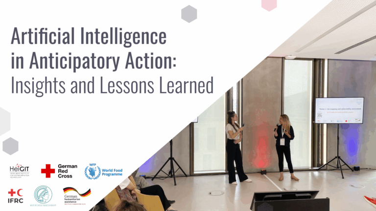
Melanie Eckle was invited to support the event as a panelist to represent HeiGIT as well as Humanitarian OpenStreetMap Team in the Geo4SDGs session. In line with the main conference motto “Empowering billions”, the Geo4SDGs session is a platform that aims at bridging the gap between the geospatial and development community, policy makers, and the implementers of the Sustainable Development Goals. Sessions will share insights on current practice and how to best support current efforts – through the skills and experience of the geospatial community.
Melanie will share experiences and provide an overview of current related projects of the Humanitarian OpenStreetMap Team (HOT). Not only is HOT facilitating development of open source tools to be put to use for mapping, monitoring and modelling SDG related features as well as indicators, HOT has also launched an annual Microgrant Program to enable related community projects.
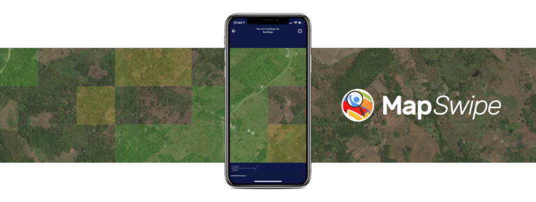
In line with HOT, HeiGIT conducts research and develops tools, services and innovative processes for new analysis methods to support humanitarian efforts, to improve making use of relevant data from multiple sources, and to help monitor and to achieve the SDGs. See some recent online examples here (from MapSwipe Analytics via the ohsome platform or Openrouteservice for disaster management to the OSM climate protection map).
A main aim of HeiGIT is to improve knowledge and technology transfer from the fundamental geoinformatic research to practical applications, and we are on that note also very looking forward to sharing experiences and to discuss and to explore further related ideas with the global geospatial community.
![]()