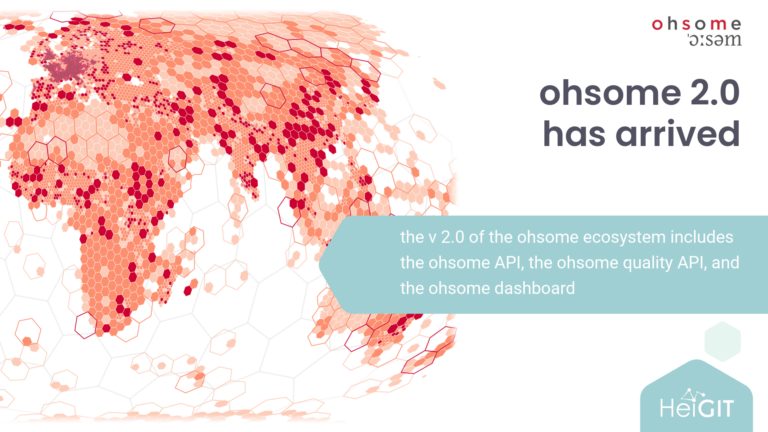
Last year, we published our initial roadmap toward ohsome 2.0, outlining a transition from our established OpenStreetMap History Database (OSHDB) toward a Postgres backend enhanced by PostGIS and Citus. This structural update shifts the focus from processing raw OSM history toward supporting high-performance data quality analyses.
We have developed the ohsome framework over the past decade to overcome technical hurdles of processing historical data. Initially introduced at State of the Map 2018 in Milan, the ecosystem is now undergoing its most significant architectural shift to date. Today, we are sharing an update on our timeline, releasing a new test version of the API.
ohsome API v2.0
The ohsome API helps researchers and community members to analyze and extract OSM data, tackling the persistent challenges of massive data size and structurally scattered data sources. Through the API, you can filter for tags, travel in time, and tailor data analysis to your custom-defined area of interest.
As processing happens entirely on the server side at HeiGIT, users can analyze even large regions, such as full countries, using a normal laptop. Due to major underlying performance improvements, complex queries that previously required heavy computing resources now execute within seconds. For example, calculating the proportion of all German roads that possess a name tag now takes only a few moments. With version 2.0, users will also be able to filter directly for changeset information, including mapping hashtags.
All relevant links to the new API test endpoints, the dashboard, and ohsome-planet are listed at the bottom of this post.
Timeline and Migration Requirements
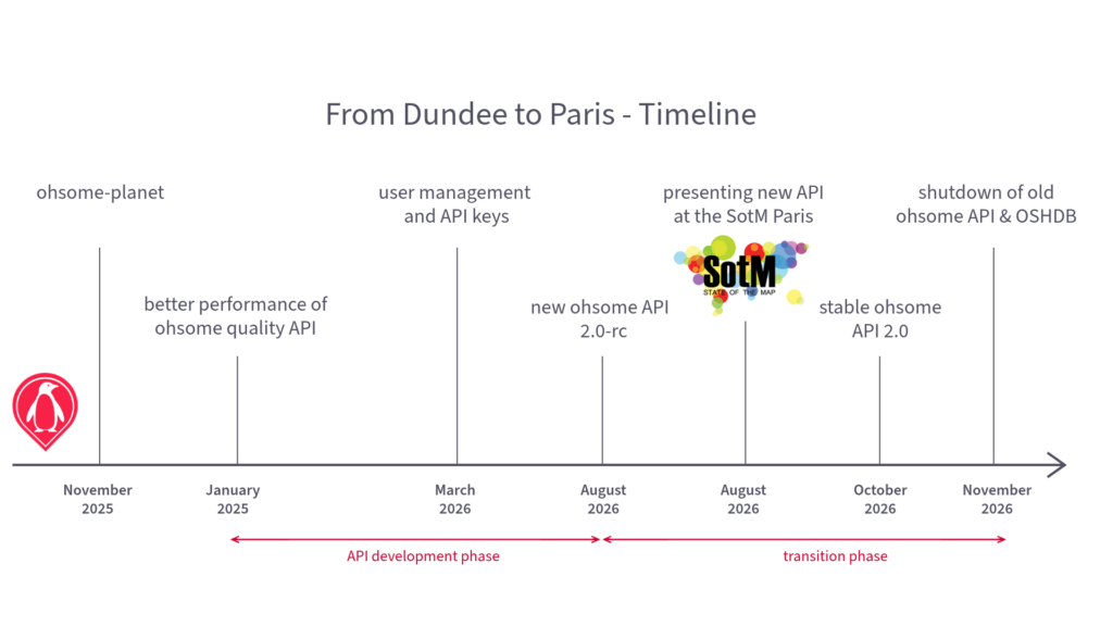
The transition to this new architecture means discontinuing old ohsome API and OSHDB. We are adopting the following timeline for deployment and decommissioning:
- Beginning of August 2026: Launch of the new ohsome API 2.0-rc (release candidate) version. Users are encouraged to begin testing their existing workflows against the new endpoints.
- End of August 2026: Public launch and presentation at the State of the Map 2026, focusing on the ohsome tech stack, ohsome-planet deployment, and automated data quality reporting.
- October 2026: ohsome API 2.0 version is stable. No breaking changes are to be expected.
- November 31, 2026: Decommissioning of the legacy ohsome API and the original OSHDB framework.
Next Steps and Community Feedback
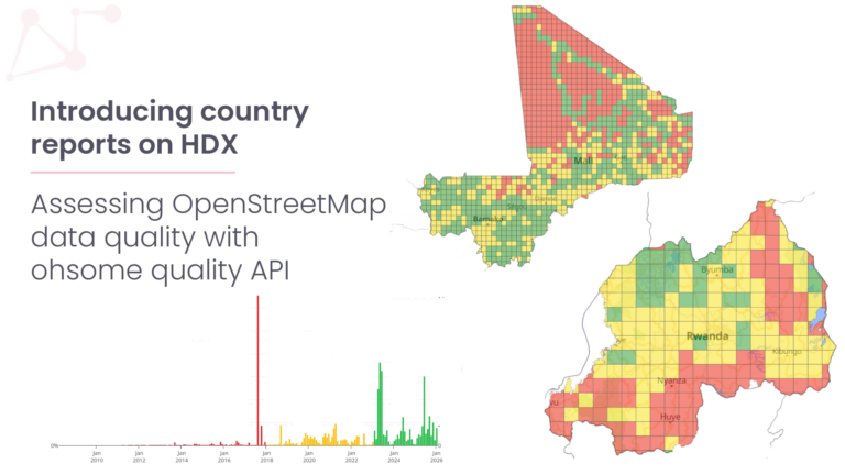
We welcome direct feedback on the current test API prior to State of the Map 2026 in Paris to help us collect your impressions and experiences. At the conference, we will present ohsome-planet and ohsome API 2.0-rc, demonstrating how to leverage the new API structure to generate multi-dimensional data quality reports assessing completeness, currentness, and attribute validity.
Because this update alters the query structure, we plan to organize self-organized community sessions during the conference to assist users with script migration. We look forward to gathering feedback, discussing edge cases, and learning more about how the community applies historical OSM data to complex analytical questions.
Resources and links
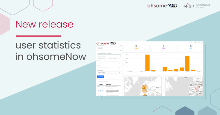
next ohsome dasboard
ohsome – dashboard
GitHub – GIScience/ohsome-dashboard: Web Client for easy access to OSM History and Quality Analyses
ohsome quality API
GitHub – GIScience/ohsome-quality-api: Data quality estimations for OpenStreetMap
ohsome test API
https://api.heigit.org/ohsome-api/v2-rc/docs