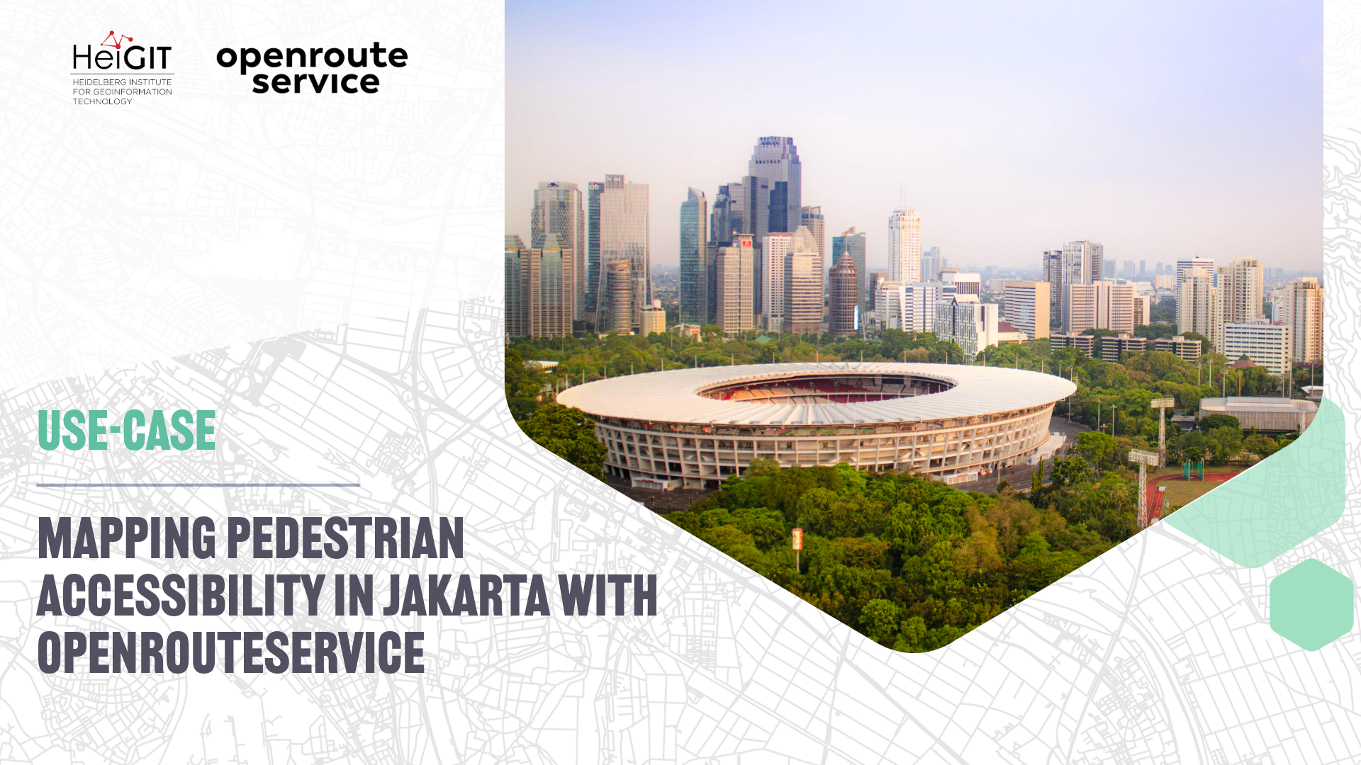
Urban green spaces (UGS) are central to the cultural ecosystem services (CES) that contribute to the social and psychological wellbeing of city residents. In Jakarta, however, access to such spaces is not evenly distributed. A study published in npj Urban Sustainability investigated how residents across the city reach UGS that they themselves identified as culturally meaningful. Using a participatory mapping survey of 638 respondents, the researchers compiled a set of UGS locations valued for recreation, social interaction, and cultural engagement. They then examined how long it would take residents from different areas of the city to walk to these places, with a specific interest in whether individuals living in lower-land-value (and thus typically lower-income) areas experience reduced accessibility.
The research design needed a realistic, network-based travel times rather than straight-line distances. Jakarta’s dense built environment, complex street structure, and inconsistent pedestrian infrastructure mean that spatial proximity alone does not accurately capture access. This methodological challenge led the researchers to employ openrouteservice to analyse disparities in walkability at the city scale.
openrouteservice for accessibility analysis
The study integrated openrouteservice via its QGIS plugin to calculate walking travel times and to generate pedestrian isochrones. With these functions the researchers assessed how accessible the mapped UGS locations are from residents’ postal-code centroids.
The openrouteservice Distance Matrix was used to compute walking travel times for each respondent area to each UGS location. This provided a measure of accessibility that accounts for the actual pedestrian network. Because respondents’ home locations were represented by postal code centroids, the travel times reflect the typical experience of residents while remaining grounded in the network-based methodology central to the study.
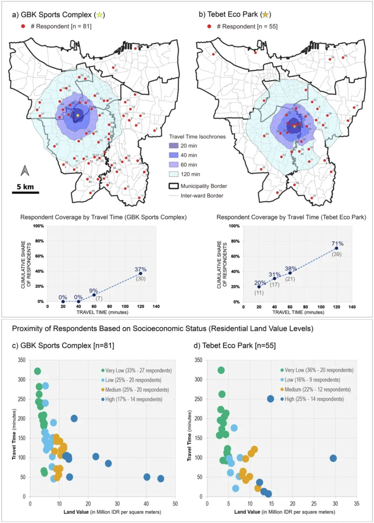
To complement these calculations, the researchers used openrouteservice to produce pedestrian isochrones at intervals of 20, 40, 60, and 120 minutes around selected UGS sites. These isochrones showed which parts of Jakarta are within a reasonable walking distance of the most frequently mapped and highly valued green spaces, such as Tebet Eco Park and the GBK Sports Complex. The resulting spatial patterns, along with scatter plot distributions, enabled a straightforward comparison of accessibility across socioeconomic groups by overlaying the isochrones with land-value data.
The analysis revealed that residents living in lower-land-value areas generally face longer walking times to reach culturally significant UGS. In contrast, higher-land-value areas were more likely to fall within shorter travel-time isochrone bands. By combining openrouteservice outputs with socioeconomic data, the study demonstrated how network-based accessibility measures can expose inequities that would be obscured by simpler measures such as Euclidean distance.
The study illustrates the value of precise accessibility modelling for understanding cultural ecosystem service provision, highlighting how methodological choices can reveal hidden access inequalities and shape insights into environmental justice in rapidly urbanizing regions.
Are you applying openrouteservice in research, projects on sustainable mobility or disaster management? Get in touch with communications[at]heigit.org to be featured on our blog.
Reference:
Rahman, I., Grunwald, A. & Saha, S. Access to cultural ecosystem services and how urban green spaces marginalize underprivileged groups. npj Urban Sustain 5, 36 (2025). https://doi.org/10.1038/s42949-025-00221-z
ORS Tools – openrouteservice routing, isochrones and matrix calculations for QGIS