#OpenStreetMap is turning 16! Happy Birthday from the HeiGIT team.
After 16 years OSM is a reference of collaborative work and how we can give our best to create and maintain global, free and multipurpose projects that bring benefits to all. As part of this ecosystem we are continuously working to offer services and solutions that contributes to develop and enrich even more the OSM world.
The OpenRouteService team at HeiGIT has created several services and tools to help expand the amazing features of OSM. Our mission is to help you get where you want to go, whether by bicycle, car, foot or wheelchair 🙂
As a birthday gift, we present a new – open source OpenRouteService map client – that brings a modern, mobile friendly and easy to use interface to explore and use all the unique resources that the ORS API offers in combination with OSM map data. The source code of the new client is available on our GitHub repository.
This fresh map client was developed from scratch using VueJs, Vue2Leaflet, Vuetify and our ORS JavaScript library. Although it is expected to be already functional, it is not yet finished and hence this is a first-hand pre-release announcement. We couldn’t come to OSM’s birthday without a gift in our hands!
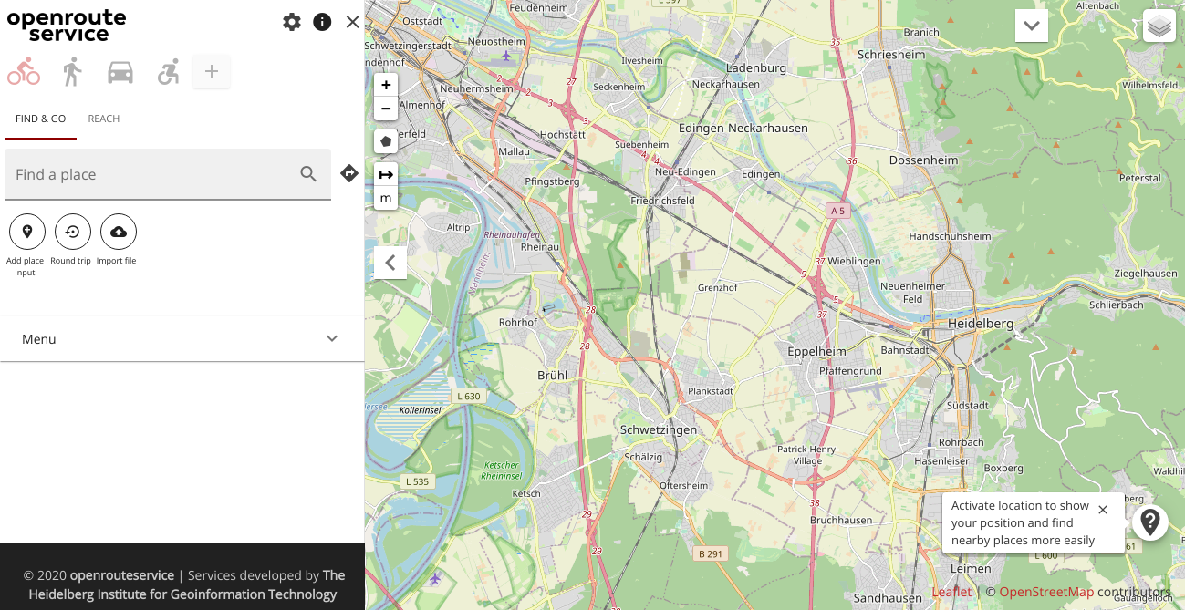
Fig. 1: Home of the new ORS map client
The new map client was designed to be used also on mobile/low resolution devices in order to allow users to find places, calculate routes and isochrones while on the way. It is responsive and can use device’s positioning system.
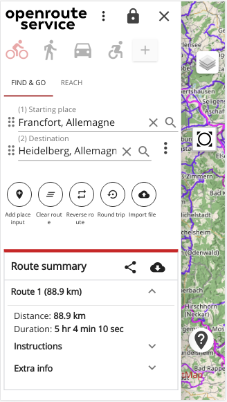
Fig. 2: Adaptive sidebar on mobile

Fig. 3: Route calculated on mobile
- Introduces search mode
- Friendlier URLs
- More in-app settings
- Improve usability
- Design and feature improvements
- New technologies/framework/components
- Update technologies Improve maintainability
The search mode allows users to search for nearby places given a chosen center and list them either on the map with selectable places and in a carousel that allows the user to navigate through them and select a desired one as a route destination. The user now can also customize some app behaviors via settings, like auto-fit bounds when route changes, default tiles provider, scope of the search mode and even define a custom tiles provider in a way to customize the background map used.
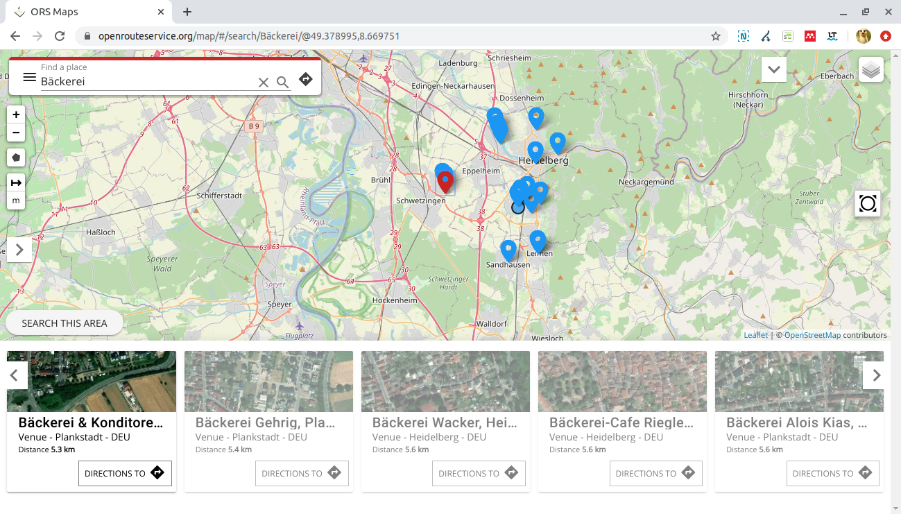
Fig. 4: Search mode – listing nearby places
HAPPY BIRTHDAY OSM!
Count on OpenRouteService to find your way and have fun!