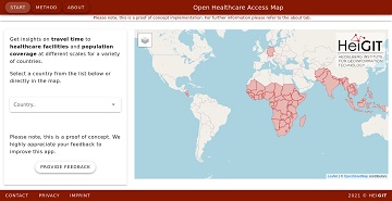
It’s been a little longer than a month since we published the Open Healthcare Access Map. Last week we rolled out all countries of Sub-Saharan Africa. Today all countries of South and Southeast Asia follow.
The web application is available here: https://apps.heigit.org/healthcare_access/.
To get a clearer understanding of healthcare infrastructure data in OpenStreetMap, please consult this blogpost from 2019. With the support of ohsome.org, the evolution of healthcare-related objects in OpenStreetMap is described for each country worldwide. An update of this analysis as well as an integration into the open healthcare access map is planned and will be announced soon.
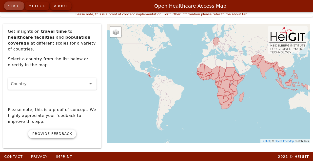
Fig. 1: All available countries in Open Healthcare Access Map
According to WorldPop data, South and Southeast Asia is home to 2.578 billion people. Our analysis shows that 1.801 billion (69.8%) of these live within a 60-minute drive of any healthcare facility. 1.455 million (57.7%) live within 30 minutes and 906 million (35.15%) live within 10 minutes. The following map shows the distribution of accessibility on the hexagon scale (zoom level8) across the two world regions.
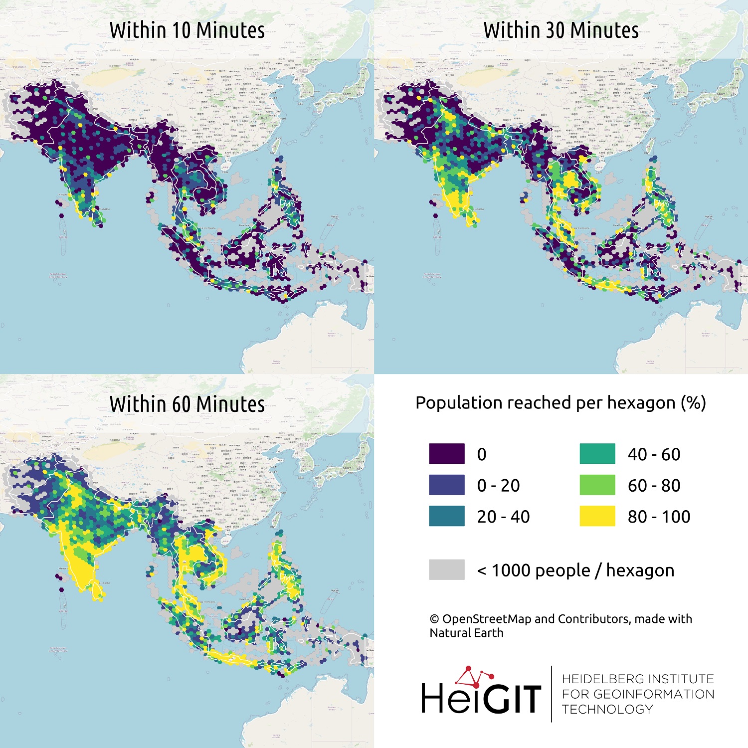
Fig. 2: Hexagon aggregation of population covered for 10, 30 and 60 minutes driving distance towards the closest healthcare facility.
Please note that this is still a prototype and feedback on improvements and desired functionalities is very welcome. Once again we highly appreciate your feedback on the app! Please feel free to reach out via mail.
Related work:
- Geldsetzer, P.; Reinmuth, M.; Ouma, P. O., Lautenbach, S.; Okiro E. A.; Bärnighausen, T.; Zipf, A. Mapping physical access to health care for older adults in sub-Saharan Africa and implications for the COVID-19 response: a cross-sectional analysis. The Lancet Healthy Longevity. 2020;1(1):e32-e42.
- Updated OSM Healthcare in Senegal (2020)
- Accessibility to pharmacies in Germany with 15km Covid-19 restriction
- Accessibility of covid-19 vaccination centers in Germany
- xploring OSM for healthcare access analysis in Sub-Saharan Africa
- Exploring OSM history: the example of health related amenities
- Recent changes to OpenStreetMap healthcare infrastructure in India
- Insights into OpenStreetMap healthcare attributes in India over time
- Analysing OSM Completeness of health facilities in Sub-Sahara Africa in ohsomeHeX