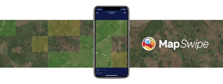
Recently, earth observation by satellites has shown great capability in supporting a range of challenges such as disaster assessment, agriculture monitoring, and humanitarian mapping. MapSwipe, as a humanitarian mapping app, provides a crowdsourcing platform to collect volunteered geographical information (VGI), in order to generate the demanding base map of human settlements for better planning of in-filed humanitarian activities. Over the past years, millions of contributions have been made by volunteer mappers. However, it is still heartbreaking that when there is an emergent humanitarian project need mappers, while no one knows how many volunteers would come for helping. Since we have actively engaged from the beginning of the Missing Maps Project here in HeiGIT, we are consistently thinking about how to empower the humanitarian mapping workflow with the latest technologies, for instance the deep learning technology.
Within the context of the DeepVGI prorject, we are developing an intelligent human settlements detection prototype by learning deep neural networks from current OpenStreetMap (OSM) building geometries. It is a well-known performance bottleneck of deep learning tasks that vast amount training samples is always difficult to obtain. However, the preliminary results from selected case studies (Tanzania, Malawi etc.) leads us to one interesting finding that the sheer amount of OSM based training data could significantly compensate for their uneven data quality, meanwhile offer an off-the-shelf solution towards addressing this bottleneck. In addition, we have considered the demand of potential scaling-up issue in large-scale humanitarian mapping, thus our long-term vision is to develop our detection model in a transferable manner, which simply means the networks should be valid and ready-to-detect within certain regions or countries. It is still optimistic to consider fully automatic detection, while we already noticed the great potential of a machine-volunteer collaboration mechanism.
Detect human settlements using deep neural Networks in Tanzania. (Satellite Images from Bing Maps)
Towards integrating deep neural networks into the crowdsourcing application for an intelligent mapping workflow, it is our first motivation that not only to help stakeholders of humanitarian aids getting supports, but also empower the volunteers to map more efficiently and more preciously. Stay tuned for our future updates and new results!


