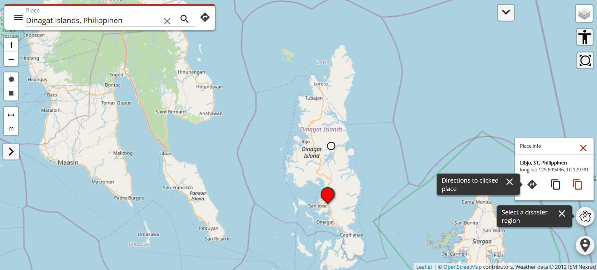
Just a couple of days ago, on December 16th, large area of the Philippines were hit by Typhoon Rai (local name Odette). The typhoon not only caused vast destruction but also hit many of the communities that already suffered most since the outbreak of COVID-19 (also see Emergency Appeal IFRC).
In order to provide support for the affected population and the humanitarian organizations that are involved in the response, the Humanitarian OpenStreetMap Team started to coordinate mapping efforts, helping to create a base map of the affected areas (see current tasks here).
Thanks to this effort, the OSM data is continually updated, including the road network. These infrastructure data can be utilized in the Openrouteservice for Disaster Management: https://disaster.openrouteservice.org
The service allows for routing based on the latest data, with updates taking place every 10 minutes. For a full overview of the client please see here.
The service will the updated and extended in the scope of the response and according to the respective requirements. Please feel free to get in touch if you have any feedback or questions, i.e. about integration into your workflows and systems. Tell us about your requirements or ideas!
Open Source: https://github.com/GIScience
- ORS Dashboard
- ORS API Documentation
- Jupyter Notebooks:
See also our work related to routing for disaster management and humanitarian aid:
- Quota for openrouteservice multi vehicle optimization increased to support logistics during Corona crisis
- United Nations World Data Forum Blog on Healthcare Accessibility Map
- Routenplanung im Überflutungsgebiet: openrouteservice nutzt Copernicus EMS Flut-Daten in spezieller Lösung
- Flood Impact Assessment on Road Network and Healthcare Access at the example of Jakarta, Indonesia
- All countries of South and Southeast Asia now on Open Healthcare Access Map
- Openrouteservice for complex route optimization in new QGIS extension by Regionalverband Ruhr
- OpenRouteService with waypoint optimization
- Find the route to your nearest Covid-19 vaccination center in Germany — new App by HeiGIT based on OpenStreetMap and openrouteservice
- Accessibility of covid-19 vaccination centers in Germany
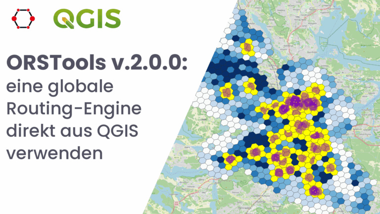
- New version of ORS Tools QGIS Plugin
- Mapping physical access to health care for older adults in sub-Saharan Africa and implications for the COVID-19 response: a cross-sectional analysis