In humanitarian emergencies, delivering relief in time is key. Every minute and every mile matter to deliver aid to those who need it the most. Optimized routing can save lives, time, and costs.
This relies on accurate, real-time information of road conditions and general logistics infrastructure. Traditional static routing systems, often struggle to keep pace when road conditions can change quickly. When a bridge collapses overnight or floodwaters cut off a vital road, static routes can quickly become outdated, reducing both the efficiency and reliability of humanitarian logistics.
What if there was a solution to feed real-time updates into humanitarian relief routing?
During major disasters such as 2019 Cyclone Idai in Mozambique and the 2023 Turkey–Syria earthquakes, which destroyed critical infrastructure impacting access for millions, responders urgently required flexible routing reflecting rapidly changing ground realities. And we listened.
Building on our long-standing expertise in mobility analysis, we are developing dynamic routing to support humanitarian response. This approach integrates real-time, mission-specific information from organizations and local communities directly into route calculations. This enables responders to adapt routes on the fly, making logistics more responsive to rapidly changing on-ground conditions. This closes the gap between the stable foundation of OSM data and the fast-changing situational updates that fall outside OSM’s scope, enabling responders to adapt routes on the fly.
The unique strength of our system lies in its real-time adaptability, even as conditions shift hour by hour. Using an innovative streaming method, routing graphs are updated dynamically without the need for time-consuming rebuilds.
Dynamic routing demo
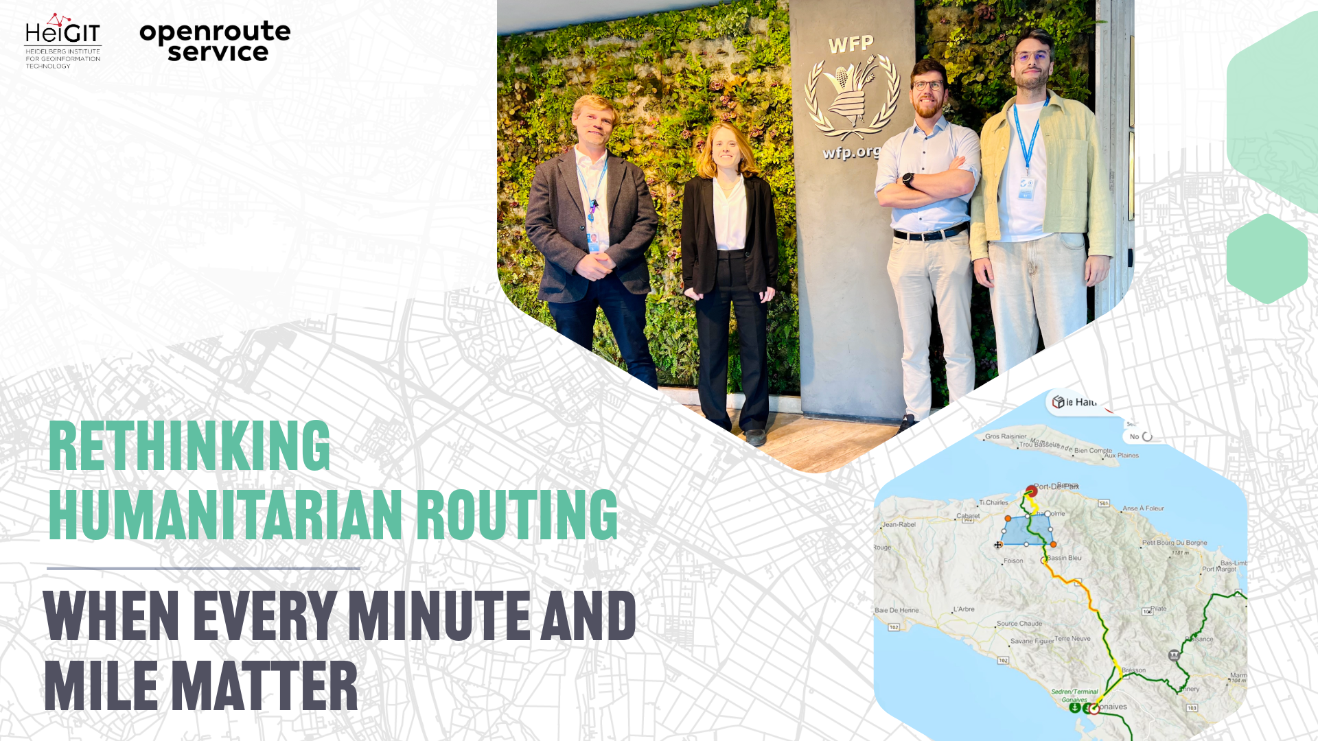
In our collaboration with the World Food Programme-led Logistics Cluster, we are bringing route planning functionalities to their interactive LogIE map using the Logistics Cluster information on current logistics infrastructure status, such as roads, bridges, airports, ports and border crossing points; information that humanitarian organizations depend on to deliver life-saving cargo.
Using OpenStreetMap and openrouteservice (ORS) as a foundation, we enable LogIE users to plan routes that automatically take into account the most current on-the-ground data. A proof of concept has been developed to show how this dynamic routing works in practice. Current status of closed borders, damaged bridges, or impassable roads are instantly factored into route planning, ensuring that humanitarian actors can coordinate transport more efficiently and avoid costly delays.
Outlook
This work represents the state of the art in integrating dynamic, mission-critical data and ongoing OSM mapping efforts into humanitarian routing. Looking ahead, we see vast potential in combining dynamic routing with predictive analytics. By learning from accumulated operational data, future systems could anticipate disruptions and shift from reactive to proactive logistics planning.
Questions? Reach out to Julian Psotta at Julian.Psotta[at]heigit.org to discuss potential collaborations or technical implementations.