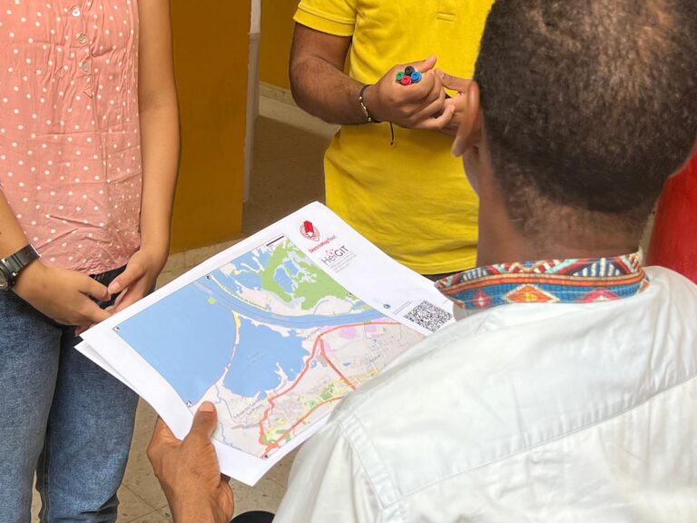
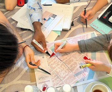
Im Juni 2025 führten Wissenschaftler*innen des Urban Big Data Centre (UBDC) und HeiGIT (Heidelberg Institute for Geoinformation Technology) eine gemeinsame Exkursionen nach Kolumbien durch, um dort die Zusammenarbeit für partizipative…
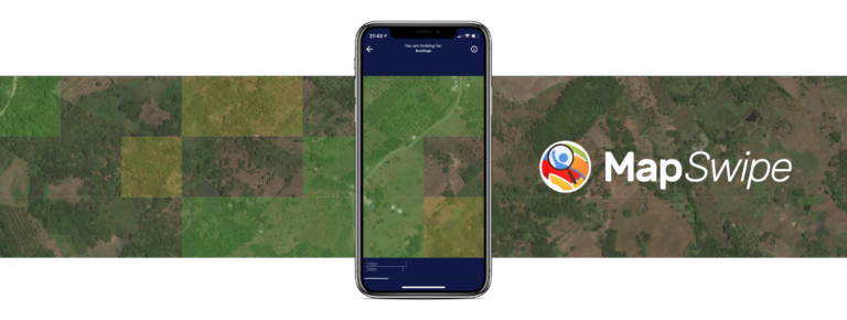
Die Crowdmapping App MapSwipe nutzt nun auch Straßenbilder. Diese neue Funktion ermöglicht Kartierungsprozesse, die eine hohe Präzision erfordern, wie beispielsweise die Erkennung von Müll auf der Straße. Die MapSwipe App…
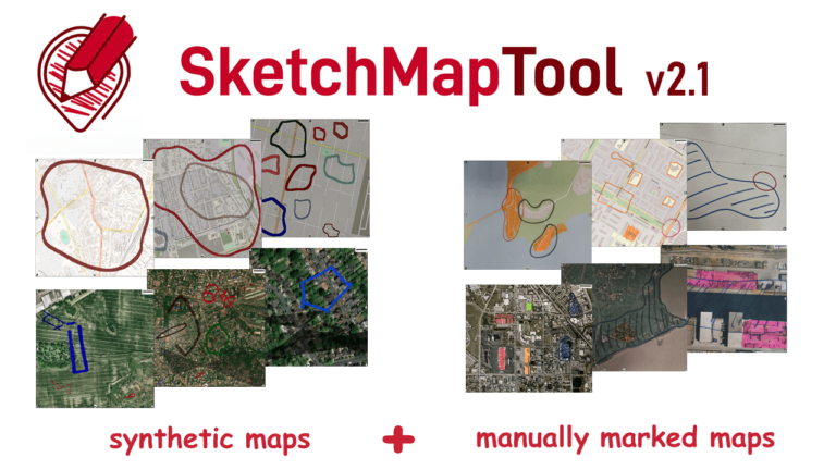
Die neu veröffentlichte Version des Sketch Map Tool v2.1 bietet eine höhere Genauigkeit bei der Digitalisierung von handgezeichneten Markierungen auf Sketch Maps. Dies ist möglich dank eines neuen größeren Training-Datensatzes…
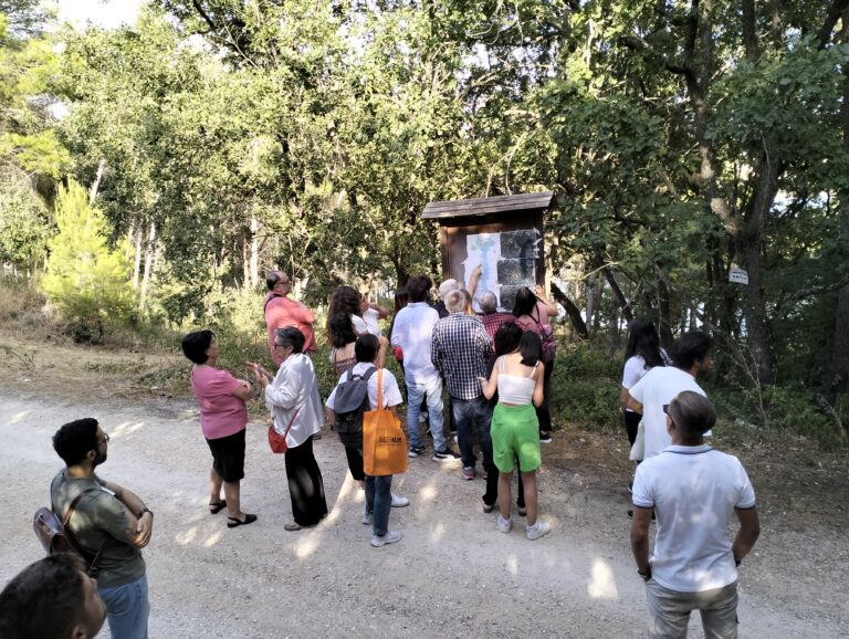
Claudio Sossio De Simone is a PhD candidate at the University of Rome Tor Vergata in the field of Cultural Heritage, Education and Territory. His research interests include GIS science…
Das Sketch Map Tool (SMT) geht dank Unterstützung durch das Deutsche Rote Kreuz (DRK) und das Auswärtige Amt in die nächste Projektphase. Unsere Hauptziele in dieser Phase sind es, neben…
Slums are an important operational area for humanitarian organisations: Because of provisional housing, poor sanitation and difficult socio-political circumstances offers of help from such organisations are important and often necessary….
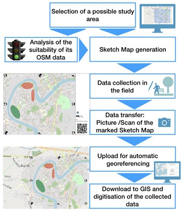
The Sketch Map Tool supports participatory mapping approaches and risk communication. An new paper presents the different functionalities of the tool. OSM data quality can be evaluated regarding the fitness…
These days so much is different- also conferences. Carolin Klonner and Marcel Reinmuth attended the GeOnG 2020 virtually. Thanks to the organizers! It worked well and there was great exchange…
Flooded parking area in Eberbach in January 2019 (Picture: C.Klonner) Worldwide, more and more people are affected by flooding. Local knowledge provides a valuable source of information for disaster risk…
A week ago, students from the seminar “User-Generated Geographic Data in Disaster Risk Management and Humanitarian Aid” carried out a survey about urban flood risk in Handschuhsheim. The “field day”…