Heute, am 1. Juli, feiert HeiGIT sein fünfjähriges Bestehen! Aus diesem Anlass laden wir Sie ein, gemeinsam mit uns einen kleinen Spaziergang in die Vergangenheit zu machen. Wir möchten den Partnern, Projekten und Menschen, die unsere Reise möglich gemacht haben, unseren tiefsten Dank aussprechen.
HeiGIT wurde offiziell 2019 gegründet, geht aber auf ein im Juli 2016 initiiertes Projekt der Universität Heidelberg zurück zum Aufbau des Heidelberger Instituts für Geoinformationstechnologie. Seit seiner Gründung wird das Projekt von der Klaus Tschira Stiftung gefördert, mit dem Ziel, geoinformatische Grundlagenforschung in praktische Anwendungen zu überführen. Die Projekte und Partnerschaften, welche HeiGIT in seiner Gründungsphase (2016-2019) eingegangen ist, legten den Grundstein für zukünftige Vorhaben. Von Anfang an haben wir eng mit der GIScience Research Group Heidelberg zusammengearbeitet, um die Kluft zwischen der Grundlagenforschung und den Problemen der Praxis zu überbrücken und in verschiedenen Projekten mit gemeinsamen Beiträgen beider Teams zusammenzuarbeiten.
Von Anfang an war unsere Mission, humanitäre Zwecke zu unterstützen, Datenlücken zu schließen und frei zugängliche Informationen zu verbreiten, klar. Im Jahr 2017 ging HeiGIT/GIScience eine langjährige Partnerschaft mit dem Humanitarian OpenStreetMap Team (HOT) ein und arbeitete gemeinsam an Projekten wie der MapSwipe-App, MapSwipe Analytics, einer neuen Version des Disaster Openrouteservice und der ohsome (OpenStreetMap History Analytics) Plattform. Im Jahr 2018 starteten wir OSMlanduse.org, eine Plattform, die einen umfassenden Landnutzungsdatensatz bereitstellt, welcher Daten aus OpenStreetMap und Satellitenfernerkundung zusammenführt. Im selben Jahr feierten wir das 10-jährige Bestehen von openrouteservice (ORS), einem Eckpfeiler unseres Teams für intelligente Mobilität. Eine Partnerschaft zwischen dem damaligen ORS-Team und dem Bundesamt für Kartographie und Geodäsie (BKG) wurde 2017 erstmals dokumentiert. Bis heute entwickelt unser Smart Mobility-Team in Zusammenarbeit mit dem BKG die ORS-Erweiterungen weiter.
Im Jahr 2019 wurde HeiGIT offiziell mit drei Schwerpunkten gegründet: Big Spatial Data Analytics, Smart Mobility und Geoinformationen für die humanitäre Hilfe. Projekte wie MeinGrün und TARDUR erweiterten openrouteservice, während andere Projekte wie Waterproofing Data, IDEAL-VGI und DEEP-VGI die ohsome API für Datenanalysen nutzten. Wir haben auch unser Ziel des Wissenstransfers vorangetrieben, indem wir den jährlichen Gipfel des Humanitarian OpenStreetMap Teams (HOT Summit 2019) und das jährliche internationale Treffen der OSM-Gemeinschaft, die Konferenz State of the Map 2019, ausgerichtet haben. Unsere Zusammenarbeit mit dem Deutschen Roten Kreuz, die 2019 begann, war ein wichtiger Schritt zur Unterstützung der humanitären Arbeit.
Im Jahr 2020 konnte HeiGIT trotz der globalen Herausforderungen durch die COVID-19-Pandemie weiter wachsen und seine humanitären und wissenschaftlichen Ziele vorantreiben. Infolge der Pandemie haben HeiGIT und das Universitätsklinikum Heidelberg die Map of Hope entwickelt, eine COVID-19-Forschungskarte, um Informationen über die Pandemie einem breiten Publikum zugänglich zu machen. Im Laufe des Jahres haben wir außerdem mehrere „Missing Maps“-Mapathons veranstaltet. Bei diesen Veranstaltungen können Freiwillige humanitäre Zwecke durch das Sammeln und Dokumentieren von Geodaten unterstützen. Ende des Jahres wurde HeiGIT offiziell Partner des Anticipation Hub, einer Plattform für den Wissensaustausch über vorausschauendes Handeln in der humanitären Hilfe und der Katastrophenvorsorge. Diese Zusammenarbeit verstärkte unseren Fokus auf die prognosegestützte Finanzierung (FbF), um Aufgaben wie die Erhebung lokaler Daten, die Bewertung historischer Auswirkungen und Risiken sowie die Entwicklung von Auslösern zu unterstützen. Ähnliche Initiativen folgten im Jahr 2021 mit einer ORS-Instanz, die sich auf Impfzentren konzentrierte, der Weiterentwicklung von Kartierungsaktivitäten und der Zusammenarbeit mit der humanitären Geospatial-Wohltätigkeitsorganisation MapAction.
In den folgenden Jahren hat HeiGIT seine Projekte weiter vorangetrieben und seine Dienste verbessert. Im Jahr 2022 hat das Smart Mobility Team das HeiGIT Disaster Portal entwickelt, das es humanitären Hilfsorganisationen ermöglicht, Einsätze zu planen und sich zuverlässig an die örtlichen Gegebenheiten anzupassen. Im Jahr 2023 haben wir das Sketch Map Tool offiziell eingeführt, ein Community-Mapping-Tool zum Sammeln von lokalem Raumwissen, das für die Katastrophenvorsorge und -bewältigung entscheidend ist. Im selben Jahr wurde die ohsome quality API (OQAPI), ein Tool zur Prüfung der Datenqualität im Zusammenhang mit freiwilligen geografischen Informationen (Volunteered Geographic Information – VGI), etabliert. Außerdem haben wir die Climate Action Platform eingeführt, um uns mit Fragen des Klimawandels zu befassen, und die UndercoverEisAgenten App zur Dokumentation des Auftauens von Permafrostböden gestartet.
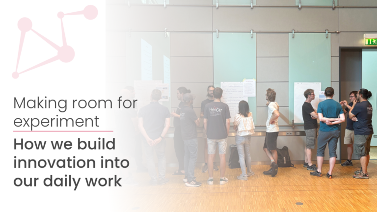
Diese kurze Zusammenfassung der Geschichte von HeiGIT ist keineswegs eine vollständige Dokumentation aller Projekte, Partner, Dienste und Anwendungen. Vielmehr soll sie einen kleinen Überblick darüber geben, wie „unser Gründungsprinzip – die Übertragung von Wissen und Technologie aus der geoinformatischen Grundlagenforschung in praktische Anwendungen – bis heute unsere Arbeit leitet“, wie der wissenschaftliche Geschäftsführer Alexander Zipf bekennt. Er betont weiter, dass „all diese Errungenschaften nicht möglich wären ohne unser außergewöhnliches Team, welches Forschung und Innovation im Einklang mit unserer Vision und Mission weiter vorantreibt. Es ist eine Ehre, von so vielen motivierten Menschen umgeben zu sein, die sich entschieden haben, Teil von HeiGIT zu sein und die unsere Werte von offenen Geoinformationen und Daten teilen.“
Abschließend danken wir der Klaus Tschira Stiftung für ihre kontinuierliche Unterstützung bei der Verwirklichung unserer Vision einer besseren Gesellschaft und Umwelt durch die Verbesserung offener Geoinformationen und Geoinformationstechnologien, insbesondere in den Bereichen humanitäre Hilfe und Klimaschutz.
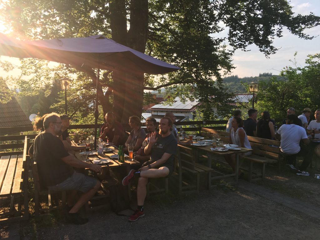
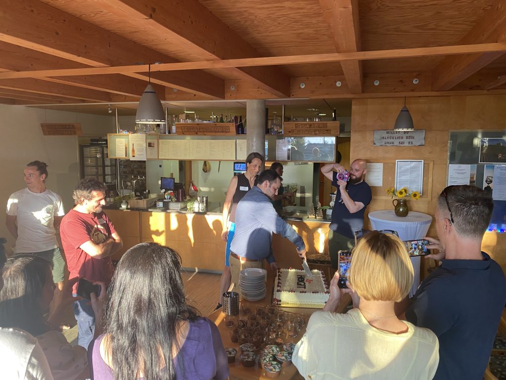
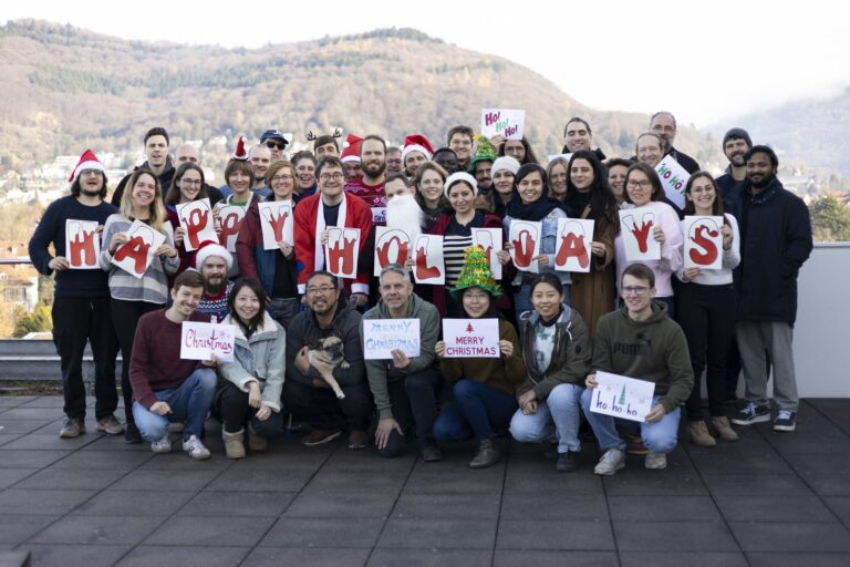
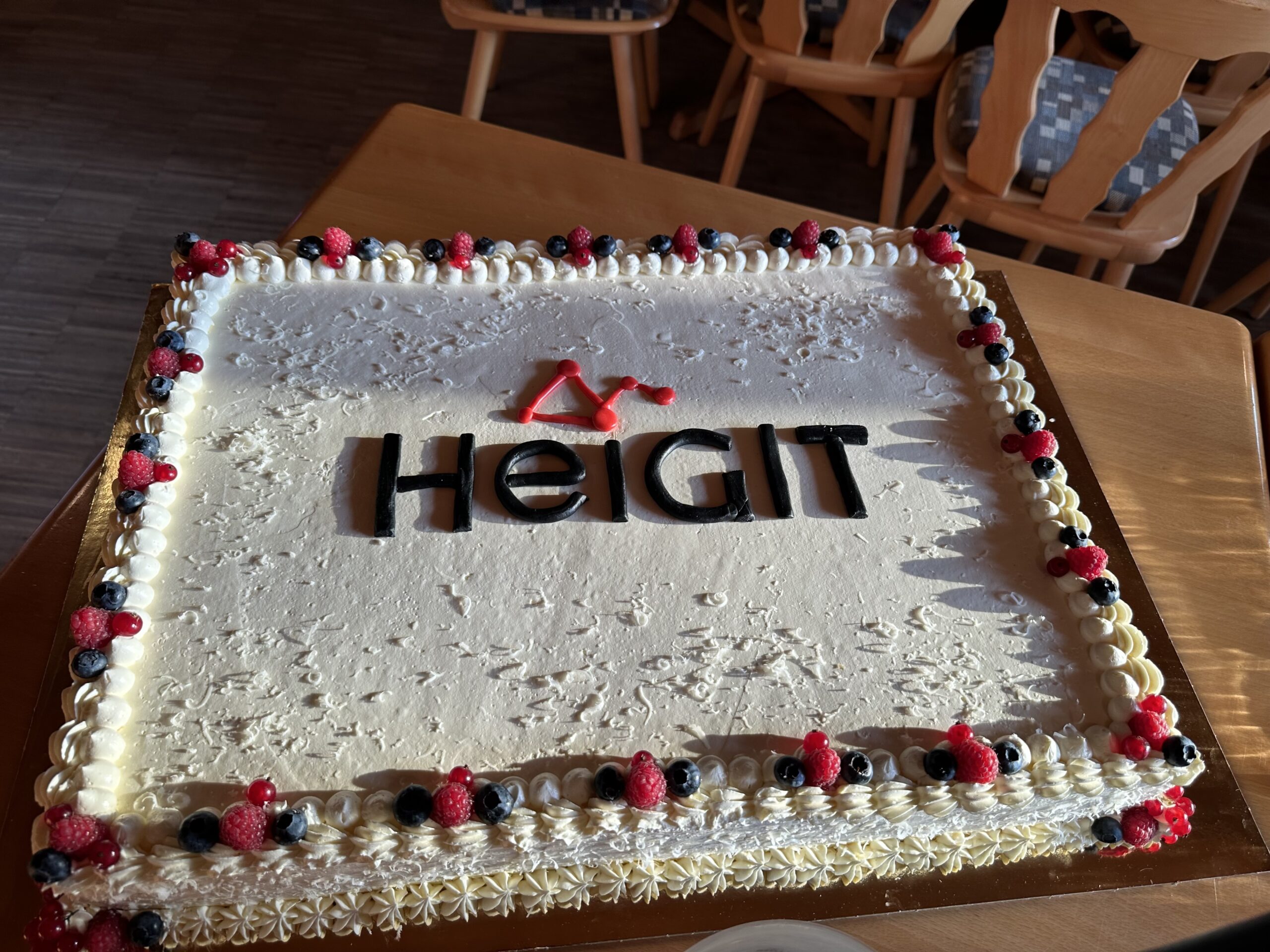
Und zuletzt ein paar Eindrücke von unserer fünfjährigen Jubiläumsfeier: