Skip to content
Who We are
About
Careers
Team
Organization
Contact
What We Do
Focus
Geoinformation for Humanitarian Aid
Smart Mobility
Big Spatial Data Analytics
Climate Action
What We Offer
Overview
Projects
Technology
Datasets
Workshop and Teaching Materials
Publications
Partner with us
Newsroom
Blog
Events
Press
EN
DE
Who We Are
About
Team
Careers
Organization
Contact
What We Do
Focus
Geoinformation for Humanitarian Aid
Big Spatial Data Analytics
Smart Mobility
Climate Action
What We Offer
Overview
Technologies
Projects
Datasets
Workshop and Teaching Materials
Publications
Partner with us
Newsroom
Blog
Events
Press
English
Deutsch
January, 2026
In category:
Geoinformation for Humanitarian Aid
Related tags:
Deutsches Rotes Kreuz
,
health
,
Humanitarian Mapping
,
Red Cross
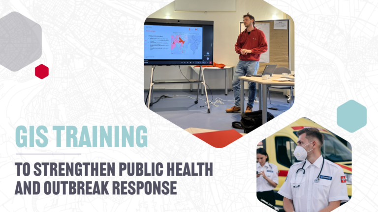
GIS Training to Strengthen Public Health and Outbreak Response
January 15, 2026
Geospatial analysis is critical for public health challenges such as an emergency outbreak response. With a pilot GIS training, we explored how health professionals and information managers can work together…
Read more