What do people need to enjoy walking and spending time in a certain place? What makes a road safe for cyclists?
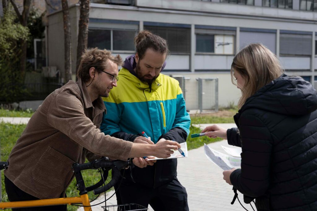
In our workshop “Karlsruhe neu erleben: Straßen checken, Mobilität gestalten!” (“Experience Karlsruhe in a new way: check the streets, shape mobility!”), participants can take to the streets with Sketch Maps and map a part of their city on foot or by bike – or take part in the mapping campaign from the workshop hall using the MapSwipe app.
This way, we actively collect data on the livability and bikeability of the city and discover together what could improve the urban infrastructure.
Participation is free of charge. As the number of participants is limited, it is strongly recommended to register in advance:
The workshop is organized by HeiGIT (Heidelberg Institute for Geoinformation Technology) in cooperation with the Karlsruhe City Planning Office and the ADFC Karlsruhe as part of the KIT Science Week 2025, a week full of science-oriented events organized by the Karlsruhe Institute of Technology (KIT).
The KIT Science Week combines a top-class scientific conference with events for the general public. Dialogic formats also enable an intensive exchange with citizens. At the KIT Science Week 2025, everything will revolve around the topic “City of the Future”: Smart cities, urban planning and architecture, sustainability, energy, mobility, digitalization and more.