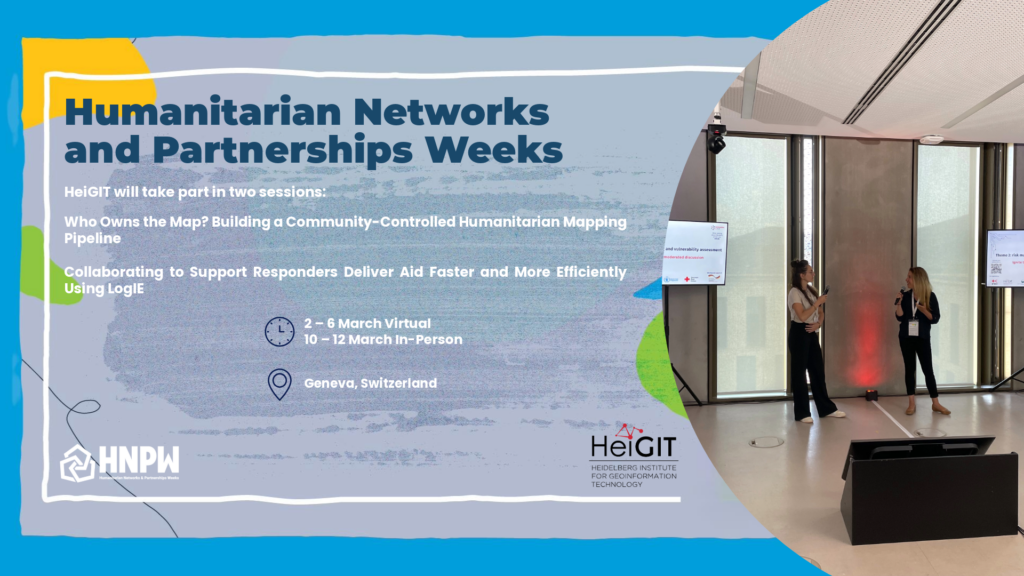
Session 1: Who Owns the Map? Building a Community-Controlled Humanitarian Mapping Pipeline
10 Mar 26; 11:00-12:30
Organizers: Humanitarian OpenStreetMap Team (HOT), WFP LogCluster, HeiGIT
Humanitarian response and preparedness increasingly depends on timely, high-quality geospatial data — yet the mapping pipeline, from imagery capture to decision use, is often fragmented and externally controlled.
This session presents an integrated, open-source ecosystem that enables communities to capture their own imagery, contribute remote and field data, apply human-in-the-loop AI, and transform that data into decision-ready maps and actionable data. Drawing on case studies including Indonesia, Madagascar, Colombia and Jamaica, we explore how end-to-end workflows can strengthen local ownership, increase operational efficiency, and reduce dependency in humanitarian contexts.
Participants will reflect on where bottlenecks and power imbalances persist in their own mapping systems and identify practical pathways towards locally led infrastructure.
Session 2: Collaborating to support responders deliver aid faster and more efficiently using LogIE
10 Mar 26; 14:00-15:30
Organizers: Humanitarian OpenStreetMap Team (HOT), WFP Log Cluster, HeiGIT
In this HNPW 2026 session, we’re getting straight to the point: organisations are already collaborating through LogIE. We’re not focusing on the needs or on challenges in a sector with shrinking resources and the need of collaborating more. Instead, we will show -through concrete examples- that this collaboration is real, active, and growing. And we are part of this change.
Years ago, the Logistics Cluster moved from static PDF logistics maps to LogIE: online interactive maps where humanitarian organisations exchanged information. Today, we are giving responders an optimised route based on shared data, knowledge and technology through LogIE. HeiGIT brings the algorithm behind, HOT brings the road‑mapping community, Kobo brings data collection tools, Zooniverse brings their community for data classification and mapping – and many more are joining to bring their piece so we can all support responders to deliver aid as fast and efficiently as possible.