
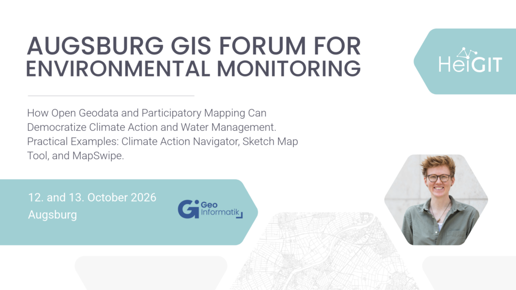
The 19th Augsburg GIS Forum for Environmental Monitoring will take place on 12–13 October 2026 in Augsburg. The event brings together experts from research, public administration, and practice to exchange ideas on current developments and applications in GIS, geodata analysis, and environmental monitoring. This year’s program focuses, among other topics, on water management and the use of satellite data and drones. HeiGIT will contribute a keynote showing, through practical examples, how open geodata can support climate action, water management, and citizen participation.
Keynote: How Open Geodata and Participatory Mapping Can Democratize Climate Action and Water Management. Practical Examples: Climate Action Navigator, Sketch Map Tool, and MapSwipe, 12 October, 12:45–13:30
Speaker: Christina Ludwig, HeiGIT
Data is never objective—every dataset views the world through a specific lens. Satellite and drone images show us the world from above, but how can we capture the knowledge and perceptions of local communities in data? In this talk, I’ll use three real-world examples to show how open geodata and participatory methods can help us do that.