HeiGIT is embarking on an initiative to address one of the most critical challenges of our time — climate change. We are proud to announce the commencement of the Climate Action Readiness Initiatives funded by the Klaus-Tschira Stiftung. These initiatives aim to bridge the gap between knowledge and action by providing decision-makers, citizens, and active members of society with the tools and know-how necessary to combat climate change effectively.
The Climate Action Project
The newly established Climate Action project group at HeiGIT, alongside existing teams dedicated to Smart Mobility, Geoinformation for Humanitarian Aid, and Big Spatial Data Analysis, is committed to advancing research and translating past climate action efforts into a practical platform. The primary objective is to empower stakeholders with the capability to research, plan, and execute concrete and effective actions against climate change.
Climate change has intensified to a point where its impacts are felt in daily lives and scenarios are getting increasingly dire, leading to a pressing need for actionable and effective measures. Whilst there is a huge body of scientific knowledge about the effectivity of different climate action measures, there’s a gap between this knowledge and putting this knowledge into action – despite the high willingness of stakeholders. Thus, the team is focused to bridge this gap by developing a platform that enables citizens, organizations, and decision-makers to plan and implement effective climate protection measures.
The Platform
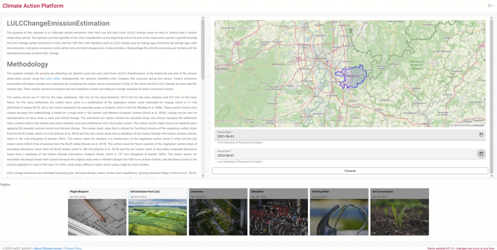
HeiGIT’s Climate Action Team is creating a comprehensive digital knowledge hub. This platform will provide a wide array of high-resolution climate protection indicators, including but not limited to air quality, bicycle infrastructure, and surface sealing. The indicators will be developed in close collaboration with partners and thus be tailored to the specific needs of the respective stakeholders, allowing for targeted action at regional and local levels.

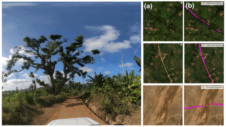
Utilizing diverse data and methods, the research group employs Volunteered Geographic Information (VGI) at the local level, where citizens contribute data themselves. Additionally, satellite data and machine learning are leveraged to cover a global scale, ensuring a holistic approach to climate protection.
Key Sectors and Indicators
The Climate Action Team will focus on critical sectors and indicators, including:
- Energy: Analyzing roof equipment with solar / photovoltaic panels
- Greenhouse Gas Emissions: Estimating local emissions and attributing them to specific sources
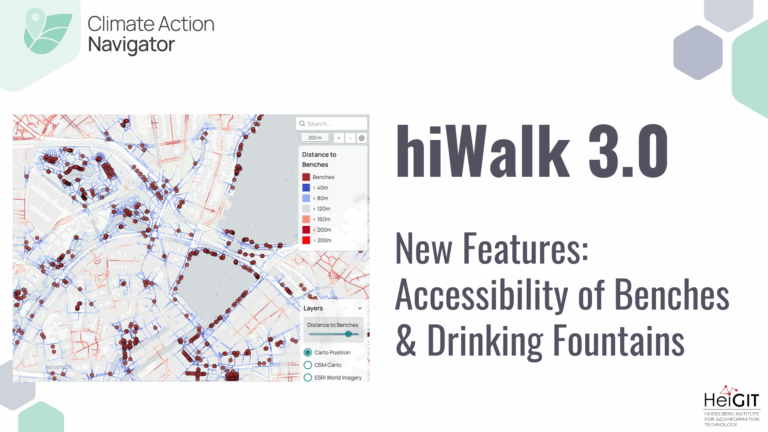
- Transportation: Assessing the quality, quantity, and connectivity of walking and cycling infrastructure, along with public transport availability
- Accessibility and Supply: Evaluating the accessibility of mobility, local supply, health, education, and recreation hubs within the framework of the “15-minute city” which is an urban planning concept in which daily necessities can be easily reached within 15 minutes, either by foot, bike or public transport.
Knowledge Base and Collaboration
The Climate Action team aims to build an extensive knowledge base by analyzing and processing data in a bottom-up approach. Visualization of results on an online platform will empower stakeholders to take well informed and calculated actions against climate change. Collaboration with national and international stakeholders, such as Scientists for Future as well as local planning offices, government agencies, and non-governmental organizations, is integral. Their requirements and feedback will shape the evolution of the platform over the five-year project duration.
Conclusion
The implementation of the Climate Action Team represents a crucial step forward in HeiGIT’s strive for a better society and environment. By bridging the gap between knowledge and action, the team’s efforts will empower decision-makers, citizens, and organizations to implement targeted and effective climate action measures. The upcoming online platform, backed by extensive research and collaboration, promises to be a valuable resource in the global endeavor to combat the impacts of climate change. The team is openly welcoming new partners, who share the spirit to act for a better future now.
For further information or collaboration inquiries, please contact Kirsten von Elverfeldt at kirsten.vonelverfeldt@heigit.org.
References
- Fritz, O., Auer, M., Zipf, A. (2021): Entwicklung eines Regressionsmodells für die Vollständigkeitsanalyse des globalen OpenStreetMap-Datenbestands an Nahverkehrs-Busstrecken. AGIT ‒ Journal für Angewandte Geoinformatik. 7-2021.
- Klonner, C., Usón, T. J., Aeschbach, N., Höfle, B. (2021): “Participatory Mapping and Visualization of Local Knowledge: An Example from Eberbach, Germany,” International Journal of Disaster Risk Science, vol. 12, no. 1, pp. 56–71, Feb. 2021, doi: 10.1007/s13753-020-00312-8
- Li, H., Zech, J., Hong, D., Ghamisi, P., Schultz, M., Zipf, A. (2022): Leveraging OpenStreetMap and Multimodal Remote Sensing Data with Joint Deep Learning for Wastewater Treatment Plants Detection. International Journal of Applied Earth Observation and Geoinformation, Volume 110, June 2022, 102804, https://doi.org/10.1016/j.jag.2022.102804
- Li, H., Herfort, B., Zipf, A. (2019): Estimating OpenStreetMap Missing Built-up Areas using Pre-trained Deep Neural Networks. Proceedings of the 22nd AGILE Conference on Geographic Information Science, Limassol, Cyprus.
- Ludwig, C., Hecht, R., Lautenbach, S., Schorcht, M., and Zipf, A. (2021): “Mapping public urban green spaces based on openstreetmap and sentinel-2 imagery using belief functions,” ISPRS International Journal of Geo-Information, vol. 10, no. 4, Apr. 2021, doi: 10.3390/ijgi10040251
- Martinez-Soto, A., Fürle, J., Zipf, A. (2023): Urban Heat Island Intensity Prediction in the Context of Heat Waves: An Evaluation of Model Performance. Engineering Proceedings. 39(1):80. https://doi.org/10.3390/engproc2023039080
- Schott, M., Lautenbach, S., Größchen, L. & Zipf, A. (2022): Openstreetmap Element Vectorisation – A Tool For High Resolution Data Insights And Its Usability In The Land-Use And Land-Cover Domain, Int. Arch. Photogramm. Remote Sens. Spatial Inf. Sci., XLVIII-4/W1-2022, 395–402, https://doi.org/10.5194/isprs-archives-XLVIII-4-W1-2022-395-2022
- Schultz, M., Voss, J., Auer, M., Carter, S., and Zipf, A. (2017): Open land cover from OpenStreetMap and remote sensing. International Journal of Applied Earth Observation and Geoinformation, 63, pp. 206-213. DOI: 10.1016/j.jag.2017.07.014.
- Ulrich, V., Brückner, J., Schultz, M., Vardag, S. N., Ludwig, C., Fürle, J., Zia, M., Lautenbach, S., Zipf, A. (2023): Private Vehicles Greenhouse Gas Emission Estimation at Street Level for Berlin Based on Open Data. ISPRS International Journal of Geo-Information. 12(4):138. https://doi.org/10.3390/ijgi12040138
- Ulrich, V., Schultz, M., Lautenbach, S., Zipf, A. (2023): Carbon fluxes related to land use and land cover change in Baden-Württemberg. Environ Monit Assess 195, 616. https://doi.org/10.1007/s10661-023-11141-9
- https://klimaschutzkarte.de/
- Recent blogpost on bikeability


