For three decades, the REAL CORP conference series has been at the forefront of exploring the profound impact of information and communication technologies (ICT) on urban and regional development. As we navigate an era of unprecedented change, marked by rapid technological advancements, evolving societal structures, and pressing environmental challenges, REAL CORP 2026 invites researchers, practitioners, experts, activists and policymakers to contribute to the discourse on “Cherish Heritage, Plan Now, Create a Better Future!”
Yes, we CAN! – Data Driven Decision Making with the Climate Action Navigator
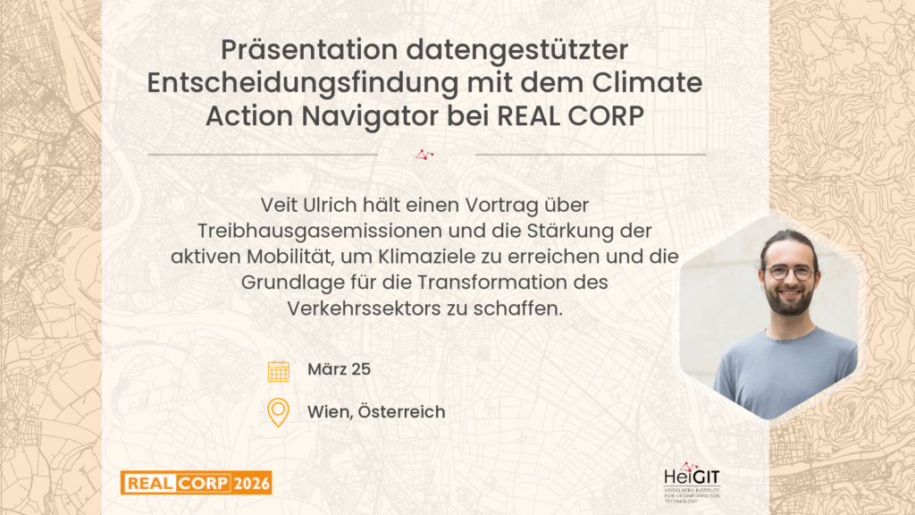
Speaker: Veit Ulrich
Auditorium 4
Session: Data Use in Spatial Planning II
Cities urgently need to reduce greenhouse gas (GHG) emissions and strengthen active mobility to comply with climate targets and build the basis for the transformation of the transport sector. To support evidence-based planning, we present the Climate Action Navigator (CAN), a co-created, data-driven dashboard designed to analyse urban environments by means of a broad set of spatial assessment tools. While CAN is neither the first nor only dashboard that builds on open data and open source software for monitoring urban climate action, its commitment to transparency, adaptability, usefulness, and usability makes it uniquely suited for NGOs, (small) municipalities, and citizen initiatives. CAN’s assessment tools are co-created with municipal partners, researchers and local stakeholders, and integrate heterogeneous datasets to offer a holistic and accessible dashboard to assist in decision-making. This is supported by the spatial resolution of our tools that reach down to the neighbourhood and even the street level. By visualising intuitive, interactive maps, the tools empower decision-makers to identify and compare intervention areas, finally supporting targeted, actionable insights.
The dashboard focuses on two core thematic areas: GHG emissions and active mobility. For emissions, CAN provides high-resolution estimates of heating- and traffic-related emissions as well as CO₂ budgets for selected cities. Because of data limitations, these tools are currently constrained to Germany. For mobility, it offers assessments related to walkability (hiWalk), bikeability (hiBike), and multimodal accessibility (transportability) globally. In addition, CAN utilizes deep learning models to detect land use and land cover (LULC) change and rooftop PV panels from remote sensing imagery, both again currently restricted to Germany. They allow for further CO2 emission estimation from LULC change and related benefits from renewable energy, providing insights of urban transitions.
With its intuitive interface, the Climate Action Navigator enables stakeholders to more effectively urge for climate action measures, prioritise interventions, and evaluate policy plans. This contribution presents our co-created assessment tools, with a focus on the tools related to GHG emissions, and illustrates how the dashboard strengthens data-driven policy-making and accelerates climate action at the urban scale.