The Role of GIS in Public Health
Public health efforts fundamentally consists in planning efficient healthcare systems that reach as many people as possible with an adequate level of care. Since people usually need to travel to health facilities, questions of access, coverage, and equity are inherently spatial. This applies not just to emergency outbreak responses, but also to long-term efforts such as planning mobile clinics, routine immunization, maternal health, and other community-level health interventions.
During an outbreak response, this spatial dimension becomes even more critical. Decision-makers need to understand very rapidly what is happening where, how an outbreak is spreading, and which areas are at risk of becoming affected next. Planning the response—such as where to prioritize interventions, how to allocate resources, or which populations may be cut off from care—is therefore, again, a geospatial problem. GIS provides the tools to take data-informed decisions, enabling practitioners to move beyond static maps and towards data analysis that directly inform action.
A GIS Training to Bridge the Gap between Data Analysis and Health Professionals
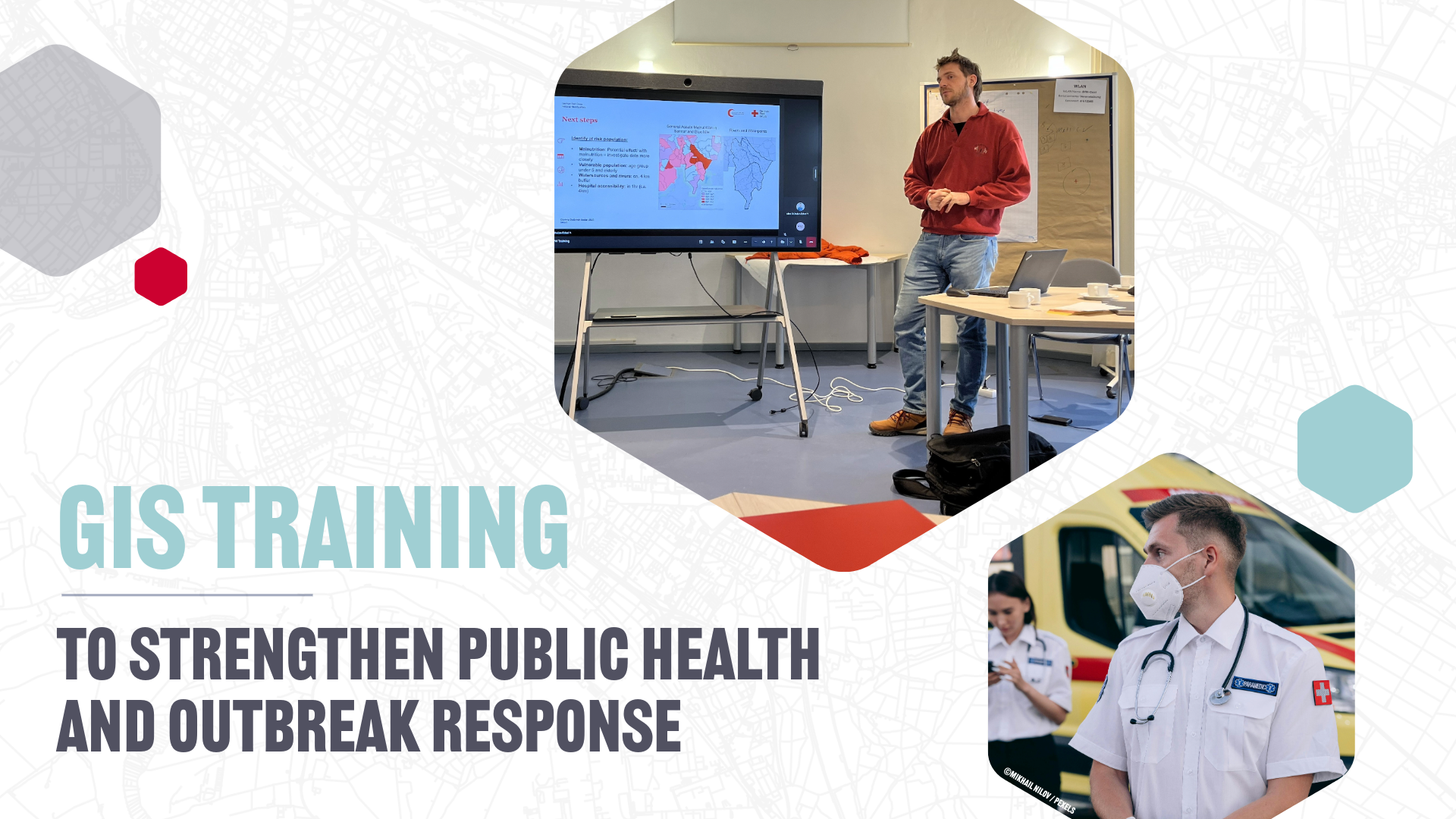
In December 2025, we held a GIS training course fucused on public health, with the primary objective to familiarize health professionals with GIS technology and bridge the gap between Information Management and Health Specialists.
The participant group intentionally included both health professionals and information managers, as one of the goals was to strengthen collaboration between these roles.
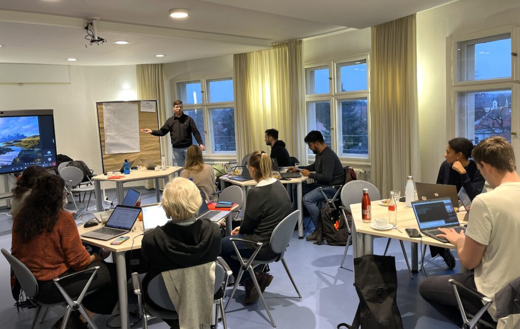
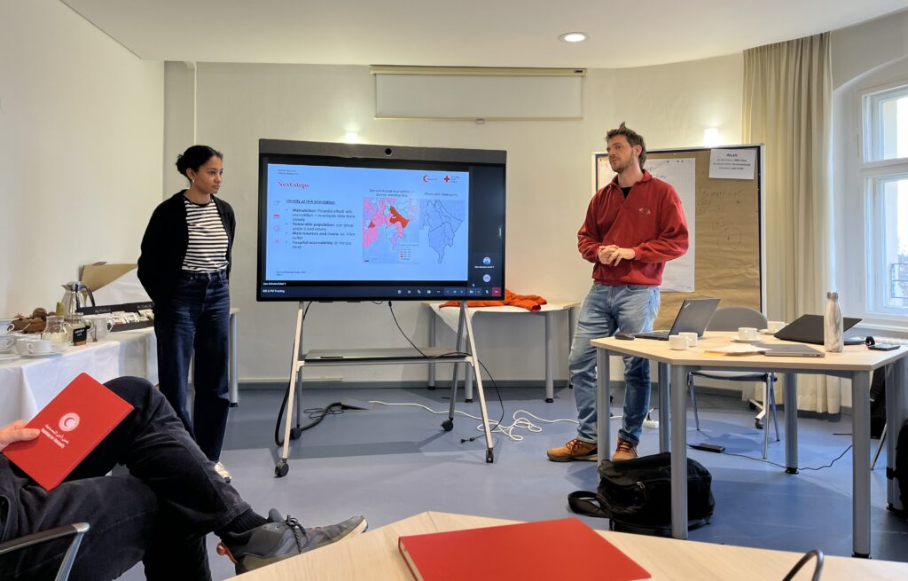
Over the course of four days, participants from the French Red Cross, Colombian Red Cross, German Red Cross (Health and Surge), and the Robert Koch Institute built practical, applied GIS skills for public health and outbreak response, with the help of two facilitators from HeiGIT.
The training was split into two parts:
- Two days of follow-along GIS training that covered core GIS concepts, datasets, and analytical workflows. Using a measles response in Chad as a case study, the group learned how to join non-spatial report data to administrative boundaries, to visualize outbreak trends and to calculate service areas for specific facilities.
- Two days of tabletop scenario exercises, in which a cholera outbreak was simulated. Participants were given a realistic outbreak scenario, datasets, and narrative updates. Their task was to analyze the situation and prepare a concise briefing for a humanitarian coordinator under time pressure and an evolving scenario.
Participants worked with real, key humanitarian and public health datasets, including OpenStreetMap, WorldPop, and data from HDX, and learned how to critically assess and combine these sources.
A strong emphasis was placed on accessibility analysis, for example to learn how population data, road networks, and travel time can be combined to assess access to health services.
Improving Operative Results Through Cross-Team Collaboration
This training improved collaboration between Health and Information Management staff. Health specialists gained a clearer understanding of what intermediate GIS analysis entails and why close collaboration with colleagues from Information Management is essential. At the same time, Information Managers developed a much better understanding of what information is operationally critical during an outbreak response and of the importance of timing, clarity, and relevance.
It was inspiring to witness the synergy between health professionals, who had just discovered the potential of GIS, and Information Management experts familiar with the methods. During the scenario exercises, it became very clear that when they work side by side, they can produce impressively high-quality results in a very short time.
Many health specialists reported that they now better understand the skill level required for GIS analysis and the added value it brings, as well as which questions and requests are realistic during an outbreak response. Conversely, Information Management participants highlighted a stronger understanding of health-sector priorities, helping them tailor analyses more effectively to operational needs. This underpins the value of joint, cross-disciplinary training rather than role-specific capacity building.
Next Steps & Training Materials
Designed as a pilot, this course will help shape eventual future trainings in this domain. We are planning on organizing more GIS trainings in the future, with an improved structure based on lessons learned and incorporating remote delivery formats.
In the meanwhile, the training material used during the first two days of the course is already publicly available on the IFRC Network GIS Training Platform:
- Public Health Outbreak and Preparedness training track: Exercise Track: Outbreak and Preparedness in the Public Health Sector — GIS Resource Training Center
- Additional operational mapping tutorials: 4.9. Operational Maps Tutorials — GIS Resource Training Center
The full dataset and storyline for the cholera outbreak scenario used in the tabletop exercise will be published soon.


