As the climate warms, permafrost is thawing around the world. As a result, frozen plant remains are degraded and greenhouse gases are released, further accelerating global warming. Permafrost, however, is not directly visible on the Earth’s surface and is therefore more difficult to monitor using satellite data than, say, sea ice and glaciers. UndercoverEisAgents want to make permafrost visible for this reason. It is a citizen scientist project in which students in Canada generate high-resolution drone images of the Arctic landscape. These images reveal frost pattern soils that allow conclusions to be drawn about changes in permafrost. The drone images are then analyzed by citizen scientists and students. In this way, the permafrost areas can be precisely mapped.
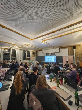
Now we offer you the opportunity to participate and get first insights into permafrost mapping. Take part in our Permafrost-Mapathon on May 8 at 6 p.m. in the Mathematikon, INF 205 (IWR), 5th floor!
In addition to exciting insights into the development of permafrost, we will also be visited by Moritz Langer from the Vrije Universiteit Amsterdam and the Alfred Wegener Institute. His Guest lecture “On the trail of global warming in the Arctic – causes and effects of thawing permafrost” will accompany the mapathon.
Snacks and drinks will be provided. We are very happy about your participation! Please bring a laptop or tablet.