This study investigates sugarcane farmland abandonment in Rio de Janeiro State, Brazil, employing spatial regression techniques to identify the biophysical and accessibility factors that determine where abandonment occurs at the local scale.
Cropland abandonment represents an agricultural land use change with significant socioeconomic and environmental implications. In Rio de Janeiro State, Brazil, sugarcane cultivation has experienced substantial decline since the late 1980s. Previous research has documented this trend at the administrative level, identifying underlying policy and economic drivers of abandonment. Subsequent work has mapped the spatial distribution of abandoned sugarcane areas through remote sensing analysis. Building upon these foundations, this study investigates the proximate biophysical and accessibility factors driving spatially explicit patterns of sugarcane abandonment in Rio de Janeiro State, Brazil.
The analysis employed a spatial regression approach to assess the relationship between sugarcane abandonment and various explanatory variables, including climatic conditions, topographic characteristics, and market accessibility indicators. The findings reveal that precipitation patterns exerted a strong influence on abandonment dynamics, with areas experiencing higher precipitation variability and lower average rainfall during both wet and dry seasons demonstrating greater susceptibility to farmland abandonment. Topographic constraints also played a significant role, as abandonment was concentrated in steeper terrain outside the coastal tablelands.
Market accessibility, operationalized as road network distance to active sugar mills, showed a significant positive association with abandonment rates, indicating that remoteness from processing facilities contributed to cultivation cessation. Contrary to initial hypotheses, several factors failed to demonstrate significant relationships with abandonment patterns. Neither the presence of protected areas as institutional constraints nor Euclidean distance to roads and river channels exhibited detectable effects on sugarcane abandonment in the study region.
These results contribute to understanding the proximate causes of agricultural land use change in Rio de Janeiro State and highlight the particular vulnerability of sugarcane cultivation to water availability constraints in the Norte Fluminense region. The spatial approach employed bridges the gap between macro-level identification of abandonment extent and underlying socioeconomic drivers, providing insight into the local-scale environmental and logistical factors that mediate where cropland abandonment occurs within a broader regional trend.
Reference: de Castro, P. I. B., Lautenbach, S., & Vicens, R. (2026). Predisposing factors of sugarcane abandonment in Rio de Janeiro: Exploring policy implications. Land Use Policy, 160, 107845. https://doi.org/10.1016/j.landusepol.2025.107845
Related work:
de Castro, P. I. B., Yin, H., Junior, P. D. T., Lacerda, E., Pedroso, R., Lautenbach, S., & Vicens, R. S. (2022). Sugarcane abandonment mapping in Rio de Janeiro state Brazil. Remote Sensing of Environment, 280, 113194.
Castro, P., Pedroso, R., Lautenbach, S., Vicens, R., 2020. Farmland abandonment in Rio
de Janeiro: Underlying and contributory causes of an announced development. Land
Use Policy 95, 104633.
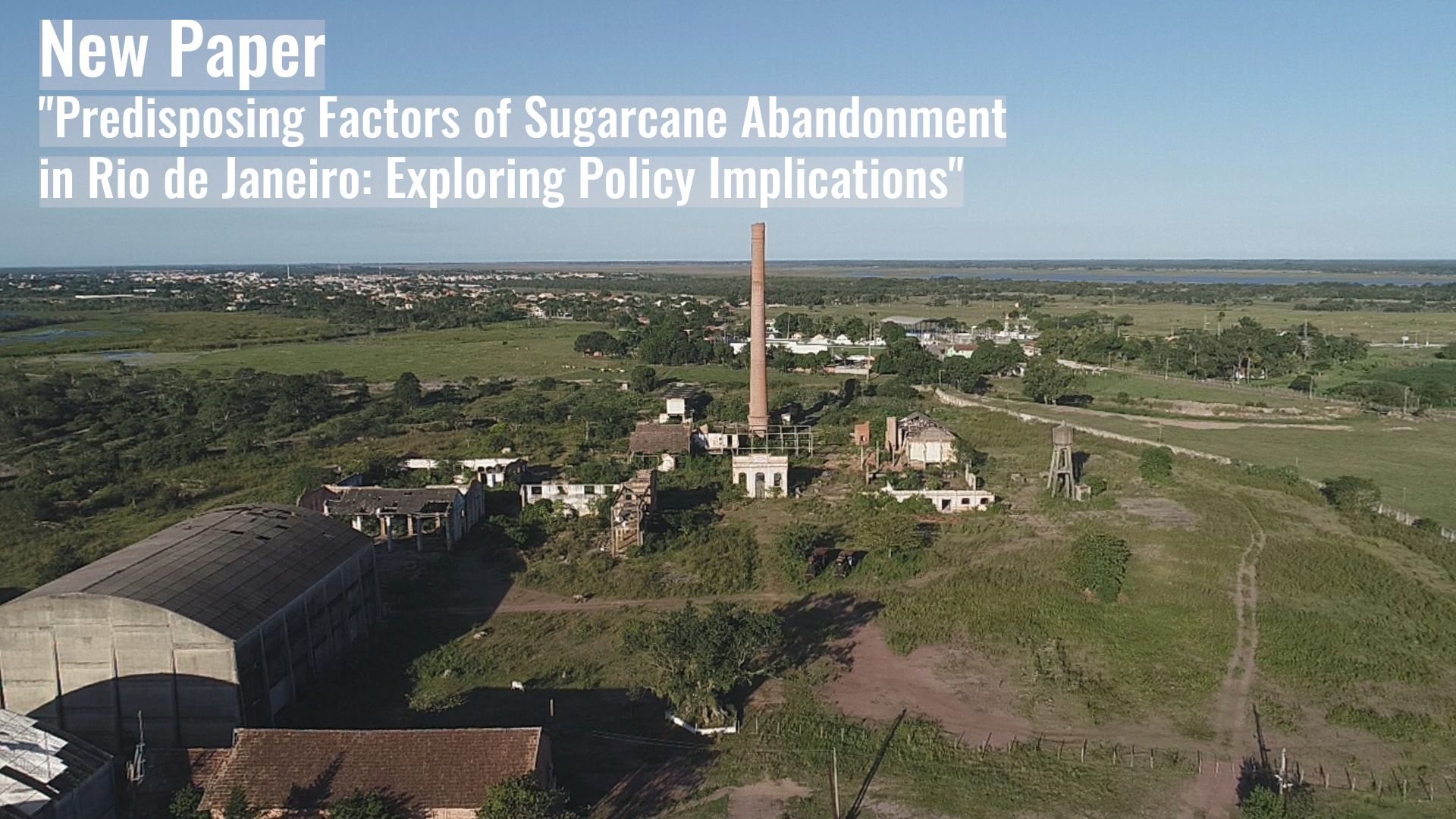
Image: An abandoned sugar mill in the region of Rio de Janeiro, reflecting the decline in sugarcane cultivation and the resulting closure of mills. © Pedro Bastos de Castro