The project aims to improve the mobility of senior citizens by developing an empirically informed and validated routing system tailored to their needs. The age-friendly Silver Ways are used to create a 15-Minute Neighborhood Index, which focuses on senior-friendly walking routes rather than conventional shortest-path methods.
The project begins by mapping walking routes for older adults in three urban areas across different countries. These routes are enriched using open GIS data and street view imagery, incorporating attributes such as slope, green space visibility, and sidewalk quality. Route choices are then modeled using an econometric approach to quantify trade-offs between attributes like distance and elevation.
The resulting weights from the econometric model are applied to a routing system designed specifically for older adults using the openrouteservice platform. We validate the system in urban living labs, where older adults participate in interactive city walks to evaluate both shortest and recommended routes. Their feedback is then used to refine the system, ensuring it better aligns with user preferences and enhances future routing designs.
The project culminates in the development of the Silver 15-Minute Neighborhood Index, which evaluates the accessibility of essential services like healthcare, shopping, and parks through age-friendly walking routes. In collaboration with municipalities, this index is meant to co-design planning solutions that improve senior accessibility and mobility in urban environments.
To enhance the walkability and overall quality of urban environments for older adults through targeted, evidence-based urban planning and technology solutions.
Silver Ways focuses on diverse urban settings across three countries: Mannheim in Germany, Uppsala in Sweden, and Kayseri in Turkey. Findings from each city are synthesized to develop broader insights and solutions that enhance walkability and accessibility for older adults across varied European contexts.
The Silver Ways project is inherently interdisciplinary, combining geographic information science, urban studies, and behavioral economics, with participants from the Heidelberg Institute for Geoinformation Technology (HeiGIT), the GIScience Research Group of Heidelberg University, the TdLab Geography of Heidelberg University, Department of Human Geography, Uppsala University and Departmant of Economics, Abdullah Gül University, Turkey.




The project “Silver Ways: Integrating a Walkable Navigation System with a 15-Minute Neighborhood Index to Enhance Mobility for Older People,” funded through the 2023 Driving Urban Transitions call under the 15-Minute City Pathway, is a pioneering initiative in adaptive mobility solutions for the elderly. Its innovation lies in the unique integration of walkable navigation with the 15-minute neighborhood concept, enhancing mobility and accessibility for older populations.



Dr. Philipp Boura Kadel

Dr. Kenny Jansson
Hamdi Elcuman
Prof. Dr. Alexander Zipf
apl. Prof. Dr. Sven Lautenbach
Dr. Nir Fulman
Dr. Yulia Grinblat
Dr. Maria Martin
Dr. Christina Ludwig
Johannes Huber

Dr. Kathrin Foshag
Prof. Marina Toger

Prof. John Östh
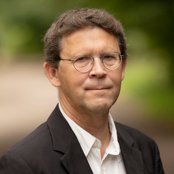
Prof. Jan Amcoff
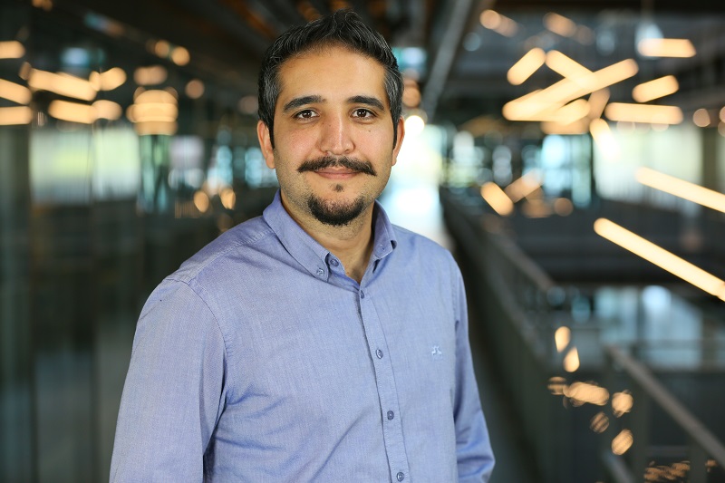
Prof. Umut Türk
Prof. Burak Asiliskender

Prof. Armağan Teke Lloyd
The Silver Ways project is an international research initiative that…
The Silver Ways project aims to make it easier for…
Walking supports healthy aging, but older adults often prioritize safety…
The Silver Ways project aims to make footpaths in Mannheim…
The 15-minute city concept is gaining traction in urban planning,…