With 2024 drawing to a close, we reflect on a year filled with events, accomplishments and opportunities to make a positive impact. Halfway through the year, we celebrated HeiGIT’s fifth anniversary—a moment to appreciate how far we’ve come and everything we’ve accomplished together. From our early days to the milestones of 2024, our growth sets a strong foundation for many more milestones in the years ahead.
This year, many of our colleagues got to publish research papers, attend conferences and connect with partners and communities. We want to celebrate not just the contributions of each HeiGIT team member but also the incredible support and shared vision of our partner organizations. Your collaboration continues to drive our mission forward—thank you! A special thank you goes to Klaus Tschira Stiftung for their continued funding, which makes our work possible.
Since Christmas is right around the corner, we continued our tradition of making donations to non-profit organizations. This year, we’ve donated to OBDACH e.V., supporting their efforts in providing aid and shelter to those in need.
Now, let’s take a moment to revisit some of the many milestones we reached in 2024. From welcoming new team members and partners to advancing established technologies, launching exciting projects, and publishing impactful results, it’s been a memorable year.
Celebrating Key Milestones
- January marked the introduction of GeoPrompt, our proof-of-concept application integrating AI with geoinformation, and the launch of OhsomeNowStats, an interactive platform for visualizing OpenStreetMap (OSM) mapping activity. Officially launched in January, the Climate Action Team remains dedicated to turning research into actionable climate insights. The Climate Action Dashboard is set to launch in spring 2025—stay tuned!
- In February, as part of the GeoAI4Water II project, we developed a deep learning model to detect critical infrastructure, such as wastewater treatment plants, in disaster scenarios.
- By March, we collaborated with the World Bank on geospatial assessments to empower women in the renewable energy sector. Openrouteservice supported accessibility analyses, enabling efficient routing and access assessments. Additionally, we released Sketch Map Tool 2.0, enhancing participatory mapping with offline data collection and georeferencing capabilities.
- In April, during GeoNight 2024, HeiGIT and Mannheimer Mapathons hosted a mapathon that contributed to mapping over 1,000 buildings in Lebanon. The event also showcased the new ohsomeNow stats live mode, providing real-time visualization of mapping progress.
- In May, our team participated in the Explore Science event. At our pavilion, visitors of all ages became “UndercoverEisAgenten,” investigating the impacts of thawing permafrost.
- In June, the Climate Action team made a big step ahead, introducing the walkability index. The index was co-developed with experts from PLANUM and aims to support urban planning for sustainable and pedestrian friendly cities. openrouteservice (ORS) contributed to the EU-Projekt Gitterzellendatenbank, which aims to improve equal living conditions in urban and rural areas by providing detailed information on the reachability of essential facilities.
- In July, we celebrated our 5th anniversary! The month also saw the official launch of the HEAL app, co-developed by HeiGIT, the GIScience Group and TdLab at Heidelberg University. Powered by ORS, the app provides tools for heat adaptation strategies.
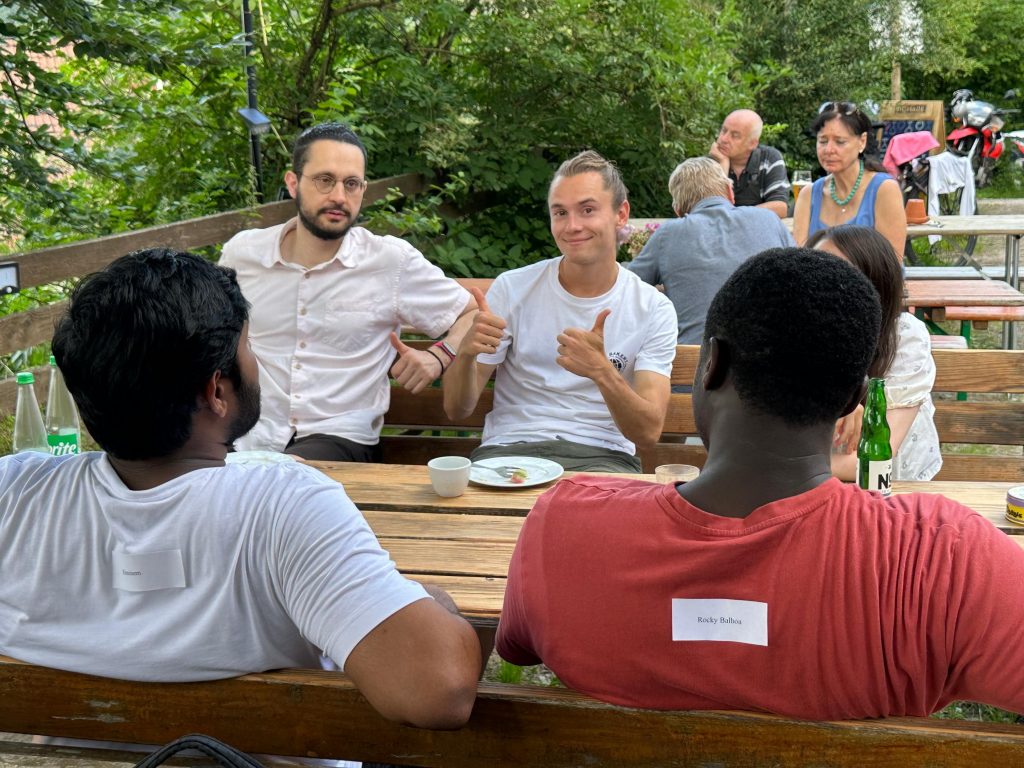
- In August, OpenStreetMap (OSM) marked its 20th anniversary. The wealth of data provided by OSM has been a cornerstone of our services and research, driving our efforts to enhance its usability and expand its impact. Adding to the month’s highlights, Steffen’s research on mosquito-borne disease monitoring was published in Nature Scientific Reports, representing a major step forward in public health and disease control.
- September was rich with scientific publications, research visits, and insightful conferences. A standout highlight was our participation in the State of the Map conference in Nairobi.
- In October our focus on events continued. At the Global Dialogue Platform on Anticipatory Humanitarian Action, we discussed Anticipatory Action (AA) and the role of AI. Meanwhile, Kirsten showcased our latest walkability index research at Walk21.
- November brought exciting milestones. A visit from our partners at the German Red Cross provided an opportunity to reflect on our shared efforts to enhance humanitarian aid using innovative geoinformation tools. We also celebrated the major release of our open global road surface dataset (paved/unpaved), created using 105 million images from Mapillary, the world’s largest crowdsourced street-view platform.
- In December, we launched openrouteservice version 9.0.0, codename “Europa,” introducing Ukrainian translation, enhanced hazardous materials routing, bug fixes, and significant updates for users running their own instances. We also supported the Malagasy Red Cross with a Risk Assessment on Cyclones in Madagascar, focusing on accessibility measures and delivering in-person training.
It’s a wrap! With so many conferences, research trips, new projects, and major releases, it wasn’t easy to pick and choose highlights. Keeping up with such a fast-paced year has been a challenge—but a rewarding one. Here is to another year, filled with exciting collaborations and breakthroughs.
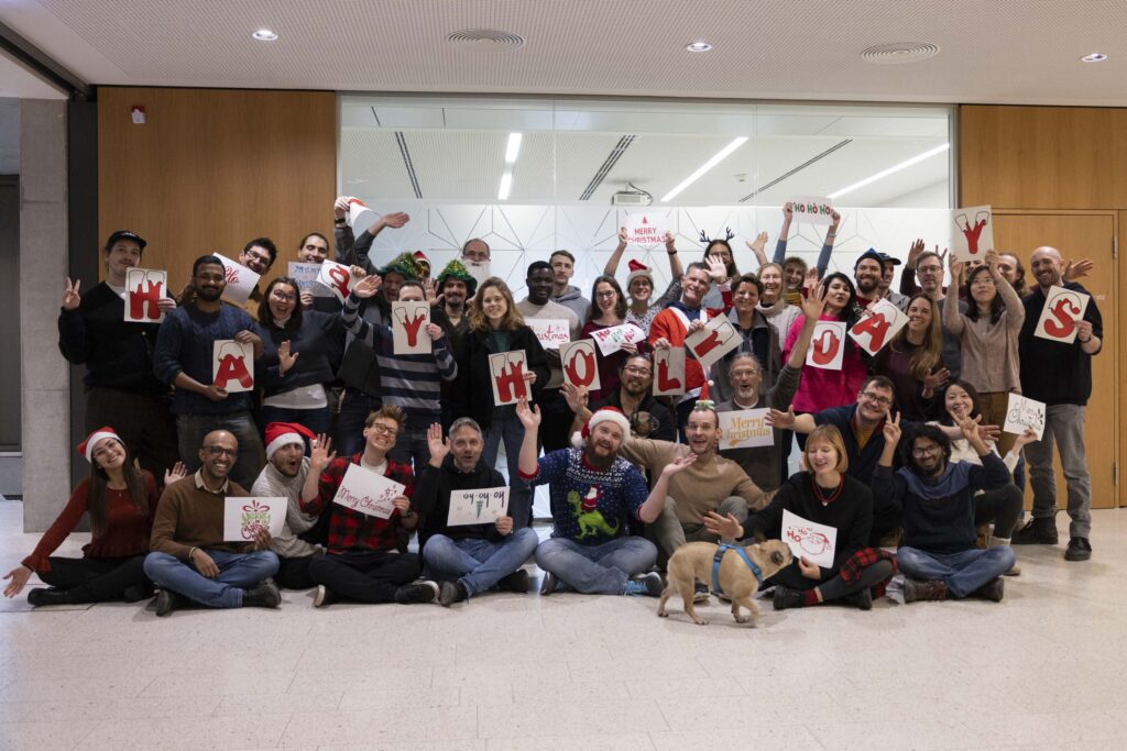
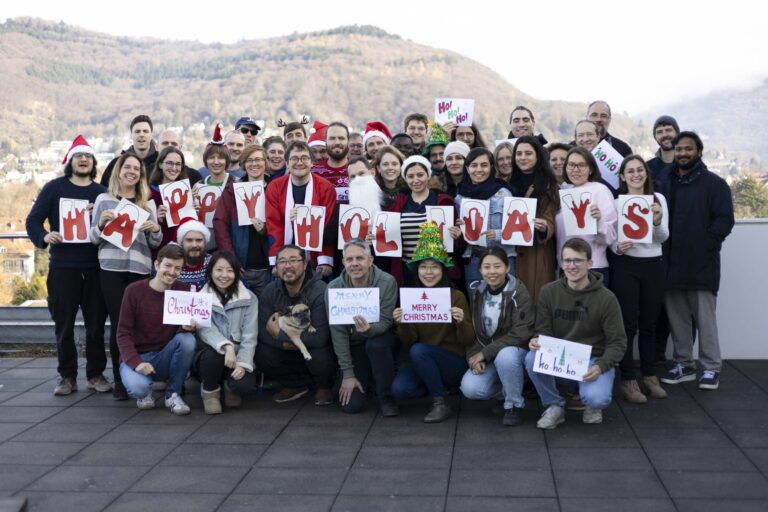
Merry Christmas and Happy New Year!

