Skip to content
Who We are
About
Careers
Team
Organization
Contact
What We Do
Focus
Geoinformation for Humanitarian Aid
Smart Mobility
Big Spatial Data Analytics
Climate Action
What We Offer
Overview
Projects
Technology
Datasets
Workshop and Teaching Materials
Publications
Partner with us
Newsroom
Blog
Events
Press
EN
DE
Who We Are
About
Team
Careers
Organization
Contact
What We Do
Focus
Geoinformation for Humanitarian Aid
Big Spatial Data Analytics
Smart Mobility
Climate Action
What We Offer
Overview
Technologies
Projects
Datasets
Workshop and Teaching Materials
Publications
Partner with us
Newsroom
Blog
Events
Press
English
Deutsch
December, 2025
In category:
Geoinformation for Humanitarian Aid
Related tags:
Sketch Map Tool
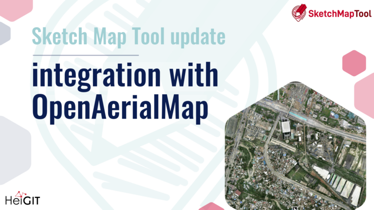
OpenAerialMap integration with the Sketch Map Tool launches a new way of Mapping
December 16, 2025
The latest update to the Sketch Map Tool introduces a direct integration with OpenAerialMap (OAM), making it easier to bring drone and aerial imagery into community and humanitarian mapping….
Read more