The FOSSGIS-Conference 2026 is the main yearly event for the German-speaking open geospatial community. It brings together users, developers, researchers, and practitioners to share ideas, experiences, and the latest developments in Free and Open Source Software for GIS and Open Data. The conference centers on real-world uses and the future of open geospatial technologies. Topics include webmapping, spatial data infrastructures, geodata management, geoprocessing, spatial analysis, modeling, and desktop GIS. The event also addresses the value of free geodata, such as OpenStreetMap, and covers broader issues, including digital sovereignty, Open Science, and the FAIR principles, which focus on transparency, accessibility, and responsible data use in the geospatial field.
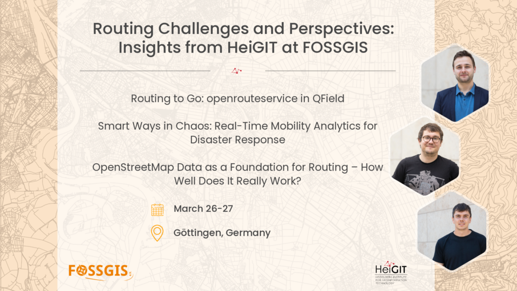
Routing to Go: openrouteservice in QField
Thursday, March 26, 09:05, HS4 (ZHG 008)
Speakers : Julian Psotta and Till Frankenbach
Routing directly in the field: ORStools and QField bring openrouteservice to mobile devices – an outlook.
The ORStools plugin for QGIS has been around for over seven years and is an established way to access openrouteservice directly from QGIS. It connects to the openrouteservice API to provide routing, isochrones, matrix calculations, and other geodata-related services.
Since June of this year, basic routing functionality has also been available in QField via a dedicated plugin, enabling route calculations for various profiles while on the go.
This presentation demonstrates the current capabilities of the QField plugin: from a freshly installed QField to the creation of a pedestrian route – and provides an outlook on future developments.
Smart Ways in Chaos: Real-Time Mobility Analytics for Disaster Response
Friday , March 27, 11:10, HS3 (ZHG 009)
Speaker : Julian Psotta
Our approach combines OpenStreetMap, real-time data from field missions by an international aid organization, current flood data from GloFAS, and additional road information from ML methods in routing graphs from Openrouteservice. This allows aid organizations to adapt their mobility analyses in crisis situations in near real time or simulate scenarios without compromising performance or scalability. All components are open source and open data.
In disaster and crisis situations, conditions often change within hours: destroyed bridges, flooded roads, or new safety risks directly affect the efficiency and safety of relief operations. Conventional routing approaches, even those based on regularly updated OpenStreetMap data, have not been able to respond quickly enough to such dynamic changes. If, for example, a bridge collapses overnight or a previously safe route becomes impassable, there is often a lack of mechanisms to incorporate current information from the field operations of aid organizations and local communities directly into routing and analysis decisions.
Our approach closes this gap by integrating real-time data from field missions directly into the routing analysis. In cooperation with an international aid organization, a system was developed that processes information on prioritized routes and the passability of bridges, roads, and border crossings, as well as the impact of flooding worldwide, in near real time. This data is first synchronized in a central database, matched with the underlying routing graphs, and the resulting weightings are stored. Running Openrouteservice instances then access these updated weightings and dynamically adjust their route calculations to the current situation. The user is then able to weight the new mission data as they see fit. And all this without compromising performance or scalability. Even large-scale graphs can be updated efficiently, so the approach remains applicable worldwide.
OpenStreetMap Data as a Foundation for Routing – How Well Does It Really Work?
Friday, March 27, 10:10, HS3 (ZHG 009)
Speakers: Benjamin Herfort and Benjamin Würzler
HeiGIT and BKG are investigating how the quality of OSM data influences routing decisions. Using the ohsome quality API, the completeness, attribute accuracy, and timeliness of the data are analyzed and linked to routing comparisons between Openrouteservice, Google Maps, Bing Maps, and Apple Maps. The results show robust OSM performance and provide practical insights into the use and evaluation of OSM data for routing.
“Is it even possible to route reasonably with OSM data?”
“How much does OSM data quality influence the result?”
“And how do OSM-based routing services compare to Google Maps?”
We encounter such questions time and again when we talk about OSM-based routing services such as Openrouteservice (ORS) and try to convince new users to use them. Often, these are questions that cannot be answered quickly or universally. The Heidelberg Institute for Geoinformation Technology (HeiGIT) and the Federal Agency for Cartography and Geodesy (BKG) are therefore investigating how OSM data quality actually affects routing decisions and what influence completeness, attribute accuracy, and timeliness have.
The study uses the open source tools of the ohsome quality API to derive various extrinsic and intrinsic quality indicators of routing-relevant OSM data from different countries. The completeness of geometries and attributes, as well as the timeliness of the available data sets, are examined and the results are compared.
In addition, we carry out routing comparisons between the Openrouteservice and commercial providers such as Google Maps, Bing Maps, and Apple Maps, relate the differences to the previously determined quality indicators, and gain exciting insights. There are already significant differences between the commercial services, and OSM-based approaches deliver surprisingly robust but also insightful results. Particularly interesting aspects include realistic travel time estimates without real-time data and the importance of current data sets for routing decisions.
In our presentation, we will share the results, insights, and open questions from this study. We will discuss the conclusions that can be drawn from this for the practical use of OSM data for routing and show how the ohsome quality API, as a freely available tool, can help to better understand data quality.
For more information, click here.