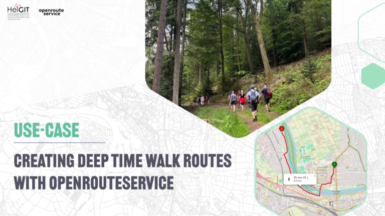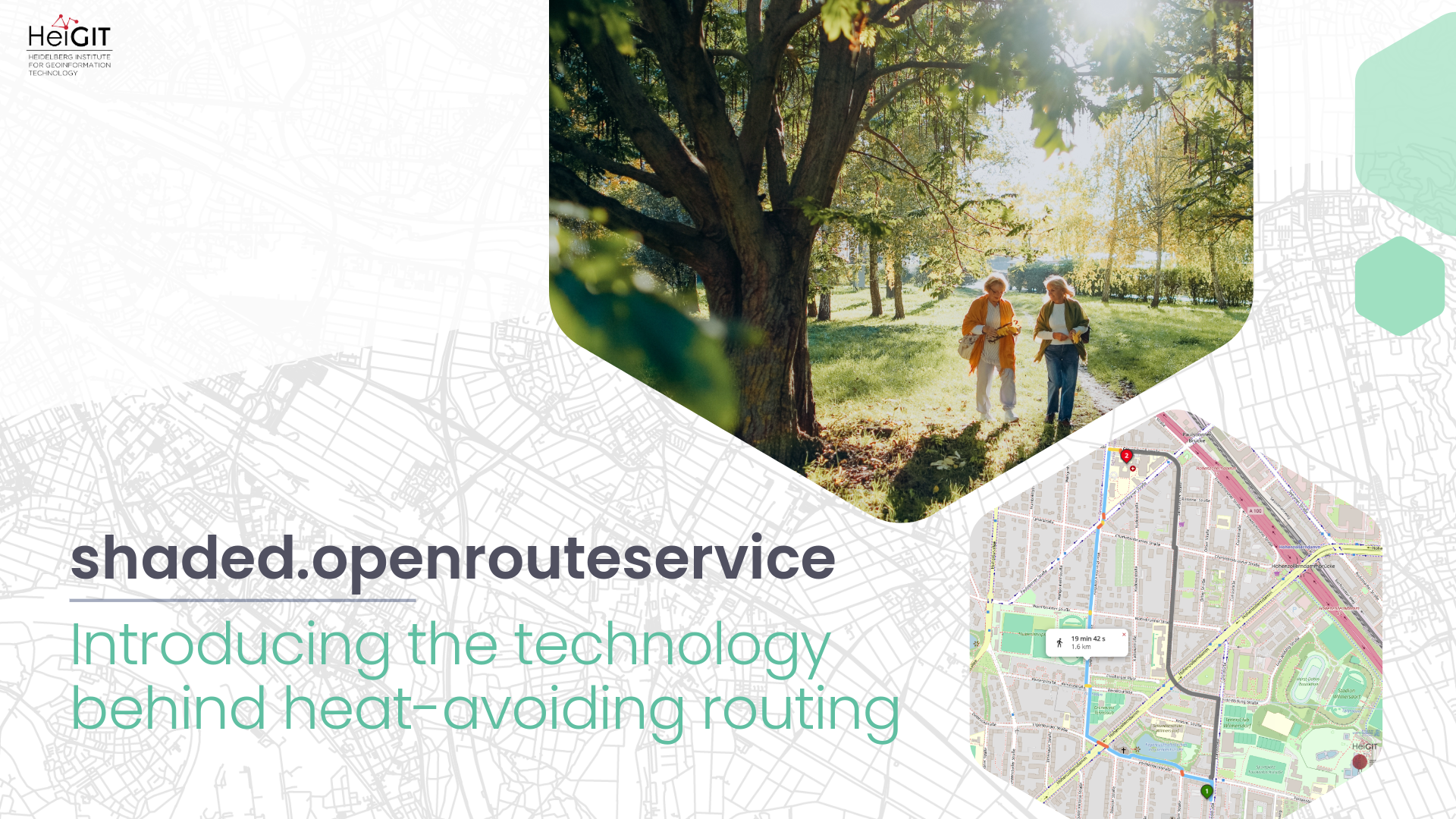
The origin
In 2021, HeiGIT, the GIScience Research Group, and TdLab Geography launched HEAL (Heat Adaptation for Vulnerable Population Groups) – a transdisciplinary research project funded by the Baden-Württemberg Stiftung under their “Innovations for Adaptation to Climate Change” program. The project team developed a heat-stress-avoidant routing application to support citizens, especially vulnerable groups and tourists during extreme heat.
The first version of the routing application launched in Heidelberg in the summer of 2024, in 2025 Worms, and Walldorf followed suit. The original application combined near-real-time sensor data with shadow modelling. While accurate, the approach depended on physical sensor infrastructure installed in specific locations. Extending the approach to cities with different data availability as well as scaling the approach required new technical overhaul.
Breaking the scaling problem
The solution was to move to fully deterministic shadow modelling, calculating shade from geodata alone rather than relying on sensor input. In theory, this removed the hardware dependency entirely. In practice, the early algorithm took hours to days to process shadow data for a single city the size of Heidelberg. At that speed, processing 80 cities was out of reach. That’s why solving the scaling problem required rethinking the processing pipeline.
The new pipeline draws on three data sources: Digital Surface Models (DSM), which capture the height of everything above ground, including buildings and trees; Digital Terrain Models (DTM), which represent the bare ground surface. The routing itself runs on openrouteservice, HeiGIT’s open-source routing engine, with OpenStreetMap data as the underlying road network. The Solar Index is applied as a custom weighting factor, steering the engine towards cooler, shaded alternatives.
The computational breakthrough came through a high-performance Rust library built specifically to simulate physical light blockage across DSM and DTM data. Rust’s processing speed made national-scale calculation feasible. A Dagster pipeline orchestrates the data processing across all 80 cities, handling the heterogeneous input data flexibly and reliably.
Shadows are pre-calculated rather than generated on demand. The sun’s precise azimuth and elevation are calculated for each month from May through August at four daily intervals — 9am, 12pm, 3pm and 6pm. Pre-calculation keeps frontend performance fast while handling the computational load in advance.
Each road segment receives a Solar-Exposure-Index, calculated as 1 minus mean shade, which the routing algorithm uses to weight paths and calculate cooler alternatives. The system distinguishes between two types of shade: structural and vegetation shade, where sunlight is physically blocked by buildings or trees, and overhead cover, such as underpasses or covered walkways. These are treated separately because they describe different thermal conditions at ground level.
The resulting value is stored per road segment and used by a custom routing weighting. That weighting converts the segment’s Solar-Exposure-Index into a routing cost, and the router uses this cost to influence path selection. A user-defined factor can increase or decrease how strongly this solar-exposure cost affects the final route.
The result is a routing system that requires no physical infrastructure in a city, draws entirely on openly available geodata, and can be extended to any city where DSM, DTM and OSM data exist. The current release covers all 80 German Großstädte across all 16 federal states, as well as Worms, Walldorf, and Neckargemünd from the original HEAL pilots.
What’s next?
The heat-avoiding routing application is already freely accessible: shaded.openrouteservice.org. To further adapt it to the application to the individual needs of cities and communities, HeiGIT is actively looking for collaboration partners. Cities that already have sensor or temperature data could have it integrated into the platform, producing routing and analysis that not only reflect shadows but also their local climate structure. Cities without existing data can contribute by defining what they require and, therefore, shaping the roadmap.
If you are working on urban heat adaptation and want to explore what shaded routing could do for your city, reach out to us: heal[at]heigit.org