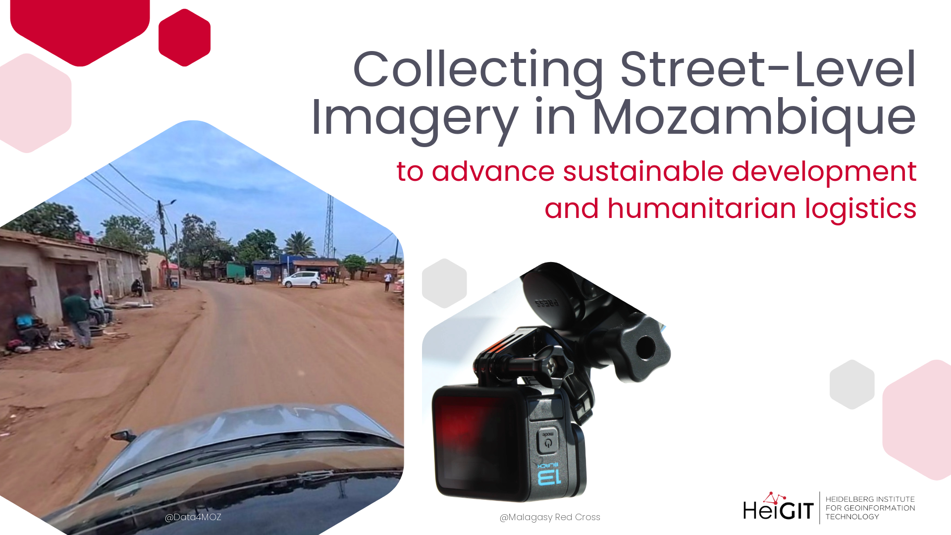
Data4MOZ and HeiGIT have entered into a collaboration on the collection and processing of street-level imagery in Mozambique to advance humanitarian logistics and sustainable development in Mozambique and beyond. This partnership combines Data4MOZ´s field experience in generating data for sustainable development in Mozambique with HeiGIT´s technical capacity and expertise in open-source geospatial technology.
Within this collaboration, Data4MOZ will collect street-level imagery using 360-degree cameras during its ongoing field activities, which include collecting data for flood and cyclone hazard management in Mozambique. The imagery will be uploaded to and managed via an experimental Panoramax instance run by HeiGIT. The collected street-level imagery has great potential to be used for research, computer vision model development, and technical experimentation in humanitarian geospatial applications.
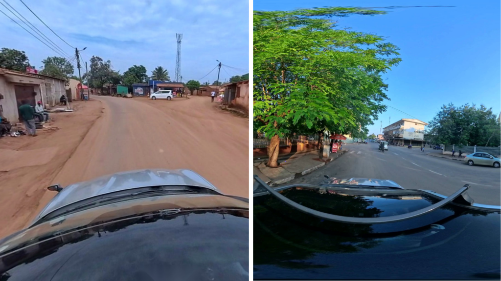
One direct application of the street-level imagery from Mozambique roads will be to enrich and further develop HeiGIT´s AI Logistic Awareness System (AILAS): a weather-adaptive, AI-supported routing system for regions with unpaved roads.
Reliable road planning is essential to logistics operations in regions with many unpaved roads, which heavy rainfall can quickly render impassable, increasing the risk of delays and blockages. To address this, we are developing the AILAS routing system, which uses a convolutional neural network trained on street-level imagery to classify road passability, combining these classifications with dynamic data such as rainfall and soil moisture to predict road conditions.
After a first project phase in Madagascar, the AILAS routing model can now be further expanded with local street-level imagery from Mozambique and field expertise by Data4MOZ. We look forward to this collaboration not only to expand data collection, but also to shape the AILAS unpaved road routing in order to truly align with local requirements and constraints.