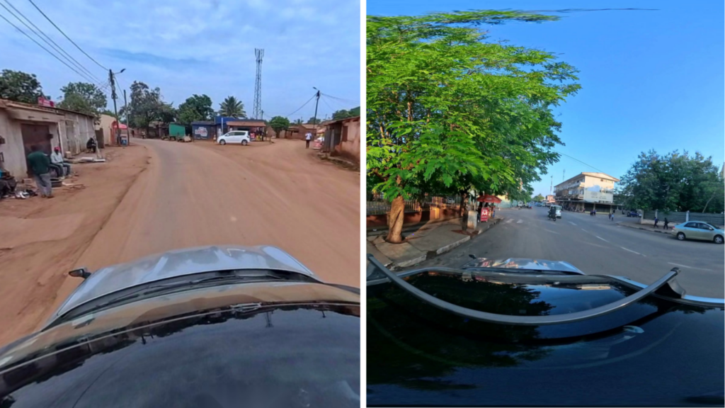
Humanitarian logistics often depend on unpaved roads that heavy rainfall can turn impassable overnight, leaving planners without reliable information on where vehicles can actually travel. Our AI Logistic Awareness System (AILAS) is set to help planners see which roads are passable now and and predict how they will be in a few hours or days. By combining AI analysis of street-level imagery with rainfall and further environmental data (e.g. terrain, soil moisture, landcover etc.), it makes logistics planning easier and more reliable.
A weather-adaptive routing system for unpaved roads
Reliable logistics planning must account for uncertainties, especially in humanitarian aid, where logistics form the backbone of almost all operations. In humanitarian missions, particularly in regions with few paved roads, access often depends on the condition of unpaved routes. Heavy rainfall can rapidly turn these into impassable tracks, and without reliable, up-to-date information on road conditions, planning becomes highly uncertain. This increases the risk of delays and failed operations where aid is nedded most.
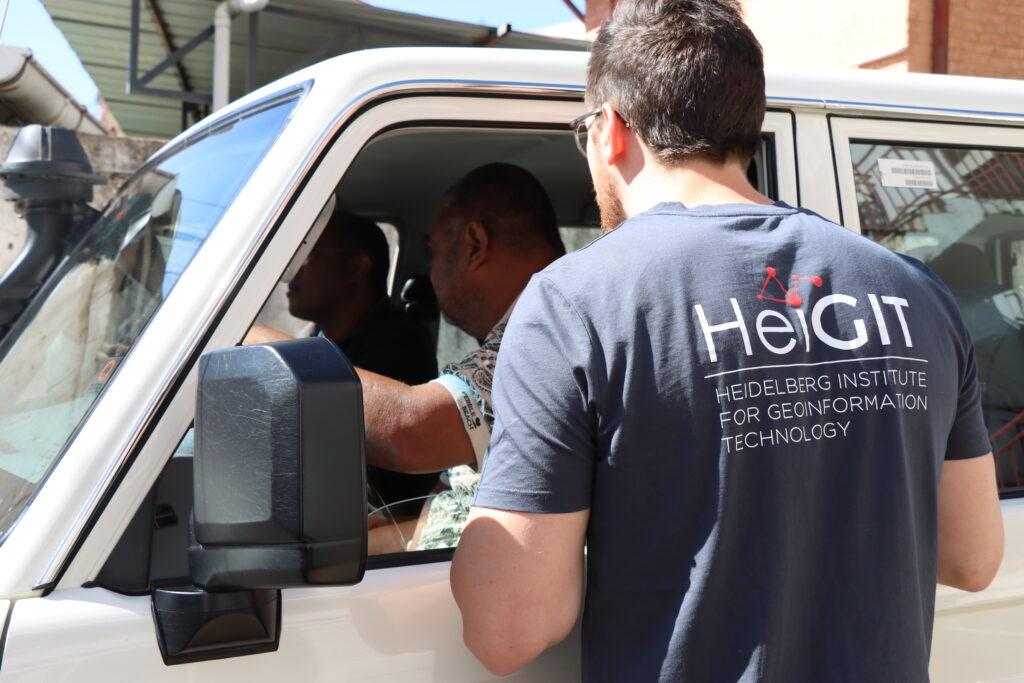
Photo: Data4MOZ
Reliable logistics planning must account for uncertainties, especially in humanitarian aid, where logistics form the backbone of almost all operations. In humanitarian missions, particularly in regions with few paved roads, access often depends on the condition of unpaved routes. Heavy rainfall can rapidly turn these into impassable tracks, and without reliable, up-to-date information on road conditions, planning becomes highly uncertain. This increases the risk of delays and failed operations where aid is nedded most.
Photo: Data4MOZ
To address these challenges, we are developing AILAS, a weather-adaptive, AI-supported routing system for regions with unpaved roads (any roads without sealed surfaces such as asphalt, concrete, or paving stones).
AILAS employs multiple AI based computer vision models trained on street-level imagery to classify the passability of road segments at a given time. These classifications are combined with dynamic secondary data, such as rainfall and soil moisture, within a predictive model that predicts current road conditions using globally available geodata. The resulting assessments feed into routing software, enabling logistics planners to create dynamic routes that reflect both the current and anticipated passability of unpaved roads.
Project vision
Field Work
Image Validation
Integration
Analysis
Assessment
Operational Integration
Collecting street-level images
Street-level image data is initially collected using dashcams mounted on Croix-Rouge Malagasy (CRM) emergency vehicles along documented routes in Madagascar, the project’s pilot region. To broaden spatial coverage and reduce the need for extensive on-site data collection, additional imagery from the open-source platform Mapillary is integrated.structured way. All the data is then transferred to a database, and we meticulously assess its quality in terms of resolution, currentness, and more. At this point, we can precisely identify data gaps. These are addressed in the next step.
Classification of the passability of street-level images using a deep learning model
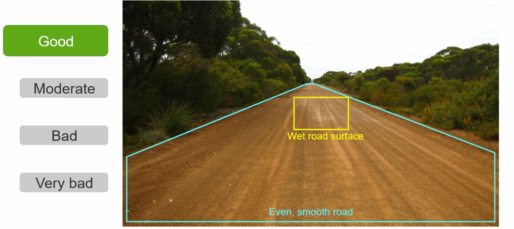
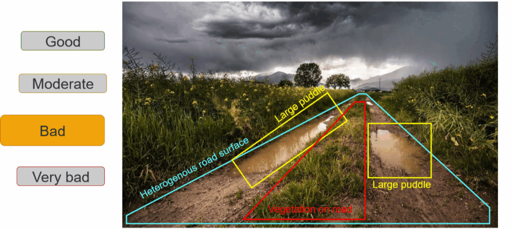
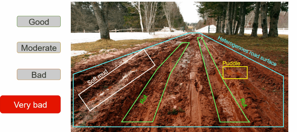
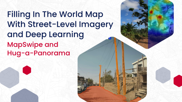
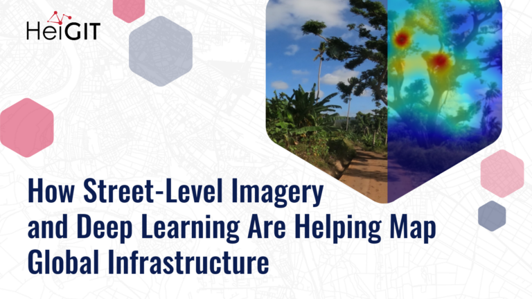
The captured street-level imagery (SLI) serves as the foundation for a convolutional neural network (CNN) that classifies road passability. Training data for the model is annotated through the crowdsourcing platform MapSwipe, which assigns different passability categories (e.g., “moderate” or “poor”). Quality assurance is ensured through expert validation carried out by the Croix-Rouge Malagasy.
Blending and temporal coupling with secondary data
The road surface attribute classifications derived from the imagery are coupled with globally available secondary datasets. Dynamic data includes frequently updated raster datasets such as precipitation and soil moisture, while static data comprises time-invariant environmental characteristics.
Determining Passability with a Probabilistic Model
In this step, statistical analysis investigates the predictive relationship between the secondary data and the classified attributes. On this basis, a predictive model predicts the relevant attributes at specific points in time, using dynamic weather and static inputs. With sufficient SLI coverage, the model can extend predictions to the entire unpaved road network, including sections without direct image data.
From road attributes to vehicle-specific passability
A relationship between the road attributes and vehicle-specific passability is established. This relationship defines how a given combination of surface type, wetness, roughness and damage translates into the passability of a road segment, and it is derived separately for each vehicle type, using a structured expert assessment. Applying this relationship to the classified and predicted attributes yields a graded passability value per road segment and vehicle type, ranging from unrestricted travel through varying degrees of delay to complete impassability.
Integration into openrouteservice and deployment
In the final step, passability estimates are integrated into openrouteservice. Impassable or restricted roads are either excluded or penalized, and the adjusted unpaved network is connected to the broader transport system for practical routing. Integration is automated on a daily basis and made accessible through a web-based dashboard and an API.
Target audience
Photo: Malagasy Red Cross
The AILAS routing service wants to address potential users across various application fields:
Logistics departments in humanitarian organizations
Planners responsible for infrastructure and road development and maintenance
Municipal and governmental institutions
Commercial actors in industry and agriculture
Funding
This project has been supported and partly funded by the Federal Ministry for Economic Affairs and Climate Action (BMWE) on the decision by the German Bundestag.
Outlook
With this pilot phase, we expect to test our methods in Madagascar. To scale the system to other regions, we aim to secure additional funding.
The system is expected to be applicable beyond the humanitarian sector. Anticipated use cases include assessing road passability under extreme conditions, which is of high relevance for economic logistics and infrastructure planning. The information generated could help prioritize the expansion of road segments particularly vulnerable to weather-related degradation. Further demand is expected in the transport of goods for extractive industries such as mining and forestry, which often rely on unpaved roads.
Looking ahead, the system could also be extended through simulation-based climate change scenarios. This would allow projected shifts in precipitation patterns or extreme events such as flooding, along with their possible impacts on the passability of specific road segments, to be meaningfully integrated into the system.