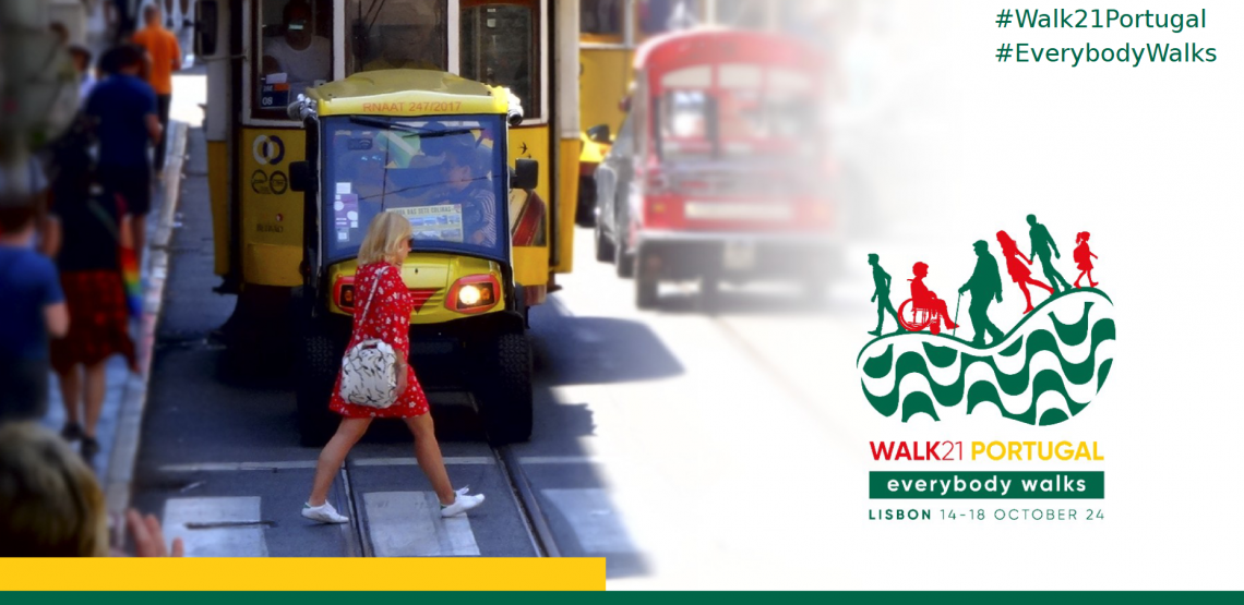
Recently, our colleague Kirsten von Elverfeldt attended the Walk21 Conference in Lisbon, an inspiring event dedicated to reimagining cities by transforming car-centered spaces into active, livable, and vibrant environments for people. The conference was filled with innovative ideas and strategies from around the world, showcasing how urban mobility can improve quality of life.
One standout talk “Beyond the Pavement: Empowering Women Through Walking Projects” was held by Ms. Sarika Panda Bhatt, Director of Nagarro and their Founder and Trustee. She emphasized the need to reclaim streets for people, highlighting the Janpath redesign in New Delhi. This project not only reduced road crashes and fatalities but also created safer, more accessible spaces for vulnerable groups, with features like cycling lanes, street lighting, and bioswales.
Urban Planning vs. Climate Mitigation
While urban innovations focused on walkability are transforming cities into more pedestrian friendly spaces, there is an increasing need to actively incorporate climate mitigation strategies into these projects. Many initiatives presented at the conference aimed at promoting sustainable mobility often overlook comprehensive climate considerations.
The 2022 report of the Intergovernmental Panel on Climate Change (IPCC) underscores the need for swift action on greenhouse gas emissions and highlights building walkable mixed-use communities as a key strategy in combating climate change. However, the disconnect between urban design initiatives and direct climate action remains a reality. While walkability projects aim to reduce car dependency and emissions, they frequently overlook the environmental impact of construction materials. According to UNEP, the buildings and constructions sector alone accounts for approximately 21 % of global emissions, with cement production having a share of about 8 % of all greenhouse gas emissions. The World Econmic Forum stresses the impact of cement production on global climate change by stating that “if cement production were a country, it would be the world’s third-largest emitter”, underscoring the need for more sustainable practices in urban planning.
Towards a Practical Walkability Index
So, how do we design livable and sustainable cities? As urban areas continue to expand and face challenges related to mobility, climate change, and public health, holistic approaches need to be adopted.
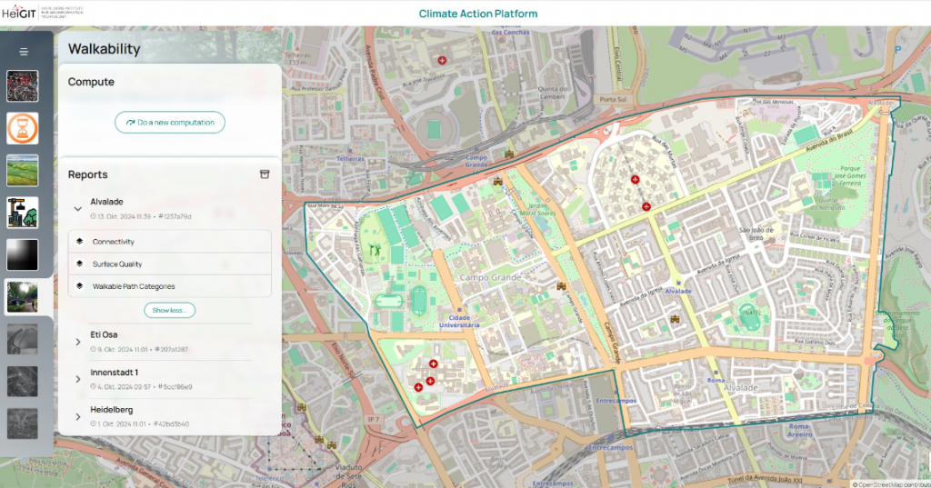
At HeiGIT, we recognize that there is no one-size-fits-all solution when it comes to urban mobility and climate mitigation. Every city has its unique needs, shaped by cultural, environmental, and socio-economic factors. That’s why our approach focuses on providing tailored geospatial indicators that aim to support local actors—planners, NGOs, and other stakeholders— in addressing their city’s specific challenges related to walkability.
Through a co-creation process, we are developing a walkability index that adapts to different regions and needs worldwide. For example, in Lagos, Nigeria, the lack of sidewalks is not necessarily a defining barrier to walkability. In many districts, there are few cars, and pedestrians occupy the entire street, reshaping the dynamics of what makes a space “walkable.”

In this spirit, our walkability indicators are designed to answer questions concerning safety, accessibility, and climate-friendliness of urban environments:
-
Who do I have to share this path with? This indicator refers to the types of users on the pathway—pedestrians, cyclists, vehicles—and the designations of paths.
-
Can everybody walk on this surface comfortably? Evaluating surface quality includes considering smoothness, surface type (such as asphalt, concrete, or gravel), and the state of maintenance.
-
Can I reach my destination without detours? This measures connectivity—the extent to which streets and pathways are well-linked.
Open Data for Walkability and the 15-Minute City
We aim to make our walkability index globally accessible but locally adaptable, following open methodologies. Using open data sets, such as OpenStreetMap (OSM), we ensure accessibility and adaptability of the data, allowing cities of varying sizes and resources to incorporate walkability into their urban design initiatives. This process helps planners calculate accessibility to essential services (like supermarkets or doctors) within the framework of a “walkable 15-minute city.”

Our open methods and data facilitate collaboration with municipalities, NGOs, and other stakeholders worldwide. As a result, we can provide planners with the necessary tools to assess the current state of walkability and simulate potential improvements in the future.
Looking ahead
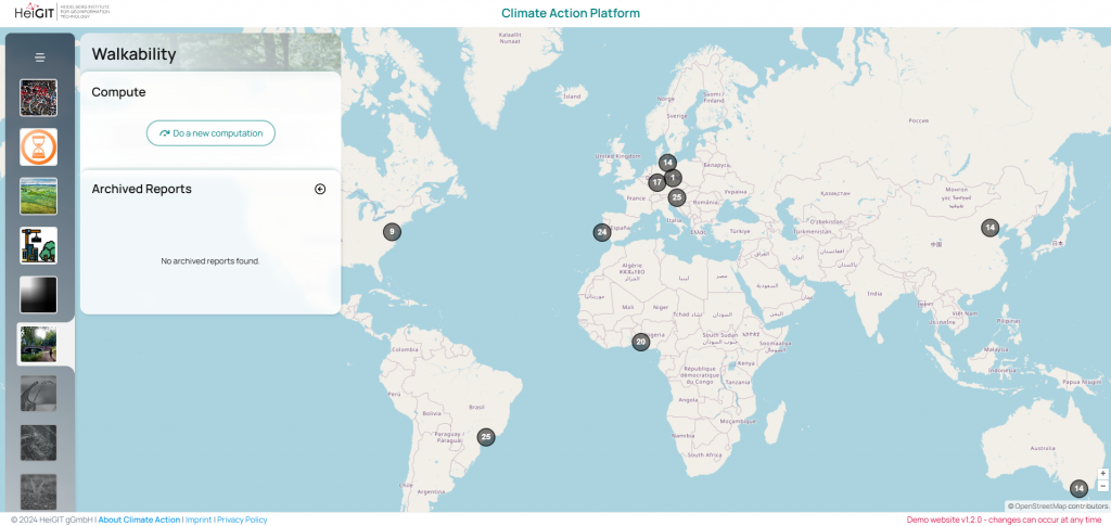
The walkability index is still under development, and future research will assess how well our adapted analysis of pedestrian friendliness aligns with the real-world experiences of different population groups. Ultimately, we plan to share this index via an online platform, providing cities with the tools they need to create more climate-conscious urban environments.
To keep up with future developments and releases related to mobility, humanitarian aid, climate action and data analytics, follow the social media channels and stay up to date on our blog.
References:
https://www.frontiersin.org/journals/built-environment/articles/10.3389/fbuil.2021.721218/full
https://www.ipcc.ch/report/ar6/wg3/downloads/report/IPCC_AR6_WGIII_SummaryForPolicymakers.pdf
https://globalabc.org/global-status-report
Moreno, C.; Allam, Z.; Chabaud, D.; Gall, C.; Pratlong, F. Introducing the “15-Minute City”: Sustainability, Resilience and Place Identity in Future Post-Pandemic Cities. Smart Cities 2021, 4, 93-111. https://www.mdpi.com/2624-6511/4/1/6
Ludwig, C., Lautenbach, S., Schömann, E. M., & Zipf, A. (2021). Comparison of simulated fast and green routes for cyclists and pedestrians. In 11th International Conference on Geographic Information Science (GIScience 2021)-Part II. Schloss Dagstuhl-Leibniz-Zentrum für Informatik.

