Following the catastrophic earthquakes in Venezuela on June 24, 2026,…
For well over a decade, our team has been transferring…
The Colombian Red Cross’s Disaster Risk Management (DRM) team works…
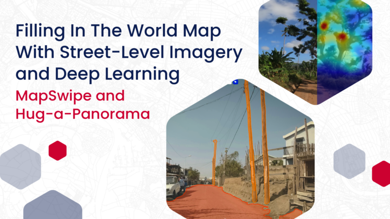
HeiGIT has been working with deep learning models and street-level…
The origin In 2021, HeiGIT, the GIScience Research Group, and…
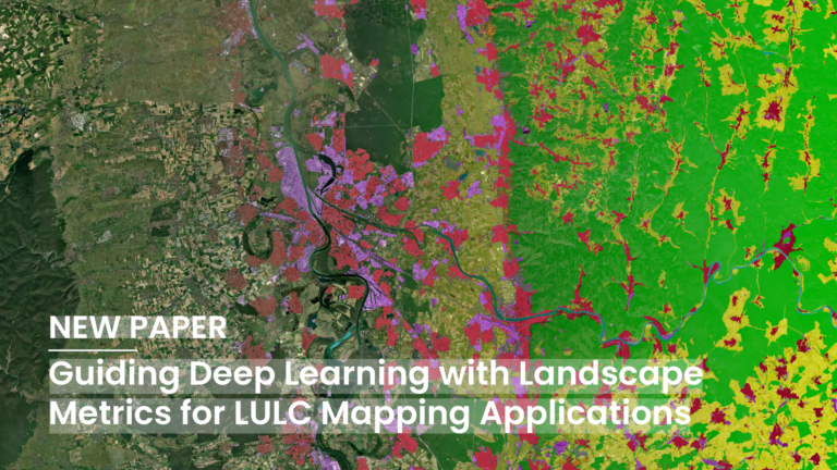
Deep Learning (DL) has become a core methodological pillar in…