From humanitarian aid and climate action to optimizing delivery routes and analyzing mobility patterns, our products offer users a wide range of tools for data-based decision-making.
Openrouteservice is an open-source platform leveraging OpenStreetMap data to provide advanced mobility and accessibility analysis. Surrounding the core engine is a vibrant ecosystem of services and tools, enabling seamless integration into diverse projects. We are committed to transparency, making our tools and research freely accessible. Our interactive map client highlights the platform’s capabilities and is available for anyone to explore.

Openrouteservice is more than a routing engine—it’s a comprehensive mobility analysis platform supporting transport, logistics, and accessibility studies. Its extensive range of services makes it a powerful tool for analyzing and optimizing mobility solutions for diverse applications.
Calculate routes from point A to B using various transport modes such as walking, cycling, driving, and wheelchair.
Determine reachable areas within specified time or distance limits to perform detailed reachability studies.
Generate large-scale matrices to calculate travel times and distances for thousands of points. With support for 50×50 origin-destination pairs in a single request, it’s ideal for scalable analysis.
Solve complex logistical problems with multi-vehicle, time-window, and payload-aware optimization. Perfect for delivery routing, traveling salesman problems, and humanitarian operations.
Access the underlying graph structure of the routing engine via the export endpoint. This allows for detailed network analysis, critical link identification, and the calculation of custom network indicators.
Align geographic points to the nearest navigable route with the snap endpoint, ensuring GPS data accurately matches the road network for precise mobility analysis and real-world applications.
HeiGIT strives to support the community by providing innovative tools and services that benefit both the general public in their everyday lives and first responders in critical situations. Through projects that enhance disaster management and promote environmentally conscious routing, we aim to empower users with reliable and personalized navigation solutions.
Openrouteservice for Disaster Management supports humanitarian efforts in disaster-prone regions by providing up-to-date routing information. Using continuously updated and enriched OSM data, it enables critical road network assessments. For now, this is a demo version, and we will continue developing and refining the project based on demand.
Using GIS isochrone methods, OpenAccessLens assesses healthcare facility catchment areas to determine accessibility and service coverage. By analyzing spatial data and travel times, the platform helps identify the population that can access these facilities, aiding in planning and resource allocation for improved healthcare access.
The meinGrün web-app suggests routes that prioritize paths rich in greenery, fostering eco-friendly travel and access to natural surroundings.
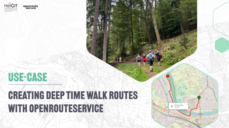
We also offer tailored walking and biking profiles that help users maintain a low carbon footprint, with details on trail slopes and conditions to match their fitness levels.
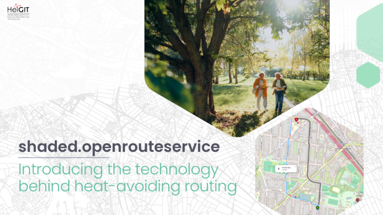
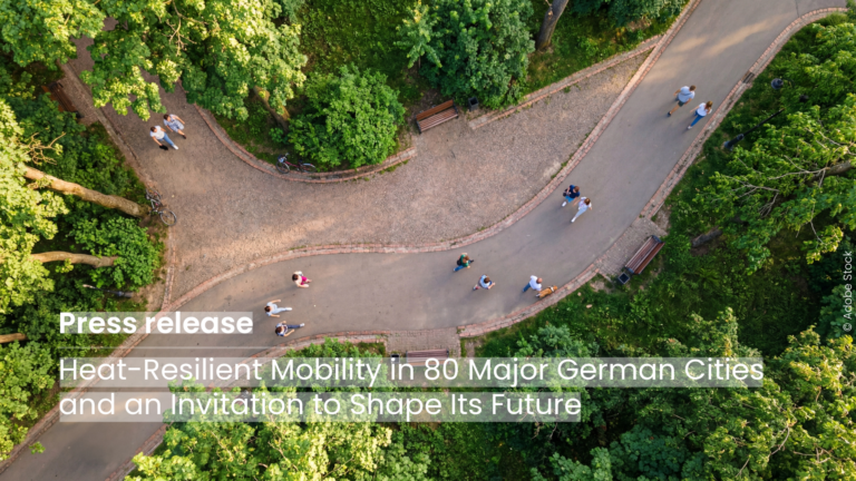
We also provide environmentally sound, heat-avoiding routing. The shaded.openroutesrvice app steers users away from sun-exposed main roads, directing them through parks and shaded areas instead. The app calculates these alternative routes using deterministic shadow modeling. It was originally developed within the transdisciplinary research project HEAL (Heat Adaptation for Vulnerable Population Groups).

For well over a decade, our team has been transferring…
The origin In 2021, HeiGIT, the GIScience Research Group, and…
The new HeiGIT application shows how digital geodata can make…