The origin In 2021, HeiGIT, the GIScience Research Group, and…
The new HeiGIT application shows how digital geodata can make…
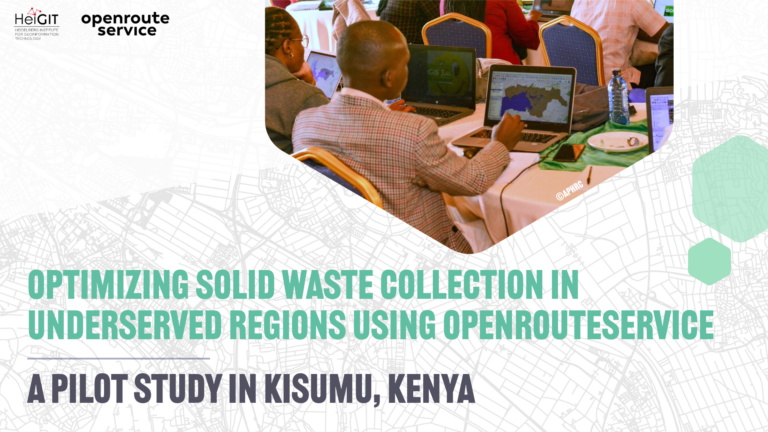
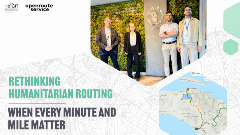
In humanitarian emergencies, delivering relief in time is key. Every…
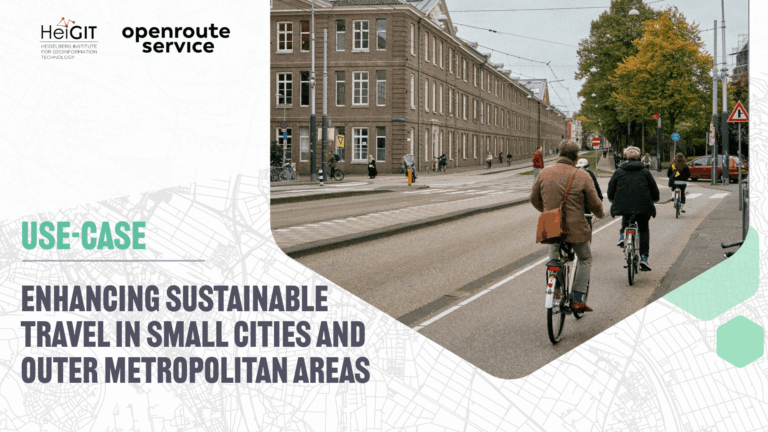
The ENHANCE project explores how 15-minute city principles can be…
Volunteered Geographic Information (VGI) is a valuable resource for an…
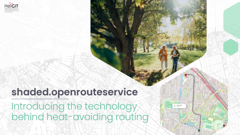
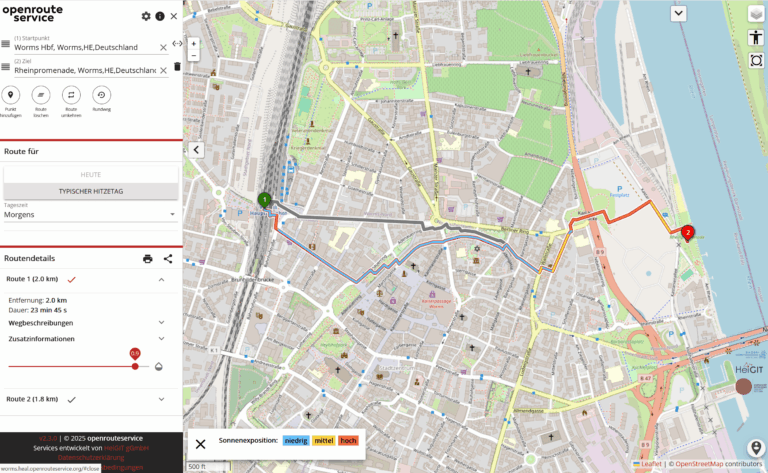
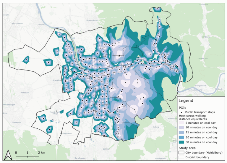
As summer temperatures soar, being outdoors poses rising health risks,…
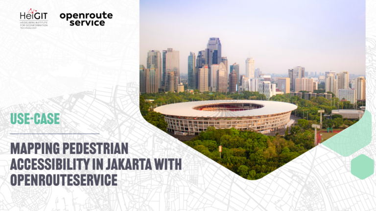
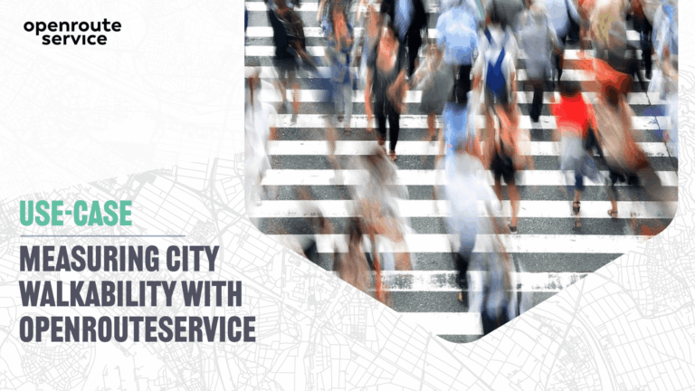
The study presents a detailed analysis of walking access to…
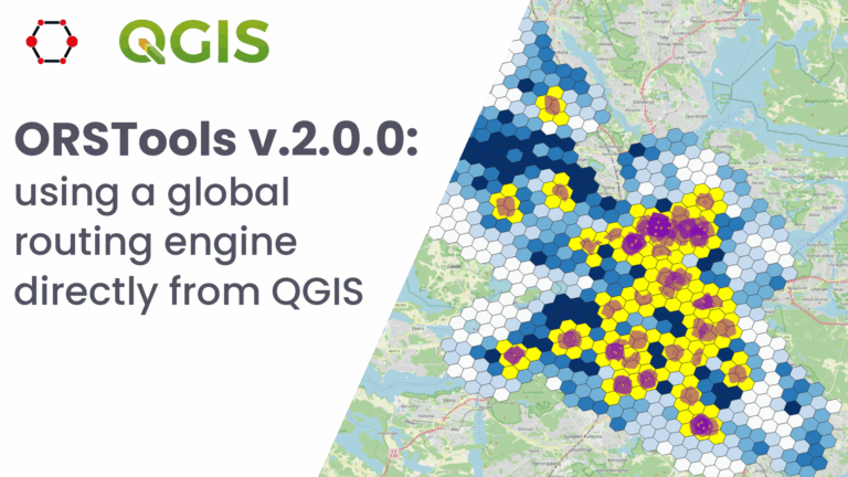
What is ORSTools? With ORSTools, most of the functionalities of…
This study introduces the isocalor approach to assess how solar…
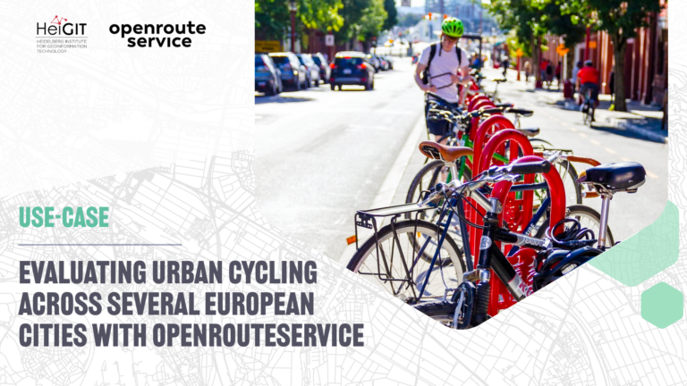
Students of the Institute of Geography at Heidelberg University explored…
Do we really need digital sovereignty—and why? Today, over 80%…